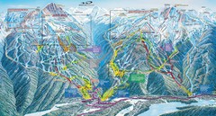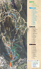
Whistler Blackcomb (Garibaldi Lift Co.) Biking...
Trail map from Whistler Blackcomb (Garibaldi Lift Co.), which provides downhill, night, and terrain...
1488 miles away
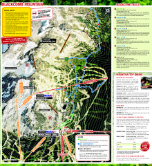
Whistler Blackcomb (Garibaldi Lift Co.) Hiking...
Trail map from Whistler Blackcomb (Garibaldi Lift Co.), which provides downhill, night, and terrain...
1488 miles away
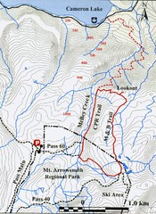
Mt. Arrowsmith Park CPR Historic Trail Map
Trail map of Mt. Arrowsmith Regional Park CPR Historic Trail, Vancouver Island
1489 miles away
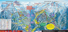
Whistler Blackcomb Ski Trail Map 2007-2008
Official ski trail map of the Whistler Blackcomb ski area from the 2007-2008 season. Site of Alpine...
1490 miles away
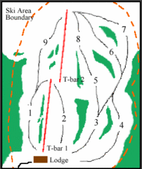
Mount Arrowsmith (Upper) Ski Trail Map
Trail map from Mount Arrowsmith (Upper).
1490 miles away
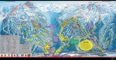
Whistler Blackcomb Ski Trail map 2005-06
Official ski trail map of the Whistler Blackcomb ski area from the 2005-2006 season. Site of the...
1490 miles away
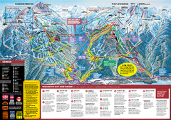
Whistler Blackcomb Trail map 2010-2011
Official ski trail map Whistler Blackcomb for the 2010-2011 season.
1490 miles away
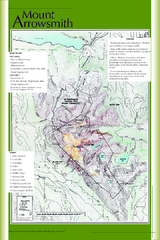
Mount Arrowsmith Climbing Route Map
Climbing routes on Mount Arrowsmith, Vancouver Island
1490 miles away
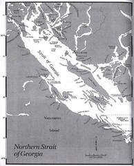
Northern Strait of Georgia Map
1492 miles away
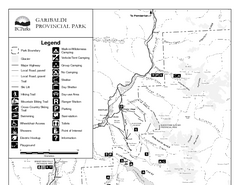
Garibaldi Provincial Park Map
Park map of Garibaldi Provincial Park, BC. 2 pages.
1493 miles away
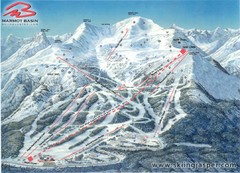
Jasper’s Marmot Basin Future Lift for Ski Trail...
Trail map from Jasper’s Marmot Basin, which provides downhill skiing. This ski area has its own...
1493 miles away
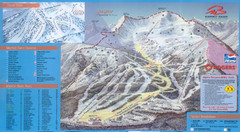
Jasper’s Marmot Basin Ski Trail Map
Trail map from Jasper’s Marmot Basin, which provides downhill skiing. This ski area has its own...
1493 miles away
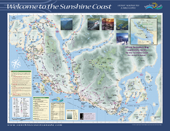
Lower Sunshine Coast Recreation Map
Recreation map of the Lower Sunshine Coast in BC. Shows hiking trails, mountain biking trails...
1494 miles away
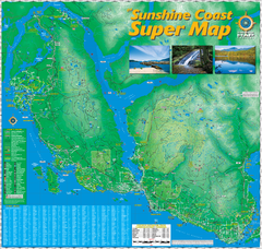
Sunshine Coast Super Map
Sunshine Coast Super Map Poster. 44" X 42". Also Available in folded version.
1496 miles away
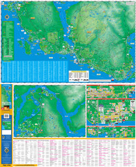
Folded Sunshine Coast Super Map
Folded Sunshine Coast Super Map
1498 miles away
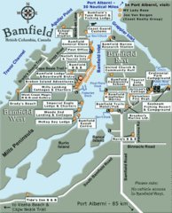
Bamfield Tourist Map
1498 miles away
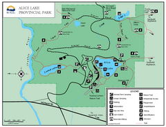
Alice Lake Provincal Park Map
1501 miles away
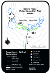
Dakota Ridge Ski Trail Map
Trail map from Dakota Ridge, which provides nordic skiing. This ski area has its own website.
1503 miles away
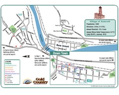
Ashcroft Map
Map of Ashcroft, includes all streets, highways, accommodations and attractions.
1503 miles away
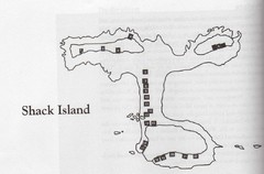
Shack Island Map
Illustration taken from the book "Shack Island" by Ruth English Matson. 2004.
1508 miles away
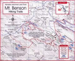
Mt. Benson Hiking Trail Map
Show hiking trails in the Nanaimo and Area Land Trust containing Mt. Benson. Also shows roads and...
1509 miles away
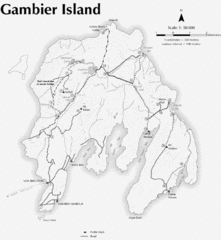
Gambier Island Trail Map
Trail map of Gambier Island, BC. See site for trail descriptions and details.
1510 miles away

Kamchatka Peninsula Map
1511 miles away
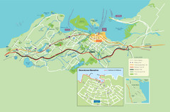
Nanaimo City Map
Map of Nanaimo, BC. Shows trails and parks.
1512 miles away
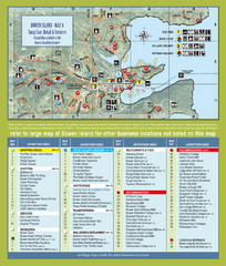
Bownen Island Tourist Map
1517 miles away

Bowen Island 3D Aerial Map
3d aerial map of Bowen Island, BC
1517 miles away
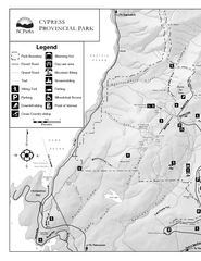
Cypress Provincial Park Map
Park map of Cypress Provincial Park, BC. Home of the North Shore Mountains. 2 pages.
1519 miles away
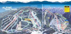
Cypress Mountain Ski Trail Map
Official ski trail map of Cypress Mountain ski area from the 2007-2008 season. Official freestyle...
1520 miles away
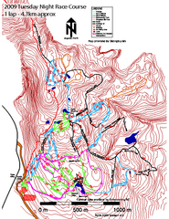
Cypress Mountain Tuesday Night Race Course Ski...
Trail map from Cypress Mountain, which provides downhill, night, nordic, and terrain park skiing...
1520 miles away
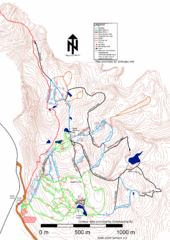
Cypress Mountain Nordic (Skiingbc.info Topo...
Trail map from Cypress Mountain, which provides downhill, night, nordic, and terrain park skiing...
1520 miles away
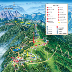
Grouse Mountain Summer Trail Map
Summer trail map of Grouse Mountain Resort near Vancouver, BC.
1524 miles away
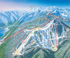
Grouse Mountain Ski Trail Map
Trail map from Grouse Mountain, which provides downhill, night, and terrain park skiing. It has 5...
1524 miles away
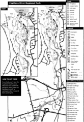
Capilano River Park Trail Map
Trail map of Capilano River Regional Park near Vancouver, BC
1525 miles away
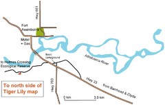
Fort Assiniboine Location Map
1525 miles away
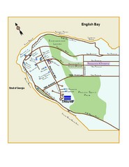
Downtown Vancouver Map
1526 miles away
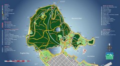
Stanley Park Map
1526 miles away
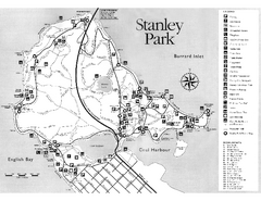
Stanley Park Trail Map
Trail map of Stanley Park near downtown Vancouver, BC. Shows monuments.
1527 miles away
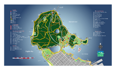
Stanley Park Map
Overview trail map of Stanley Park in Vancouver, BC.
1527 miles away

