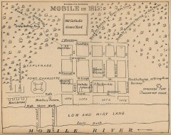
Antique map of Mobile from 1815
"Mobile in 1815" From Report on the Social Statistics of Cities, Compiled by George E...
284 miles away
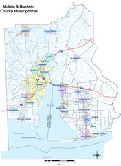
Mobile County Map
Clear map marking Mobile County and local area.
284 miles away

Mobile, Alabama City Map
284 miles away
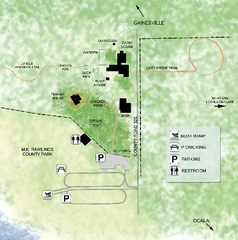
Marjorie Kinnan Rawlings Historic State Park Map
Map of park with detail of trails and recreation zones
284 miles away
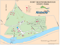
Fort Boonesborough State Park Map
Map of trails, historical sites and facilities at Fort Boonesborough State Park.
284 miles away
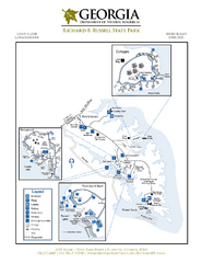
Richard B. Russell State Park Map
Map of park with detail of trails and recreation zones
284 miles away
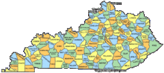
Kentucky Counties Map
284 miles away
Kentucky Zip Code Map
Check out this Zip code map and every other state and county zip code map zipcodeguy.com.
284 miles away
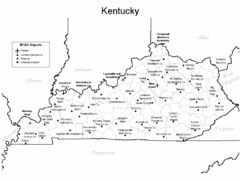
Kentucky Airports Map
284 miles away
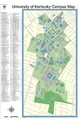
University of Kentucky Campus Map
Campus Map of University of Texas includes detailed numbered building list, all streets and sports...
285 miles away
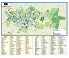
University of Kentucky Campus Map
2008 UK Visitor Map
285 miles away
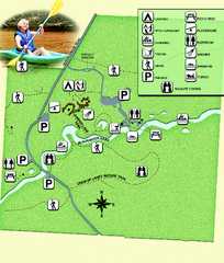
Blackwater River State Park Map
Map of park with detail of various recreation zones
286 miles away
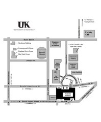
University of Kentucky Campus Map
Map of a part of University of Kentucky. Includes the specific location of the parking garage next...
286 miles away

Carlyle Lake, Illinois Site Map
286 miles away
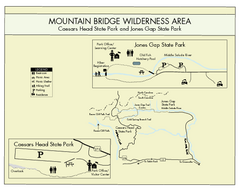
Mountain Bridge Wilderness Area Map
Map and legend marking bathrooms, picnic sites, trails and more.
286 miles away
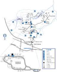
A. H. Stephens Historic Park Map
Map of park with detail of trails and recreation zones
286 miles away

The Reserve Shaded Relief Map
This map is a shaded relief property map of The Reserve in North Carolina with survey boundaries...
286 miles away
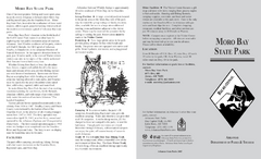
Moro Bay State Park Map
Map of Moro Bay State Park showing trails and park amenities.
287 miles away
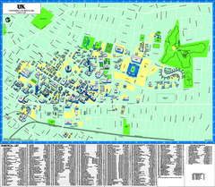
University of Kentucky Map
Campus Map of the University of Kentucky. All areas shown.
287 miles away
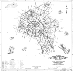
Fayette County General Highway Map
Transportation Map of Fayette County, KY
288 miles away
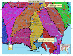
Drainage Basins of the Southeast United States Map
Lakes, rivers and dams in the Apalachicola, Chattahoochee and Flint River System.
288 miles away
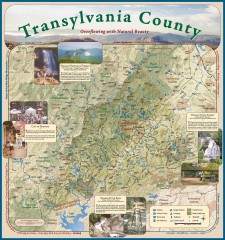
Transylvania County Tourism Development Map
Transylvania County tourist map, showing all points of interest including hiking and picnic areas.
289 miles away
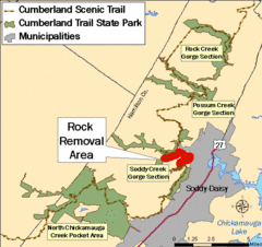
Cumberland Trail, Alabama Map
290 miles away
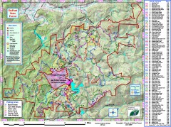
DuPont State Forest Trail map
Trail map of DuPont State Forest. Shows all trails with mileages. From dupontforest.com: "...
291 miles away

Asheville School Campus map
Map of the 300-acre campus of Asheville School, a private boarding school for grades 9-12 with...
291 miles away
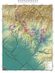
Alexander Mountain Estate Map
Vineyards in Alexander, North Carolina
292 miles away
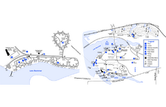
Georgia Veterans State Park Map
Map of park with detail of trails and recreation zones
292 miles away
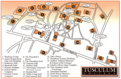
Tusculum College Campus Map
Campus map of Tusculum College in
293 miles away
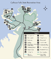
Calhoun Falls State Park Map
Clear map and detailed legend help make this map easy to read and follow.
293 miles away
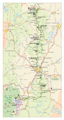
Asheville, North Carolina Parkway Map
293 miles away
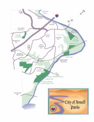
City of Arnold Parks Map
294 miles away
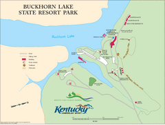
Buckhorn Lake State Resort Park Map
Map of Trails and Facilities of Buckhorn Lake State Resort Park.
294 miles away
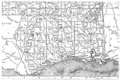
Mississippi Gulf Coast counties, 1906 Map
294 miles away
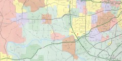
Powder Valley Map
Map of Powder Valley, includes all freeways, streets, waterways, and county divisions.
294 miles away
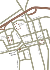
Downtown Asheville Map
Located in the heart of Asheville’s professional, municipal and cultural activity, Capital...
295 miles away
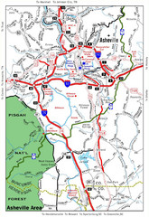
Asheville, NC Tourist Map
295 miles away
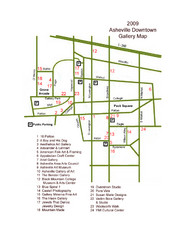
Downtown Asheville Galleria Map
Numbered shopping map of Downtown Asheville.
295 miles away
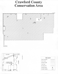
Crawford County, Illinois Site Map
295 miles away
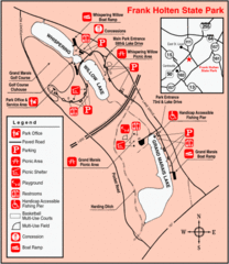
Frank Holten State Park, Illinois Site Map
295 miles away
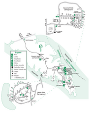
Bobby Brown State Park Map
Map of park with detail of trails and recreation zones
296 miles away

