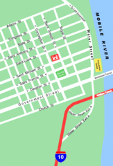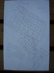
Prairie du Rocher City Map
Historical city map of Prairie du Rocher
265 miles away
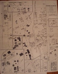
Prairie du Rocher City Map
Historical city map of Prairie du Rocher, Illinois
265 miles away
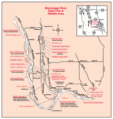
Mississippi River, Illinois Site Map
267 miles away
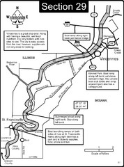
Vincennes, IN/ St. Francisville, IL Wabash River...
This is a page from the Wabash River Guidebook. The map shows important information for boaters and...
268 miles away
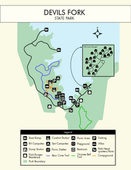
Devils Fork State Park Map
Clearly marked state park map.
269 miles away

Lake Oconee Map
269 miles away
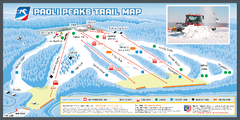
Paoli Peaks Ski Trail Map
Trail map from Paoli Peaks, which provides downhill, night, and terrain park skiing. It has 8 lifts...
269 miles away
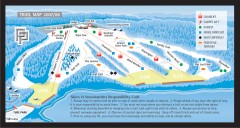
Paoli Peaks Ski Trail Map
Official ski trail map of Paoli Peaks ski area from the 2007-2008 season.
269 miles away
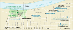
George Rogers Clark National Historical Park...
Official NPS map of George Rogers Clark National Historical Park in Indiana. Map shows all areas...
270 miles away

Vicennes and Knox County Indiana Visitor Map
Street map of Vicennes with maps of the entire state and county as well.
270 miles away
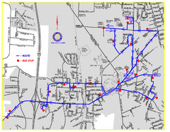
Berea Bus Route Map
270 miles away

Waynesville and Lake Junaluska Panoramic Map
Panoramic Map taking in Waynesville, Lake Junaluska and the Richland Creek watershed in Haywood...
271 miles away
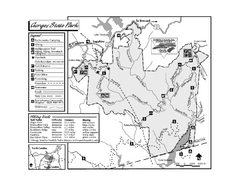
Gorges State Park map
Detailed recreation map for Gorges State Park in North Carolina
272 miles away
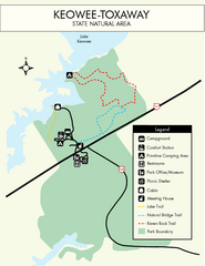
Keowee Toxaway State Park Map
Clear and detailed map of this wonderful state park.
272 miles away
Pinnacle Mountain State Park Map
Map of the Pinnacle Mountain State Park including trails, park sites and amenities.
273 miles away
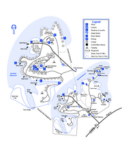
Hart State Park Map
Map of park with detail of trails and recreation zones
273 miles away
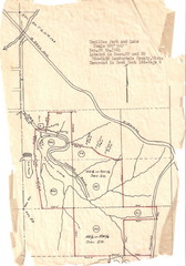
Hamilton Park and Lake Map
flood maps, elevation, survey map for Hamilton Park in Lauderdale County, Miss.
273 miles away
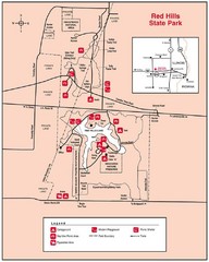
Red Hills, Illinois State Park Site Map
273 miles away
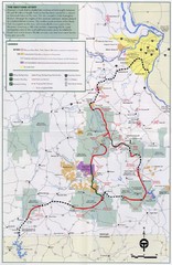
Ozark Trail Map
275 miles away
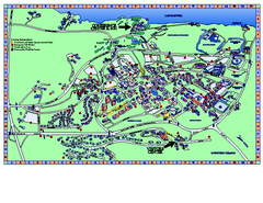
Clemson University Map
Clemson University Campus Map. All buildings shown.
275 miles away
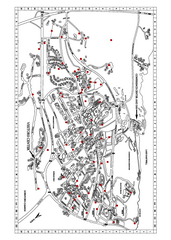
Clemson University Map
275 miles away
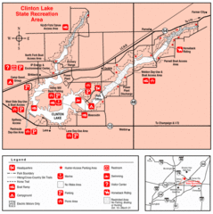
Clinton Lake, Illinois Site Map
276 miles away
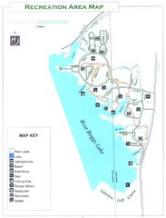
West Boggs Park Map
277 miles away
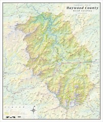
Haywood County Topographical Map
This topographic wall map of Haywood County emphasizes the rugged mountain terrain and natural...
278 miles away
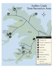
Sadlers Creek State Park Map
This simple map gives you an easy to follow layout of this amazing state park.
278 miles away

Charlestown State Park Map
278 miles away
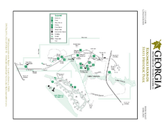
Kolomoki Mounds State Park Map
Map of park with detail of trails and recreation zones
279 miles away
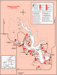
Stephen A. Forbes State Park, Illinois Site Map
279 miles away
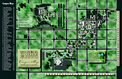
Georgia College Campus Map
Georgia College Campus Map. Shows all areas.
279 miles away
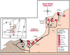
South Shore State Park, Illinois Site Map
281 miles away

Panoramic View of the Reserve Map
Panoramic map of the view northeast from 'Gladiola Ridge' in Brevard, North Carolina.
282 miles away
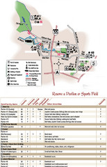
City of Festus Parks Map
282 miles away
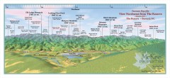
Northwest Reserve Panorama Map
Panoramic Map of the view Northwest from the Reserve in Brevard, North Carolina.
282 miles away
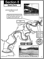
Williams, IN White River East Fork Map
This is a page from the White River Guidebook. The map shows important information for boaters and...
283 miles away

Map of Southern Blue Ridge Escarpment
Map of the Nature Conservancy's Southern Blue Ridge Escarpment project area showing protected...
283 miles away
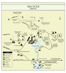
Table Rock State Park MAP
Clear and simple state park map and legend.
283 miles away
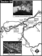
Harlan, KY-Cumberland River Headwaters Map
Section 58 of the Cumberland River Guidebook shows the beginning of the Cumberland River at the...
283 miles away
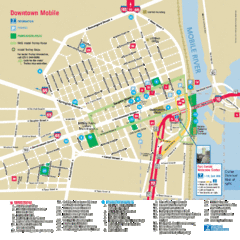
Mobile, Alabama Tourist Map
283 miles away
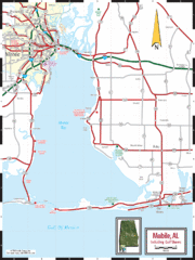
Mobile, Alabama Tourist Map
283 miles away

