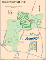
Ben Hawes State Park Map
Map of trails, facilities and golf course in Ben Hawes State Park.
210 miles away
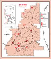
Trail of Tears State Park, Illinois Map
211 miles away
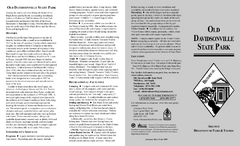
Old Davidsonville State Park Map
Map of Old Davidsonville State Park historical sites, amenites and other park sites.
212 miles away
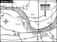
Ohio River at Owensboro, Kentucky Map
This is a page from the Ohio River Guidebook. The map shows important information for boaters and...
212 miles away
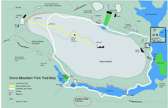
Stone Mountain Park Trail map
Trail map of Stone Mountain Park near Atlanta, GA
213 miles away
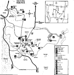
Giant City, Illinois Site Map
213 miles away
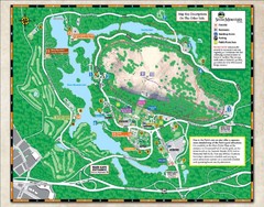
Stone Mountain State Park Map
213 miles away
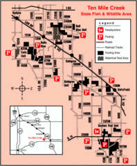
Ten Mile Creek State Wildlife Area, Illinois Site...
213 miles away
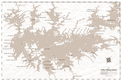
Pirate Map of Lake Sidney Lanier
Retro look pirate's map of Lake Sidney Lanier near Atlanta, Georgia
214 miles away
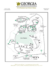
F.D. Roosevelt State Park Map
Map of park with detail of trails and recreation zones
214 miles away
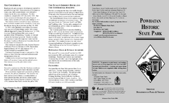
Powhatan Historic State Park Map
Map of the historic buildings of Powhatan State Park.
214 miles away
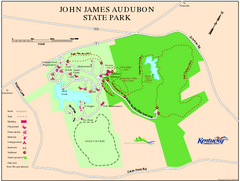
John James Audubon State Park Map
Map of trails, facilities and historical sites in John James Audubon State Park.
215 miles away
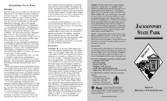
Jacksonport State Park Map
Map of Jacksonport State Park showing historical sites, trails, amenities and river access.
215 miles away
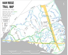
Haw Ridge Trail Map
215 miles away
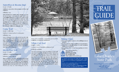
Lake Charles State Park Trail Map
Map of trails for Lake Charles State Park including othe park sites and amenities.
215 miles away
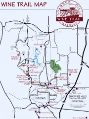
Shawnee Hills Wine Trail Map
Wineries in the Shawnee Hills area of Illinois.
215 miles away

Panola Mountain State Park Map
Map of park with detail of trails and recreation zones
216 miles away
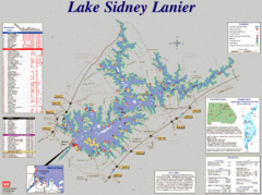
Lake Sidney Lanier Recreation Map
Recreation map of Lake Sidney Lanier in Georgia. Shows campgrounds, day use parks, marinas, and...
216 miles away
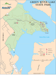
Green River Lake State Park Map
Map of trails and facilities in Green River Lake State Park.
217 miles away
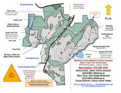
Davidson-Arabia Mountain Nature Preserve Map
Davidson-Arabia Mountain Nature Preserve is comprised of 570 acres of granite outcrop, wetlands...
217 miles away
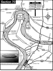
Ohio River at Evansville, IN and Henderson, KY Map
This is a page from the Ohio River Guidebook. The map shows important information for boaters and...
219 miles away

Detailed Map of Hawkesdene House area
Detailed map of how to get to Hawkesdene House B&B Inn
220 miles away
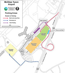
McGhee Tyson Airport Map
220 miles away
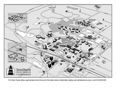
Southern Illinois University Carbondale Map
Campus Map of the Southern Illinois University Carbondale. All buildings shown.
221 miles away
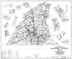
Mccreary County General Highway Map
Map of McCreary County with road, waterways and towns identified.
223 miles away

University of Tennessee Map
226 miles away
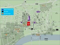
University of Tennessee Map
Map with locations of downtown Tennessee.
226 miles away
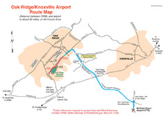
Knoxville and Oakridge Airports Map
227 miles away

Knoxville, Tennessee City Map
227 miles away
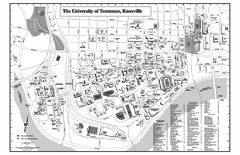
University of Tennessee Map
Campus Map of the University of Tennessee. All areas shown.
227 miles away
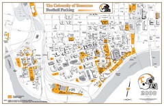
University of Tennessee Tourist Map
227 miles away
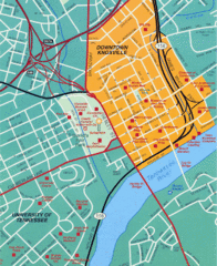
Knoxville, TN Tourist Map
227 miles away
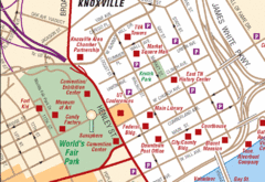
Knoxville, TN Tourist Map
227 miles away
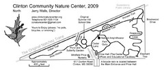
Clinton Community Nature Center Map
A relaxing walk through the Clinton Community Nature Center.
227 miles away
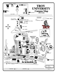
Troy University Map
Campus map of Troy University Troy campus. All areas shown.
228 miles away
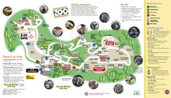
Knoxville Zoo Map
230 miles away
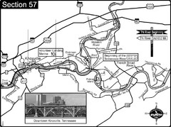
Knoxville, TN Tennessee River/Holston River...
This is the source of the Tennessee River at the confluence of the Holston River and French Broad...
230 miles away
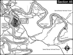
Burnside, KY-Cumberland River Map
Burnside, Kentucky is located at the fork of the Cumberland River and the South Fork. This is...
231 miles away
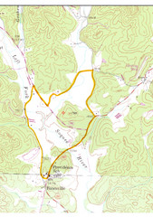
Soque River Ramble 6K Run & Walk Course...
Soque River Ramble 6K Race Course Elevation Map in Georgia.
231 miles away
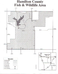
Hamilton County Wildlife Area, Illinois Site Map
232 miles away

