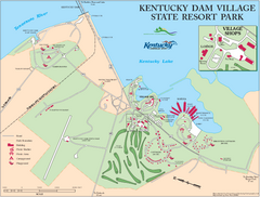
Kentucky Dam Village State Resort Park Map
Map of golf course and facilities for Kentucky Dam Village State Resort Park, one of three state...
157 miles away
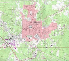
Alexander City Map
Topography city map of Alexander City, Alabama
162 miles away
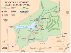
Pennyrile State Resort Park map
Recreation map for Pennyrile Forest State Park in Kentucky
163 miles away
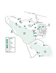
John Tanner State Park Map
Map of park with detail of trails and recreation zones
165 miles away
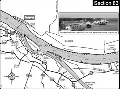
Ohio River & Tennessee River at Paducah, KY...
This is a page from the Ohio River Guidebook. The map shows important information for boaters and...
165 miles away
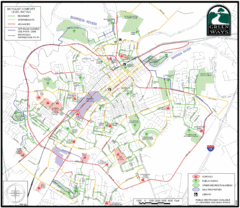
Bowling Green Biking Map
Map of biking trails in the city of Bowling Green area. Includes all streets, parks, some buildings...
166 miles away
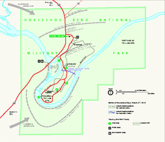
Horseshoe Bend National Military Park Official Map
Official NPS map of Horseshoe Bend National Military Park in Alabama. Horseshoe Bend National...
168 miles away
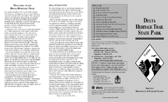
Delta Heritage Trail State Park Map
Map of Arkansas Historical Delta Heritage Trail both completed and uncompleted sections.
168 miles away
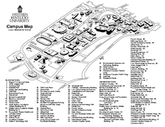
Western Kentucky University Map
Western Kentucky University Campus Map. All buildings shown
168 miles away
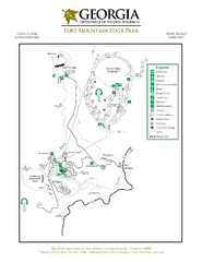
Fort Mountain State Park Map
Map of park with detail of trails and recreation zones
169 miles away

UWG Campus Map
169 miles away
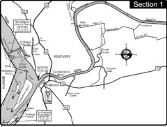
Smithland, KY Cumberland & Ohio Rivers Map
This is the mouth (end) of the Cumberland River as it pours into the Ohio River after flowing 695...
170 miles away
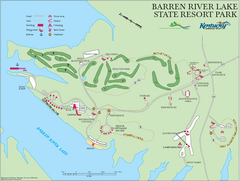
Barren River Lake State Resort Park Map
Map of facilities and golf course in Barren River Lake State Resort Park.
170 miles away
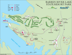
Barren River State Park map
Recreation map for Barren River Lake State Park in Kentucky
170 miles away
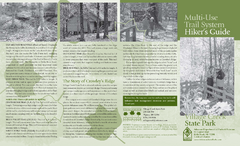
Village Creek State Park Trail Map
Trail map for hiking, bicycles and horses in Village Creek State Park.
173 miles away
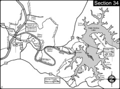
Celina, TN Dale Hollow Lake-Cumberland River Map
Celina Tennessee is the location for the head of navigation for the Cumberland River at the fork of...
174 miles away
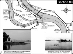
Ohio River at Cairo, IL and the Mississippi River...
The Ohio River ends at it's confluence with the Mississippi River at mile 981. This is a page...
174 miles away
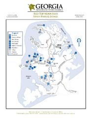
Red Top Mountain State Park Map
Map of park with detail of trails and recreation zones
175 miles away
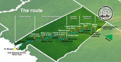
Alabama Scenic River Trail Map
631 miles of riverway. Starts in northeastern Alabama's mountains, flows through 9 lakes and...
176 miles away
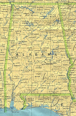
Alabama Map
County boundaries and names, county seats, rivers. Original scale 1:2,500,000 U.S. Geological...
176 miles away
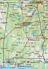
Alabama Reference Map
176 miles away
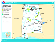
Alabama Federal Lands and Indian Reservations Map
176 miles away
Alabama Relief Map
176 miles away
Alabama Topography Map
176 miles away
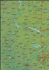
Alabama Area Map
176 miles away
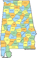
Alabama Counties Map
176 miles away
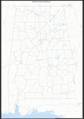
Alabama Zip Code Map
Check out this Zip code map and every other state and county zip code map zipcodeguy.com.
176 miles away
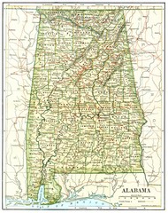
1891 Alabama Map
High quality 1891 Alabama map marking many cities and towns.
176 miles away
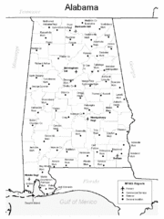
Alabama Aiports Map
176 miles away

Central Kentucky Trail Map
177 miles away
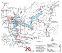
Allatoona Lake Map
177 miles away
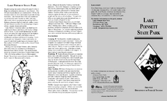
Lake Poinsett State Park Map
Map of Lake Poinsett State Park showing Great Blue Heron Trail , boat ramps and park amenities.
178 miles away
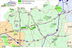
Green River Area Hunting Map
Map marking highways, forests, parks and hunting zones in Kentucky's beautiful Green River...
178 miles away
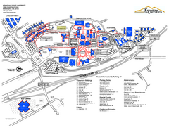
Kennesaw State University Map
Kennesaw State University Campus Map. All buildings shown.
182 miles away
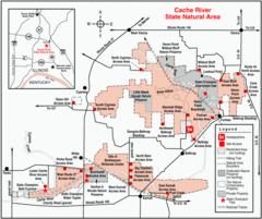
Cache River, Illinois Site Map
183 miles away
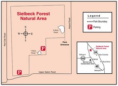
Sielbeck Forest, Illinois Site Map
184 miles away
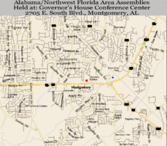
Montgomery, Alabama City Map
184 miles away
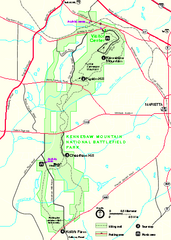
Kennesaw Mountain National Battlefield Park...
Official NPS map of Kennesaw Mountain National Battlefield Park in Georgia. We are a day use only...
185 miles away
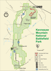
Kennesaw Moutain National Battlefield Park Map
185 miles away

