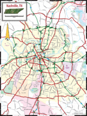
Nashville Road Map
Shows roads and major streets in Nashville, TN area
108 miles away
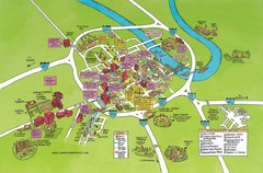
Nashville, TN Tourist Map
108 miles away
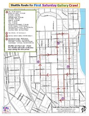
Nashville First Saturday Gallery Crawl Shuttle...
108 miles away
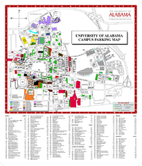
University of Alabama Map
108 miles away

Nashville City Map
109 miles away
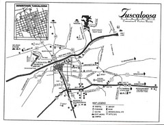
Tuscaloosa Map
109 miles away
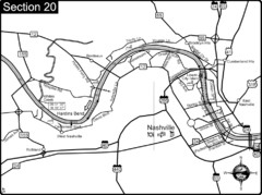
Nashville, TN-Cumberland River Map
The Cumberland River is an important waterway to the city of Nashville. Nashville is also a great...
109 miles away
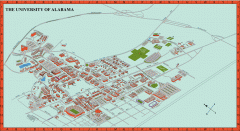
University of Alabama Map
University of Alabama Campus Map. All areas shown.
111 miles away
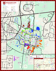
Mississippi State University Map
113 miles away
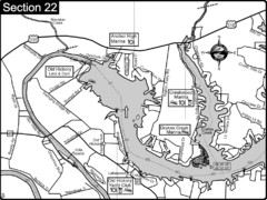
Old Hickory Lake-Cumberland River Map
Section 22 from the Cumberland River Guidebook shows the dam that forms Old Hickory Lake near...
118 miles away

Little River Canyon Tourist Map
Little River Canyon, Alabama
118 miles away
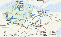
Fort Donelson National Battlefield Official Map
Official NPS map of Fort Donelson National Battlefield in Tennessee. Fort Donelson visitor center...
119 miles away
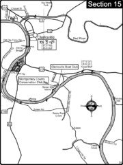
Clarksville, TN-Cumberland River Map
Cumberland River flows past Clarksville that has a great riverfront and services for traveling...
121 miles away
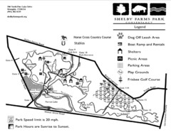
Shelby Farms Park Activities Areas Map
Visitor map of Shelby Farms Park. Shows parameters of dog areas, parking, play grounds, shelters...
123 miles away
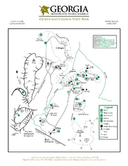
Cloudland Canyon State Park Map
Map of park with detail of trails and recreation zones
125 miles away
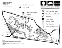
Shelby Farms Park Map
125 miles away
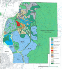
Mcclellan Land Use Map
"When the last note of taps played and the garrison flag was lowered at Fort McClellan in...
130 miles away
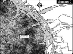
Lake Barkley-Cumberland River Map
Portion of Lake Barkley formed on the Cumberland River. In this section the state line is shown...
131 miles away
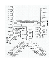
Memphis International Airport Terminal Map
Official Terminal Map of Memphis International Airport. Shows all terminals.
131 miles away
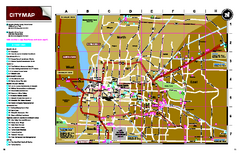
Memphis, Tennessee City Map
132 miles away
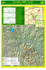
Noxubee Hills Trail Map
Shows singletrack and doubletrack trails in the Noxubee Hill trail system in Tombigbee National...
134 miles away
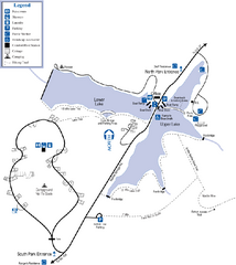
James H. Floyd State Park Map
Map of park with detail of trails and recreation zones
135 miles away
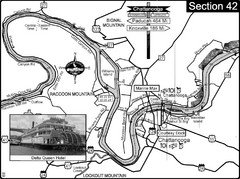
Chattanooga, TN Tennessee River Map
For boating navigational information and river road travel along the Tennessee River.
136 miles away
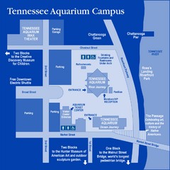
Tennessee Aquarium Campus Map
Map of Tennessee Aquarium Campus includes location of all buildings, bathrooms, parking, and...
136 miles away
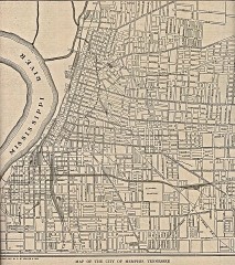
Antique map of Memphis from 1911
Antique map of Memphis, Tennessee from The New Encyclopedic Atlas and Gazetteer of the World. New...
136 miles away
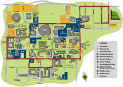
University of Tennessee Chattanooga Campus Map
Official campus map of University of Tennessee Chattanooga.
136 miles away
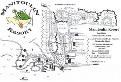
Manitoulin Resort Map
136 miles away

University of Tennessee Map
Campus map
136 miles away
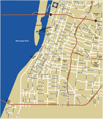
Downtown Memphis Map
136 miles away
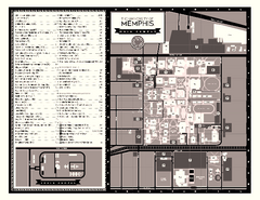
University of Memphis Map
Campus Map of the University of Memphis. All buildings shown.
137 miles away
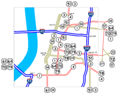
Downtown Memphis Map
Roads and freeways around Memphis.
137 miles away
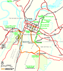
Chickamauga & Chattanooga National Military...
Official NPS map of Chickamauga & Chattanooga National Military Park in Georgia. All units of...
138 miles away
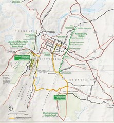
Chattanooga Guide Map
139 miles away
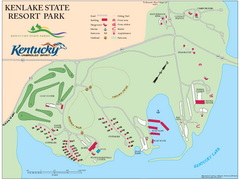
KenLake State Resort Park Map
Map of trails, facilities, and golf course for the KenLake State Resort Park located on the mid...
140 miles away
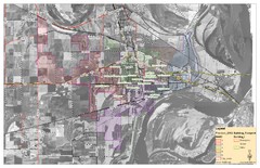
West Memphis City Map
City Map of West Memphis with ward boundaries
142 miles away
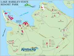
Lake Barkley State Resort Park Map
Map of the trails and facilities of Lake Barkley State Resort Park.
143 miles away
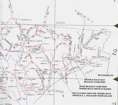
Trousdale County Muttonbluff Map
Pictured is a part of a map of Trousdale County containing the extreme northeast section. The...
148 miles away
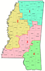
Mississippi Congressional Map
152 miles away
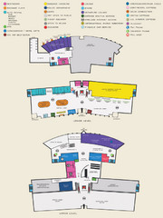
Arkansas International Airport Map
152 miles away
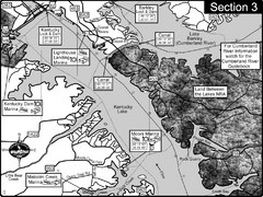
Kentucky Lake Tennesssee River-Land Between the...
This is the upper end of Kentucky Lake which is the Tennessee River. The map is designed for...
153 miles away

