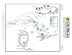
General Coffee State Park Map
Map of park with detail of trails and recreation zones
363 miles away
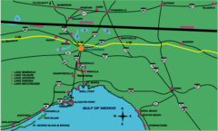
Tallahassee Freeway Map
Freeways and road leading to and from Tallahassee.
363 miles away
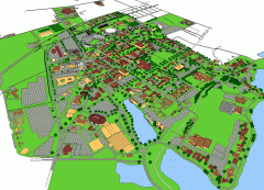
Louisiana State University Map
Louisiana State University Campus Map. All buildings shown.
363 miles away
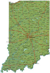
Detailed Indiana Road Map
363 miles away
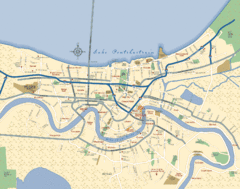
New Orleans Neighborhood Map
Overview map of city of New Orleans shows districts/neighborhoods and major streets.
363 miles away
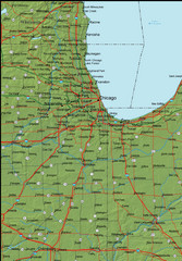
Detailed Indiana Area Road Map
363 miles away

New Orleans Magazine Street Map
Illustrated map by Michael A Hill for US Magazine - Lucky for shopping feature.
364 miles away
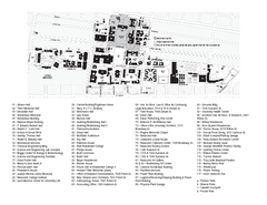
Tulane University Map
364 miles away

Looking for Lincoln Walking Tour, Springfield...
Looking for Lincoln walking tour map, Springfield, Illinois. Shows sites associated with President...
364 miles away
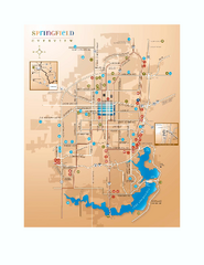
Springfield, Illinois Map
Tourist maps of Springfield, Illinois. Includes two maps: wider view of Springfield, and downtown...
364 miles away
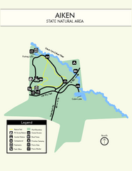
Aiken State Park Map
Small and simple state park map.
364 miles away
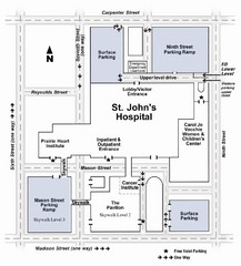
St. John's Hospital Visitor Map
St. John's Hospital Visitor Map includes all main buildings, names of streets and parking...
364 miles away
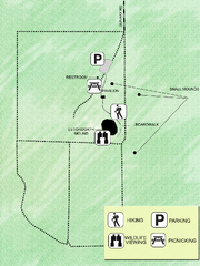
Letchworth-Love Mounds Map
Map of park with detail of trails and recreation zones
364 miles away
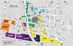
LSU Stadium and Parking Map
Guide to Louisiana State University Stadium and Parking
365 miles away
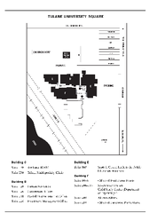
Uptown Square Map
365 miles away
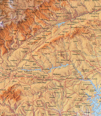
North Carolina Mountains Map
Location of the South, Brushy, and Blue Ridge Mountain ranges in Western North Carolina.
365 miles away
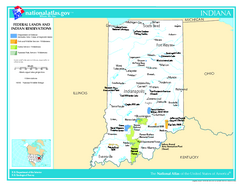
Indiana - Federal Lands and Indian Reservations...
The National Atlas of the United States of America, U.S. Geological Survey, 2003
366 miles away
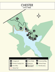
Chester State Park Map
Simple and clear state park map.
366 miles away

Indiana Road Map
366 miles away

Illinois State Fairgrounds Map
366 miles away
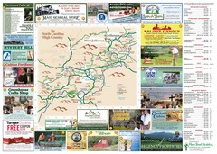
Ashe County Attractions Map
Ashe County Attractions
367 miles away
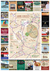
Ashe County Restaurant Map
Ashe County Restaurant Map
367 miles away
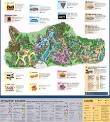
Paramount's Kings Island Map
367 miles away
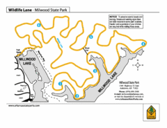
Millwood State Park Trail Map
Map of Millwood State Park showing the Wildlife Lane Trail.
369 miles away
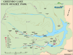
Greenbo Lake State Resort Park map
Detailed recreation map for Greenbo Lake State resort park in Kentucky
369 miles away
Grayson Highlands State Park Map
Clear and descriptive map of this beautiful state park.
370 miles away
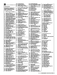
University of Illinois at Urbana-Champaign Map
Campus map of University of Illinois at Urbana-Champaign. All buildings shown.
370 miles away
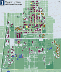
University of Illinois at Urbana-Champaign campus...
Map of the University of Illinois at Urbana-Champaign campus. Shows building names but not street...
370 miles away
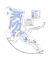
Gordonia-Alatamaha State Park Map
Map of park with detail of trails and recreation zones
370 miles away
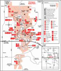
Kickapoo State Park, Illinois Site Map
370 miles away
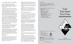
Lake Fort Smith State Park Map
Map of Lake Fort Smith State Park showing visitor center and park amenities.
371 miles away
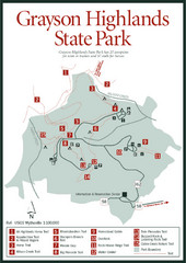
Grayson Highlands State Park Map
371 miles away
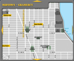
Gramercy Hotel Map
371 miles away
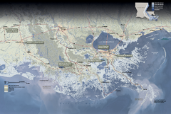
Jean Lafitte National Historical Park and...
Official NPS map of Jean Lafitte National Historical Park and Preserve in Louisiana. Map shows all...
372 miles away
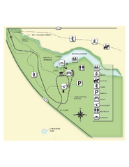
Edward Ball Wakulla Springs State Park Map
Map of park with detail of trails and recreation zones
372 miles away
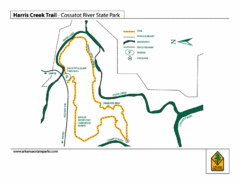
Harris Creek Trail - Cossatot River State Park Map
Harris Creek Trail Map
372 miles away
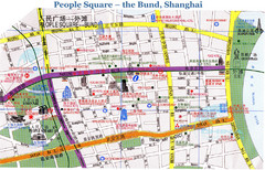
Bund Shanghai Tourist Map
373 miles away

Painted DEM of Menard Co. Illinois Map
Mosaic painted DEM of Menard Co. using Arc/Info 8.x; AML; Perl; Erdas Imagine on SUN Hardware (Unix...
374 miles away
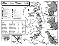
New River State Park map
Detailed recreation map for the New River State Park in North Carolina
374 miles away

