
Attractions in Alton, Illinois Map
Tourist map of Alton, Illinois. Museums, monuments, and other points of interest are shown.
316 miles away
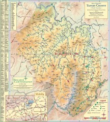
Yancey County Chamber of Commerce Map
Map of Yancey County, North Carolina. Shows all public roads, communities, hiking trails and picnic...
316 miles away
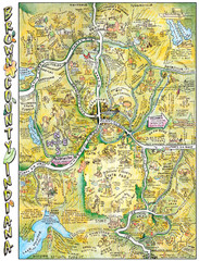
Brown County, Tennessee Tourist Map
316 miles away
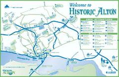
Historic Attractions in Alton, Illinois Map
Tourist map of historic attractions in Alton, Illinois. Shows museums, monuments, and lodging.
316 miles away
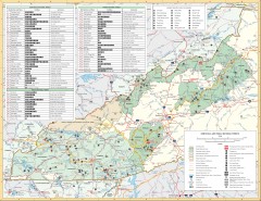
Pisgah National Forest and Nantahala National...
Pisgah National Forest and Nantahala National Forest recreation map. Contains list of all...
316 miles away
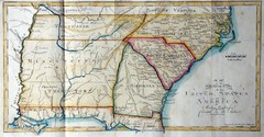
Southern Parts of the US Map
"This map was initially published in Morse's American Gazetteer in 1797 with Georgia...
318 miles away
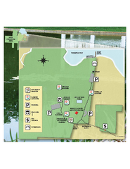
Eden Gardens State Park Map
Map of park with detail of gardens
318 miles away

Weldon Springs State Park, Illinois Site Map
319 miles away
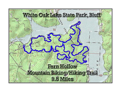
Fern Hollow Trail - White Oak Lake State Park...
Topographical Map of Fern Hollow Mountain Biking and Hiking Trail in White Oak Lake State Park.
319 miles away
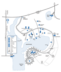
Seminole State Park Map
Map of park with detail of trails and recreation zones
319 miles away
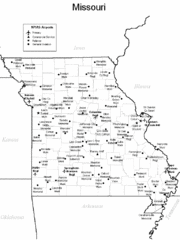
Missouri Airports Map
319 miles away
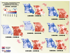
Voting Trends for President by Missouri County Map
319 miles away
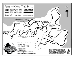
White Oak Lake State Park Trail Map
Trail Map for White Oak Lake State Park.
320 miles away
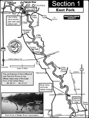
Columbus, IN White River East Fork Map
This is a page from the White River Guidebook. The map shows important information for boaters and...
320 miles away
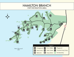
Hamilton Branch State Park Map
Simple state park map.
320 miles away
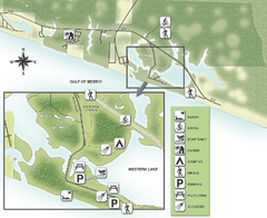
Grayton Beach State Park Map
Map of park with detail of trails and recreation zones
321 miles away

Fountain Lakes Trail Map
Aerial map of trails at Fountain Lakes Park, 145 acres
321 miles away
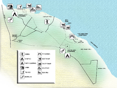
Three Rivers State Park Map
Map of park with detail of recreation zones
322 miles away
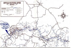
Buffalo National River Guide Map
323 miles away
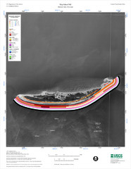
Ship Island Map
325 miles away
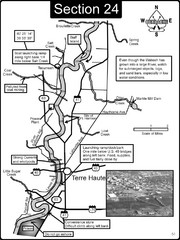
Terre Haute, IN Wabash River Map
This is a page from the Wabash River Guidebook. The map shows important information for boaters and...
325 miles away
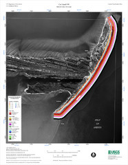
Cat Island Map
Cat Island NW Coastal Classification
325 miles away

Shelbyville Fish and Wildlife Area, Illinois Map
326 miles away
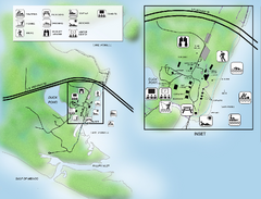
Camp Helen State Park Map
Map of park with detail of various recreation zones
327 miles away
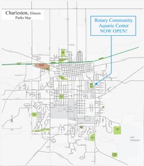
Charleston Town Map
327 miles away
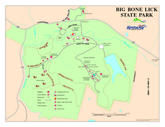
Big Bone Lick State Park Map
Map of trails and facilities for Big Bone Lick State Park.
327 miles away
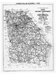
Georgia 1939 Road Map
State Road Map of Georgia in 1939
327 miles away
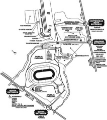
Bristol Dragway Map
Guide to campgrounds and parking at Bristol Dragway
327 miles away
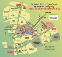
Bristol Motor Speedway Map
Guide to the campgrounds and parking at the Speedway
327 miles away
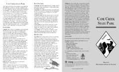
Cane Creek State Park Map
Cane Creek State Park Detail Map showing amenities, camp sites, and lake.
328 miles away
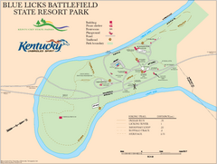
Blue Licks Battlefield State Resort Park Map
Map of Trails and Facilities in Blue Licks Battlefield State Resort Park.
328 miles away
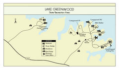
Lake Greenwood State Park Map
Clearly marked state park map on a beautiful waterfront.
329 miles away
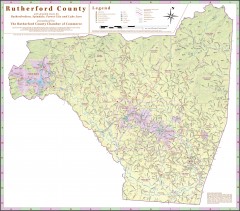
Tourist map of Rutherford County
Map of Rutherford County with detail panels for Rutherfordton, Spindale, Forest City, and Lake Lure.
329 miles away
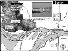
Grafton, IL Illinois River/Mississippi River/Pere...
This is the end of the Illinois River at the confluence with the Mississippi River. For boating...
329 miles away
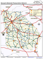
Georgia Transportation Map
329 miles away
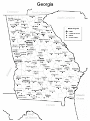
Georgia Tourist Map
329 miles away
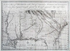
Georgia Map
Map of Georgia circa 1748. Includes Georgia and parts of the Carolinas, Florida and Louisiana.
329 miles away
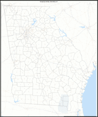
Georgia Zip Code Map
Check out this Zip code map and every other state and county zip code map zipcodeguy.com.
330 miles away
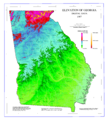
Map of Georgia Elevations
Digital elevation map of Georgia, U.S.
330 miles away


