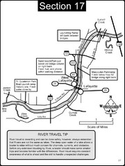
Lafayette, IN/West Lafayette, IN Wabash River Map
This is a page from the Wabash River Guidebook. The map shows important information for boaters and...
0 miles away
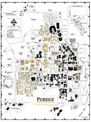
Purdue University - Main Campus Map
Campus map of Purdue University's Main Campus. All buildings shown.
less than 1 mile away

Wabash and Erie Canal Park Map
Trails at the Wabash and Erie Canal Park
16 miles away
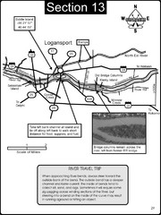
Logansport, IN Wabash River & Eel River Map
This is a page from the Wabash River Guidebook. The map shows important information for boaters and...
36 miles away
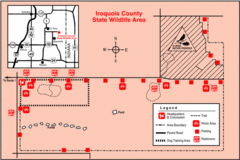
Iroquois County State Wildlife Area, Illinois...
48 miles away
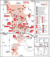
Kickapoo State Park, Illinois Site Map
49 miles away

Indianapolis Motor Speedway Map
56 miles away
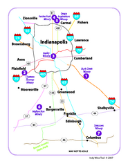
Indy Wine Trail Map
Map of the Indy Wine Trail of the Indianapolis area in Indiana. Shows wineries in the area.
56 miles away
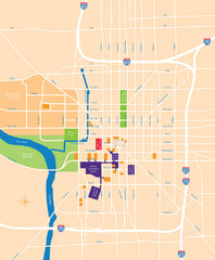
Indianapolis Center Map
Map of Indianapolis downtown center
58 miles away
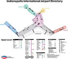
Indianapolis International Airport Terminal Map
Official map of Indianapolis International Airport. Shows all Upper Level Terminals.
59 miles away
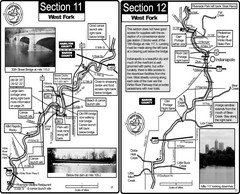
Indianapolis, IN White River West Fork Map
This is a page from the White River Guidebook. The map shows important information for boaters and...
60 miles away
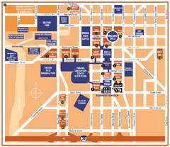
Downtown Indianapolis Map
60 miles away
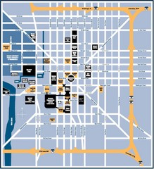
Indianapolis Tourist Map
60 miles away
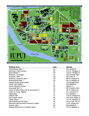
Indiana University Purdue University Indianapolis...
Campus Map of Indiana University Purdue University Indianapolis. All areas shown.
60 miles away
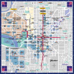
Downtown Indianapolis Map
This large map of downtown Indianapolis.
61 miles away
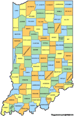
Indiana Counties Map
69 miles away
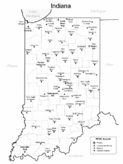
Indiana Airports Map
69 miles away
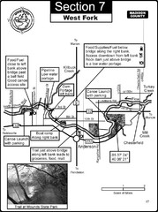
Anderson, IN & Mounds State Park Wabash River...
This is a page from the White River Guidebook. The map shows important information for boaters and...
69 miles away
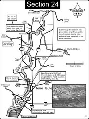
Terre Haute, IN Wabash River Map
This is a page from the Wabash River Guidebook. The map shows important information for boaters and...
71 miles away
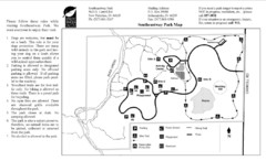
Southeastway Park Map
71 miles away
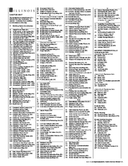
University of Illinois at Urbana-Champaign Map
Campus map of University of Illinois at Urbana-Champaign. All buildings shown.
73 miles away
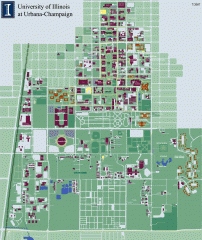
University of Illinois at Urbana-Champaign campus...
Map of the University of Illinois at Urbana-Champaign campus. Shows building names but not street...
74 miles away
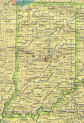
Indiana Map
75 miles away

Indiana Road Map
77 miles away
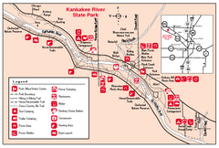
Kankakee River State Park, Illinois Site Map
78 miles away

Walnut Point State Park, Illinois Site Map
78 miles away
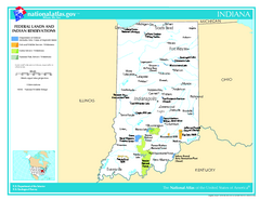
Indiana - Federal Lands and Indian Reservations...
The National Atlas of the United States of America, U.S. Geological Survey, 2003
80 miles away
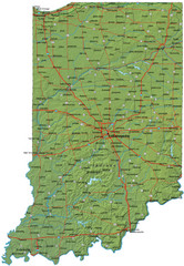
Detailed Indiana Road Map
80 miles away
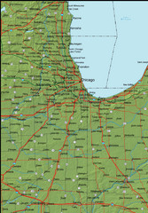
Detailed Indiana Area Road Map
81 miles away
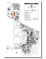
Ball State University Map
Ball State University Campus Map. All buildings shown.
81 miles away
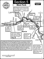
Muncie, IN White River West Fork Map
This is a page from the White River Guidebook. The map shows important information for boaters and...
82 miles away
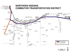
Northern Indiana Commuter Transportation District...
84 miles away
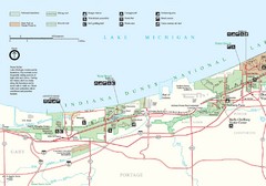
Indiana Dunes Park Map
Map of Indiana Dunes National Park. Includes all roads, trails, attractions and accommodations.
85 miles away
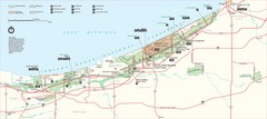
Indiana Dunes National Park Map
Indiana Dunes Park Visitors Map
86 miles away
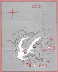
Lincoln Trail State Park, Illinois Site Map
86 miles away

Thorn Creek Trail Map
86 miles away
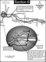
Markle, IN Wabash River rapids Map
This is a page from the Wabash River Guidebook. The map shows important information for boaters and...
87 miles away
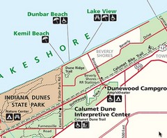
Kemil Beach, Indiana Tourist Map
87 miles away

