McArthur-Burney Falls Memorial State Park...
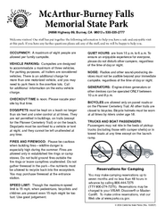
Map of park with detail of trails and recreation zones
72 miles away
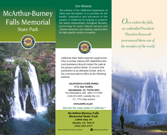
McArthur-Burney Falls Memorial State Park Map
Map of park with detail of trails and recreation zones
72 miles away
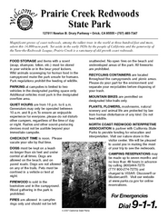
Prairie Creek Redwoods State Park Campground Map
Map of campground region of park with detail of trails and recreation zones
74 miles away
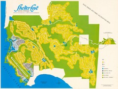
Shelter Cove Map
Shelter Cove Subdivision Map. Shows all streets, houses, commercial buildings, gas stations, and...
75 miles away
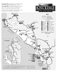
King Range National Conservation Area Trail Map
Trail map of the King Range National Conservation Area, home of the Lost Coast, California. Shows...
75 miles away
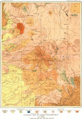
Lassen Peak District Geological Map
Geologic map of the Lassen Peak area in Lassen National Park, California. Shows sedimentary rock...
77 miles away
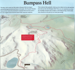
Bumpass Hell Trail Map
Trail map of route to Bumpass Hell, a major area of geo-thermal activity in Lassen National Park...
78 miles away
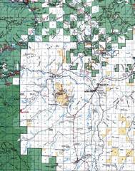
Clip07 Map
Visitor Maps of Klamath, central-western part of the park. Includes all roads, camp grounds...
79 miles away
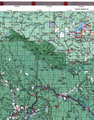
Klamath National Forest Map
Visitor Map of Klamath, western part of the park. Includes all roads, lakes, rivers and camping...
80 miles away
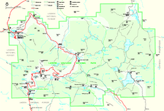
Lassen Volcanic National Park Official Park Map
Official NPS map of Lassen Volcanic National Park in California. Map shows all areas. Lassen...
81 miles away
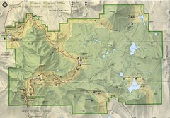
Lassen Volcanic National Park Map
83 miles away
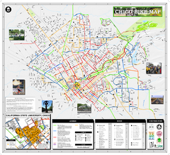
Chico Bike Map
Bicycle route map of Chico, California
89 miles away

Chico, California City Map
89 miles away
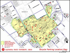
California State University, Chico Bike Parking...
Map that highlights all the available bike parking area and bike routes throughout the campus and...
90 miles away
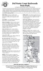
Del Norte Coast Redwoods State Park Campground Map
Map of park with detail of trails and recreation zones
90 miles away
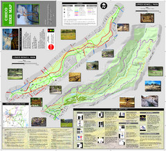
Upper and Lower Bidwell Park Bike Map
Bike map of Upper Bidwell Park and Lower Bidwell Park in Chico, California
90 miles away
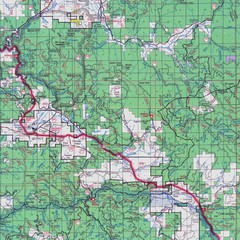
Lassen National Park Map
Forest Visitor Map showing locations of most camping and recreational areas in the eastern part of...
91 miles away
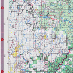
Lassen National Park Map
Visitor Map that shows most of Lassen National Forest with locations of camp grounds and...
93 miles away
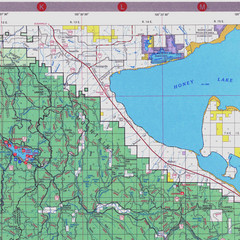
Lassen National Park Map
Forest Visitor Map of the farthest east of the park, shows all camping and recreational areas and...
94 miles away
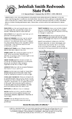
Jedediah Smith Redwoods State Park Campground Map
Map of campground region of park with detail of trails and recreation zones
94 miles away
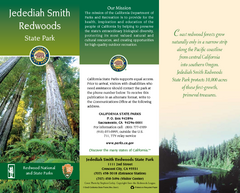
Jedediah Smith Redwoods State Park Map
Map of park with detail of trails and recreation zones
95 miles away
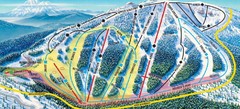
Mt. Ashland Ski Trail Map
Ski trail map of Mt. Ashland ski area near Ashland, Oregon
96 miles away
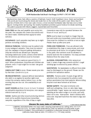
MacKerricher State Park Campground Map
Map of campground region of park with detail of trails and recreation zones
96 miles away
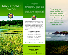
MacKerricher State Park Map
Map of park with detail of trails and recreation zones
96 miles away
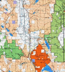
Modoc National Park Map
Visitor Map of Modoc National Park, eastern part. Includes all roads, lakes, camping and boating...
99 miles away
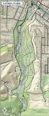
Lithia Park Trail Map
Trail map of Lithia Park in town of Ashland, Oregon. Adjacent to the Oregon Shakespeare Festival.
103 miles away
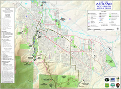
Ashland Trails Map
Trail map of Ashland, Oregon. Shows bicycle routes and public parks and trails.
103 miles away
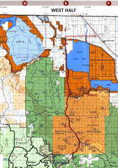
Modoc National Park Map
Visitor Map of Modoc National Park--Western Part. Includes the parameters of the Lava Beds...
104 miles away
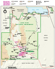
Lava Beds National Monument official park map
Official park map of Lava Beds National Monument. Shows trails, roads, cave entrances, and lava...
104 miles away
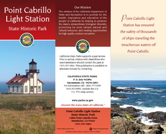
Point Cabrillo Light Station State Historic Park...
Map of park with detail of trails and recreation zones
105 miles away
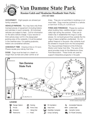
Russian Gulch State Park Campground Map
Map of campground region of park with detail of trails and recreation zones
105 miles away
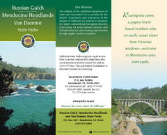
Mendocino Headlands State Parks Map
Map of parks with detail of trails and recreation zones
107 miles away
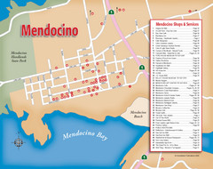
Mendocino Tourist Map
Tourist map of town of Mendocino, California. Shows shops and services.
107 miles away
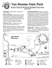
Van Damme State Park Campground Map
Map of campground region of park with detail of trails and recreation zones
108 miles away
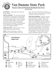
Van Damme State Park Campground Map
Map of campground region of park with detail of trails and recreation zones
108 miles away

Van Damme State Park Map
Park map of Van Damme State Park near Mendocino, California. Show Fern Valley Trail through...
108 miles away
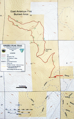
Grizzly Peak Trail Map
Topographic trail map of Grizzly Peak near Ashland, Oregon. Shows trails and distances. From...
109 miles away
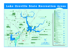
Lake Oroville State Recreation Area Map
Recreation overview map of Lake Oroville State Recreation Area near Oroville, California. Show all...
109 miles away
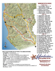
Mendocino Beer and Wine Tasting Map
Beer and wine tasting map of Mendocino county, California. Show breweries and wineries on the...
110 miles away

