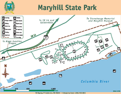
Maryhill State Park Map
Map of park with detail of trails and recreation zones
119 miles away
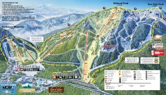
Mt. Hood Skibowl Ski Trail Map
Official ski trail map of ski area from the 2007-2008 season.
119 miles away
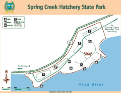
Spring Creek Hatchery State Park map
Map of park with detail of trails and recreation zones
122 miles away
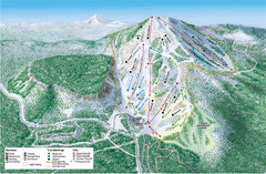
Hoodoo Mountain Ski Trail Map
Ski trail map of Hoodoo Mountain ski area.
124 miles away
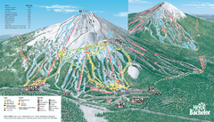
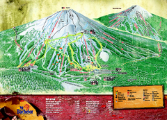
Mt. Bachelor Ski Trail map
Official ski trail map of Mount Bachelor ski area from the 2006-2007 season.
126 miles away
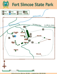
Fort Simcoe State Park Map
Map of park with detail of trails and recreation zones
126 miles away
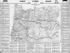
Oregon Military Map
Detailed guide to military forts, camps and roads on teh western Oregon coast
126 miles away
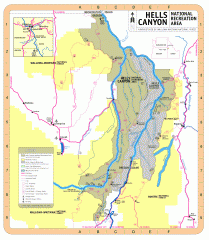
Hells Canyon National Recreation Area Map
Official Forest Service map of the Hells Canyon National Recreation Area. Shows roads, trails...
132 miles away
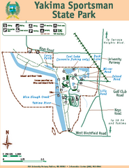
Yakima Sportsman State Park Map
Map of park with detail of trails and recreation zones
132 miles away

Yakima, Washington City Map
134 miles away
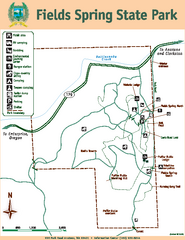
Fields Spring State Park Map
Map of park with detail of trails and recreation zones
140 miles away
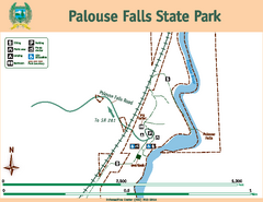
Palouse Falls State Park Map
Map of park with detail of trails and recreation zones
140 miles away
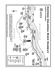
Historic Columbia River Highway Map
Official map from the US Forest Service. Shows the Corbett to Dodson stretch of Highway 30 with...
141 miles away
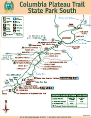
Columbia Plateau Trail State Park South Map
Map of park with detail of trails and recreation zones
144 miles away
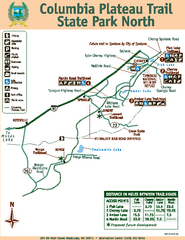
Columbia Plateau Trail State Park North Map
Map of park with detail of trails and recreation zones
144 miles away
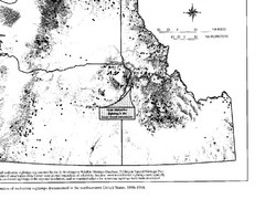
Map of Wolverine Sightings: 1886 -- 1998
144 miles away
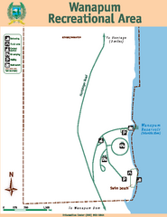
Wanapum Recreational Area Map
Map of park with detail of trails and recreation zones
147 miles away
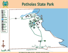
Potholes State Park Map
Map of park with detail of trails and recreation zones
149 miles away
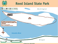
Reed Island State Park Map
Map of park with detail of trails and recreation zones
150 miles away
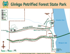
Ginkgo Petrified Forest State Park Map
Map of park with detail of trails and recreation zones
150 miles away

Steens Mountain Topo Map
Topography map of the east side of Steens mountain in Oregon.
154 miles away
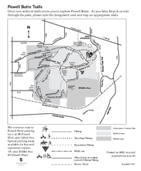
Powell Butte Nature Park Trail Map
Trail map of Powell Butte Nature Park. Shows over 9 miles of trails
157 miles away
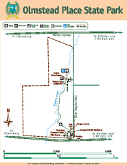
Olmstead Place State Park Map
Map of park with detail of trails and recreation zones
157 miles away
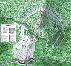
White Pass Ski Area Ski Trail Map
Trail map from White Pass Ski Area, which provides downhill, nordic, and terrain park skiing. It...
158 miles away

Happy Valley Oregon Road Map
158 miles away
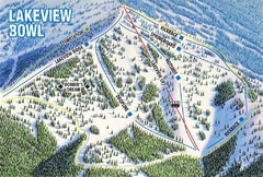
Brundage Mountain Resort Lakeview Bowl Ski Trail...
Trail map from Brundage Mountain Resort, which provides downhill and terrain park skiing. It has 5...
160 miles away
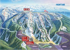
Brundage Mountain Resort Frontside Ski Trail Map
Trail map from Brundage Mountain Resort, which provides downhill and terrain park skiing. It has 5...
160 miles away
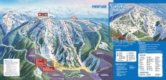
Brundage Ski Trail Map
Official ski trail map of Brundage ski area from the 2007-2008 season.
161 miles away

Maywood Park Oregon Road Map
161 miles away
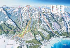
Tamarack Ski Trail Map
Official ski trail map of Tamarack ski area from the 2007-2008 season.
161 miles away
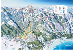
Tamarack Resort Ski Trail Map
Trail map from Tamarack Resort, which provides downhill, nordic, and terrain park skiing. It has 7...
162 miles away
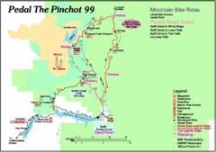
Pedal the Pinchot Bike Ride Route Map
Route Map for the Pedal the Pinchot 99 bike ride - annotated on a Park trail map.
164 miles away

Lake Oswego Oregon Road Map
164 miles away
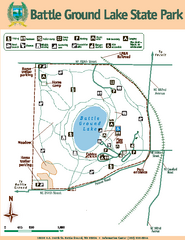
Battle Ground Lake State Park Map
Map of park with detail of trails and recreation zones
164 miles away
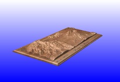
Mount St. Helens carved in wood by carvedmaps.com...
Mount St. Helens carved in wood by carvedmaps.com
164 miles away
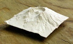
Mt. St. Helens 3D Print Map
This is a 3D-printed map of the cone, crater, and summit of Mt. St. Helens in Washington, USA. It...
165 miles away
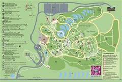
Oregon Garden Map
Map and key marking trails and more in this amazing garden.
166 miles away
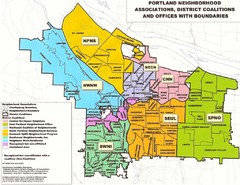
Portland Neighborhood Map
Shows neighborhood associations of Portland, Oregon.
166 miles away

