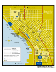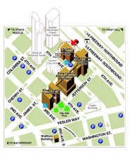
Municipal Court of Seattle Location Map
293 miles away

Seattle Shopping map for Lucky Magazine
Illustrated map of Seattle shopping locations illustrated by MapsIllustrated for Lucky Magazine(NYC)
293 miles away
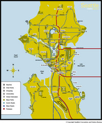
Seattle, Washington City Map
293 miles away
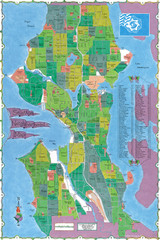
Seattle Neighborhood Map
293 miles away
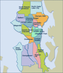
Seattle Neighborhood Map
293 miles away
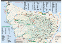
Olympic National Park wilderness campsite map
Official wilderness campsite map of Olympic National Park. Shows roads, trails, visitor...
293 miles away
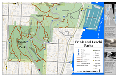
Frink Park and Leschi Park Map
293 miles away
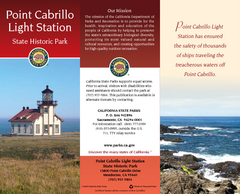
Point Cabrillo Light Station State Historic Park...
Map of park with detail of trails and recreation zones
293 miles away
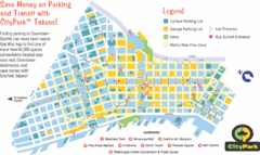
Seattle City Parks Map
293 miles away
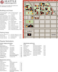
Seattle University Map
Campus Map
293 miles away
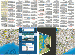
Downtown Seattle biotech map
Downtown Seattle map of biotechnology companies.
293 miles away
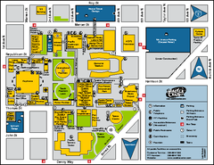
Seattle City Center, Washington Map
Map of points of interest in Seattle Center. KeyArena, the Space Needle, theaters, parking and...
293 miles away
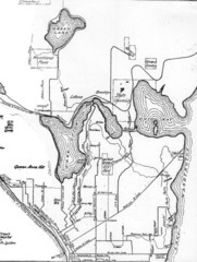
Seattle Historic Bike Paths Map
Historic bike paths in Seattle
293 miles away
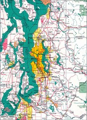
Seattle Region Map
293 miles away
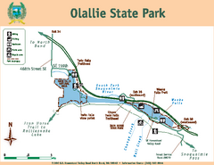
Olallie State Park Map
Map of park with detail of trails and recreation zones
294 miles away
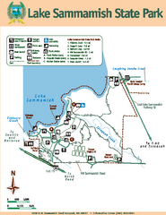
Lake Sammamish State Park Map
Map of island with detail of trails and recreation zones
294 miles away
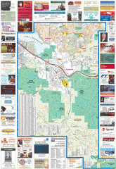
Issaquah tourist map
Issaquah, Washington tourist map. Shows all businesses.
294 miles away
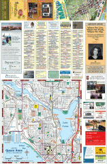
Queen Anne tourist map
Tourist map of Queen Anne, Washington. shows all businesses.
294 miles away
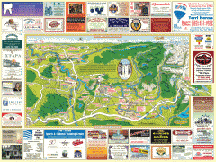
Snoqualmie tourist map
Snoqualmie, Washington tourist map. Shows all businesses.
294 miles away
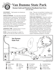
Russian Gulch State Park Campground Map
Map of campground region of park with detail of trails and recreation zones
294 miles away
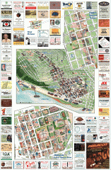
Queen Anne tourist map
Tourist map of Queen Anne, Washington. Shows all businesses.
294 miles away

Magnolia tourist map
Tourist map of Magnolia, Washington. Shows all businesses.
294 miles away
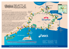
Seattle Marathon Map
Full Map of the Seattle Marathon with run details and location.
295 miles away
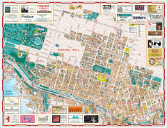
Capitol Hill tourist map
Tourist map of Capitol Hill in Seattle, Washington. Shows all businesses.
295 miles away
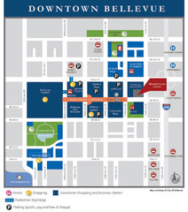
Downtown Bellevue Map
Driving Directions and Downtown Map
295 miles away
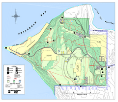
Discovery Park trail map
Trail and facility map of Discovery Park. Discovery Park is a 534 acre natural area park operated...
295 miles away

3-D Panoramic Map of the Puget Sound
A 3D panoramic map of a view from a private residence over Puget Sound toward the Olympic mountains.
295 miles away
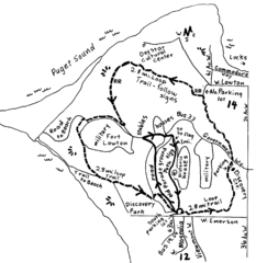
Discovery Park Walking Map Seattle Map
You can walk the Historic Parade Grounds in Fort Lawton (1.5 miles) and/or the 2.8 mile Trail Loop...
295 miles away
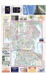
Bellevue tourist map
Tourist map of Bellevue, Washington. Shows all businesses.
295 miles away
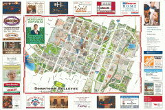
Tourist map of Downtown Bellevue
Tourist map of Downtown Bellevue, Washington. Shows all businesses.
295 miles away
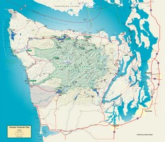
Olympic National Park and Peninsula Map
Guide to the Olympic National Park and surrounding region
295 miles away

Washington Park Arboretum Trail Map
Trail map of Washington Park Arboretum in Seattle.
295 miles away
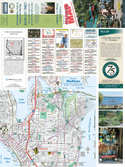
Greater Madison tourist map
Tourist map of Greater Madison, Washington. Shows all businesses.
295 miles away
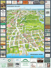
Madison Park tourist map
Tourist map of Madison Park, Washington. Shows all businesses.
295 miles away
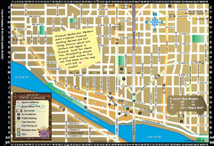
Fremont Walking Tour Map
Walking tour map of Fremont Washington in city of Seattle. Center of the known universe. Shows...
296 miles away
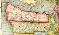
Clallam and Jefferson Counties Washington, 1909...
296 miles away
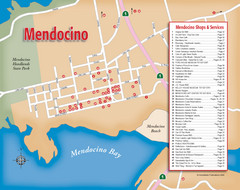
Mendocino Tourist Map
Tourist map of town of Mendocino, California. Shows shops and services.
296 miles away
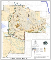
Snoqualmie Trail Map
Shows both soft surface and paved trails for biking, running/hiking/wailking, and horseback riding
296 miles away
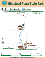
Olmstead Place State Park Map
Map of park with detail of trails and recreation zones
296 miles away

