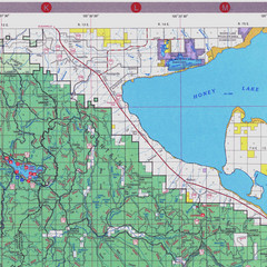
Lassen National Park Map
Forest Visitor Map of the farthest east of the park, shows all camping and recreational areas and...
280 miles away

Tourist map of Downtown Des Moines, Washington
Tourist map of Downtown Des Moines, Washington. Shows all businesses.
280 miles away

Des Moines Washington tourist map
Tourist map of Des Moines, Washington, including Kent and SeaTac airport.
280 miles away
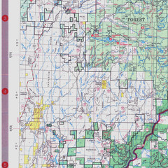
Lassen National Park Map
Visitor Map that shows most of Lassen National Forest with locations of camp grounds and...
280 miles away
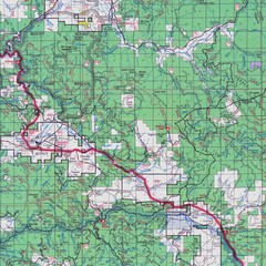
Lassen National Park Map
Forest Visitor Map showing locations of most camping and recreational areas in the eastern part of...
280 miles away
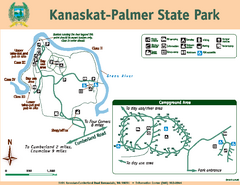
Kanaskat-Palmer State Park Map
Map of park with detail of trails and recreation zones
281 miles away
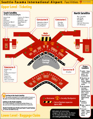
SeaTac Airport Map
283 miles away
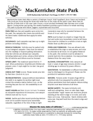
MacKerricher State Park Campground Map
Map of campground region of park with detail of trails and recreation zones
284 miles away
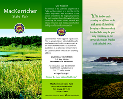
MacKerricher State Park Map
Map of park with detail of trails and recreation zones
284 miles away
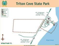
Triton Cove State Park Map
Map of park with detail of trails and recreation zones
285 miles away
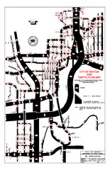
Renton WA Traffic Flow Map
City of Renton, WA traffic flow map
286 miles away
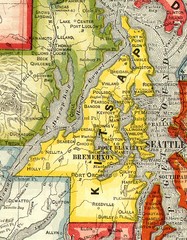
Kitsap County Washington, 1909 Map
286 miles away
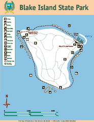
Blake Island State Park Map
Map of park with detail of trails and recreation zones
286 miles away
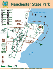
Manchester State Park Map
Map of park with detail of trails and recreation zones
288 miles away
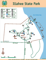
Illahee State Park Map
Map of park with detail of trails and recreation zones
289 miles away
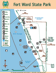
Fort Ward State Park Map
Map of park with detail of trails and recreation zones
289 miles away
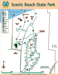
Scenic Beach State Park Map
Map of park with detail of trails and recreation zones
289 miles away
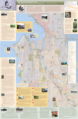
Duwamish River Community Map
This is a printed map, 32" X 40", created for the Duwamish River Cleanup Coalition in...
290 miles away
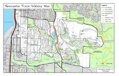
Newcastle Trails Trail Map
Trail map of existing and proposed trails in Newcastle, WA
290 miles away
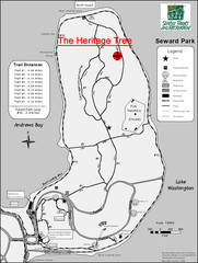
Seward Park Trails Map
Map of the trails in Seward Park, a 300-acre park on a peninsula in the south Seattle, WA area.
290 miles away

Steens Mountain Topo Map
Topography map of the east side of Steens mountain in Oregon.
290 miles away
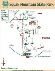
Squak Mountain State Park Map
Map of park with detail of trails and recreation zones
291 miles away
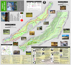
Upper and Lower Bidwell Park Bike Map
Bike map of Upper Bidwell Park and Lower Bidwell Park in Chico, California
291 miles away
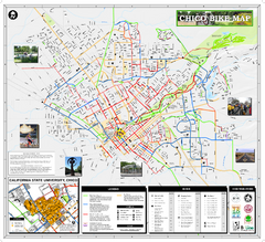
Chico Bike Map
Bicycle route map of Chico, California
291 miles away

Chico, California City Map
291 miles away
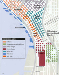
Seattle Neighborhoods Map
Map outlines several neighborhoods in Seattle, Wahsington
291 miles away
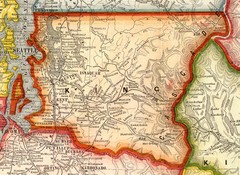
King County Washington, 1909 Map
291 miles away
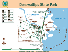
Dosewallips State Park Map
Map of park with detail of trails and recreation zones
291 miles away
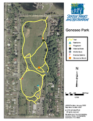
Genesee Park Trail Map
Trail map of Genesee Park in Mt Baker, Seattle, WA
291 miles away
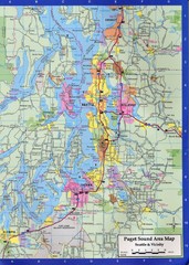
Seattle, Washington City Map
291 miles away
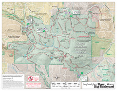
Cougar Mountain Park Trail Map
Trail map of Cougar Mountain Regional Wildland Park, part of the "Issaquah Alps"
291 miles away
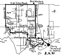
Bainbridge Walking Map
From Seattle Ferry Terminal, take the Bainbridge Ferry to Winslow. The walk is 4 miles with...
292 miles away
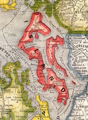
Island County Washington, 1909 Map
292 miles away
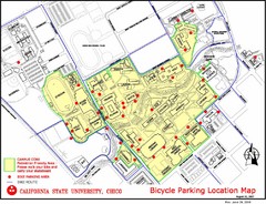
California State University, Chico Bike Parking...
Map that highlights all the available bike parking area and bike routes throughout the campus and...
292 miles away
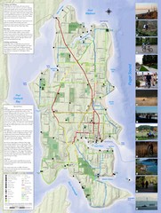
Bainbridge Island Hiking and Biking Map
Shows trails and bike routes on Bainbridge Island, Washington in the Puget Sound. Also shows...
292 miles away
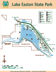
Lake Easton State Park Map
Map of island with detail of trails and recreation zones
292 miles away
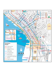
Downtown Seattle Bikeways Map
Map of bike paths, bike lanes, public transportation and points of interest in Seattle, Washington.
292 miles away
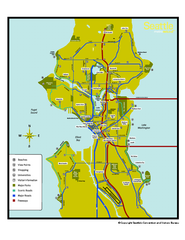
Neighborhoods of Seattle, Washington Map
Tourist map of Seattle, Washington, showing neighborhoods, parks, and scenic drives.
293 miles away
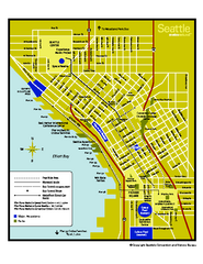
Downtown Seattle, Washington Map
Tourist map of downtown Seattle, Washington. Shows locations of Space Needle, Experience Music...
293 miles away
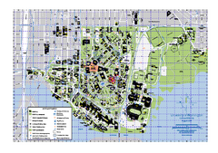
University of Washington - Seattle Campus Map
Campus Map of the University of Washington - Seattle Campus. All buildings shown.
293 miles away

