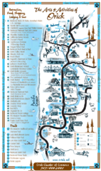
Orick Redwood National Park Map
158 miles away

BANKS-VERNONIA STATE TRAIL Map
160 miles away
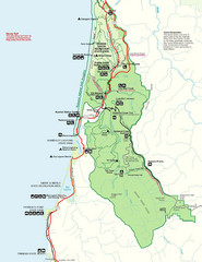
Prairie Crek State Park Map
161 miles away
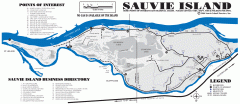
Sauvie Island tourist map
Tourist map of Sauvie Island in Oregon. Shows all businesses and points of interest.
163 miles away
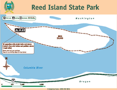
Reed Island State Park Map
Map of park with detail of trails and recreation zones
165 miles away

Redwood National Park Map
166 miles away
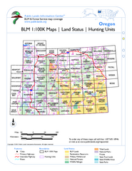
Oregon Hunting Unit/BLM Map Index
This map shows which BLM land ownership maps cover all hunting units in Oregon. Color indicates...
166 miles away
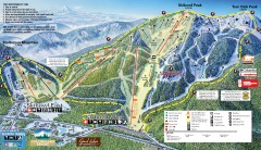
Mt. Hood Skibowl Ski Trail Map
Official ski trail map of ski area from the 2007-2008 season.
168 miles away

Mt. Hood SkiBowl Ski Trail Map
Trail map from Mt. Hood SkiBowl.
169 miles away
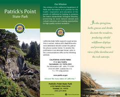
Patrick's Point State Park Map
Map of park with detail of trails and recreation zones
169 miles away
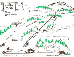
Summit Ski Area Ski Trail Map
Trail map from Summit Ski Area.
169 miles away
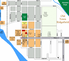
Guide Map of Old Town Ridgefield
Guide Map of Old Town Ridgefield, Washington
170 miles away
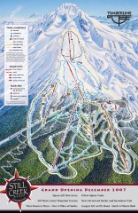
Timberline Ski Trail Map
Official ski trail map of Timberline Lodge ski area from the 2007-2008 season.
172 miles away
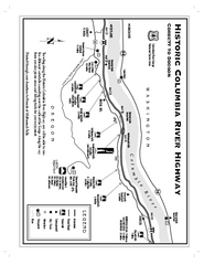
Historic Columbia River Highway Map
Official map from the US Forest Service. Shows the Corbett to Dodson stretch of Highway 30 with...
172 miles away

Timberline Ski Area Ski Trail Map
Trail map from Timberline Ski Area.
172 miles away
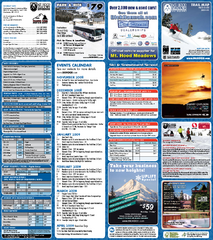
Mt. Hood Meadows Ski Resort Ski Trail Map
Trail map from Mt. Hood Meadows Ski Resort.
173 miles away
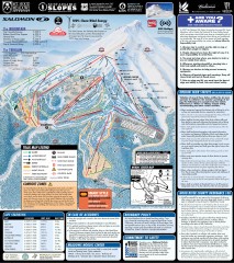
Mt. Hood Meadows Ski Trail Map
Official ski trail map of Mt. Hood Meadows ski area from the 2007-2008 season.
174 miles away
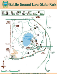
Battle Ground Lake State Park Map
Map of park with detail of trails and recreation zones
175 miles away
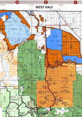
Modoc National Park Map
Visitor Map of Modoc National Park--Western Part. Includes the parameters of the Lava Beds...
176 miles away
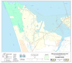
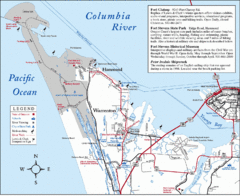
Warrenton Oregon Road Map
180 miles away
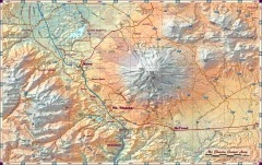
Mt. Shasta Scenic Area map
Great map of the Mt. Shasta region. Shows roads (including 4WD), mountains, lakes, and hiking...
180 miles away
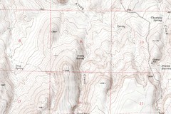
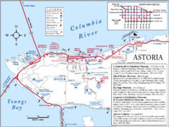
Astoria Oregon Map
A detailed topographic map of Astoria, Oregon and the Columbia River.
181 miles away
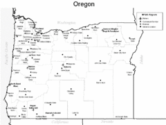
Oregon Airport Map
182 miles away
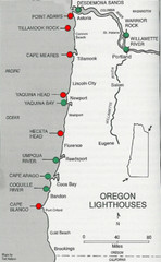
Lighthouses of the Oregon Coast Map
lighthouses (active, inactive, and destroyed) on the coast of Oregon (and the Columbia River)
183 miles away
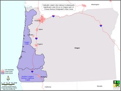
Oregon Coho Salmon Map
Shows federally listed coho salmon evolutionarily significant units in Washington state.
183 miles away
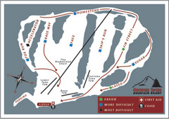
Cooper Spur Ski Area Ski Trail Map
Trail map from Cooper Spur Ski Area.
184 miles away
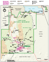
Lava Beds National Monument official park map
Official park map of Lava Beds National Monument. Shows trails, roads, cave entrances, and lava...
184 miles away
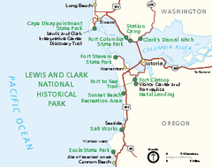
Lewis & Clark National Historic Trail...
Official NPS map of Lewis & Clark National Historic Trail in Oregon-Washington. Shows all areas...
185 miles away
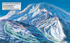
Mt. Shasta Ski Park Ski Trail Map
Official ski trail map of Mount Shasta Ski Park ski area
185 miles away
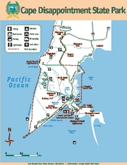
Cape Dissapointment State Park Map
Map of park with detail of trails and recreation zones
187 miles away
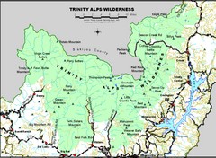
Trinity Alps Wilderness Map
Overview map of the Trinity Alps Wilderness near Weaverville, CA
188 miles away
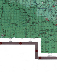
Klamath National Forest Map
Visitor Map of Klamath, eastern part of the forest, includes all roads, camp grounds, creeks, and...
189 miles away
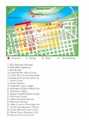
Old Town, Eureka, California Map
Tourist map of the Old Town area of Eureka, California. Shows various attractions including murals...
192 miles away
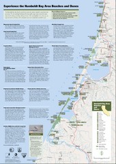
Humboldt Bay Area Beaches and Dunes Map
Humboldt Bay Beaches & Dunes Map & Guide
192 miles away
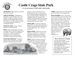
Castle Crags State Park Map
Map of park with detail of trails and recreation zones
192 miles away
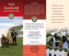
Fort Humboldt State Historic Park Map
Map of park with detail of trails and recreation zones
194 miles away

