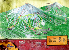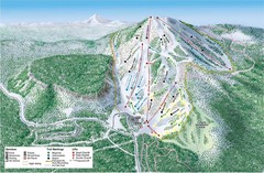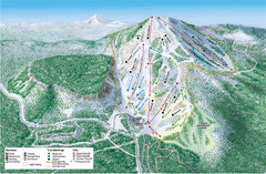
Hoodoo Mountain Ski Trail Map
Ski trail map of Hoodoo Mountain ski area.
128 miles away
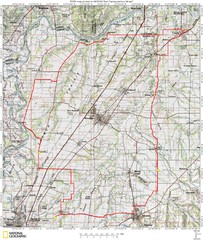
Spring Century Bike Route Map
Oregon Spring Century Ride
130 miles away
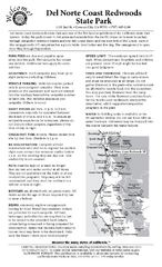
Del Norte Coast Redwoods State Park Campground Map
Map of park with detail of trails and recreation zones
131 miles away
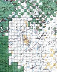
Clip07 Map
Visitor Maps of Klamath, central-western part of the park. Includes all roads, camp grounds...
132 miles away
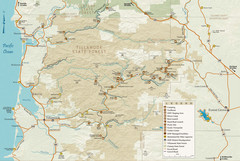
Tillamook State Forest Map
Recreation map of Tillamook State Forest. Over 60 miles of non-motorized trails and 150 miles of...
141 miles away
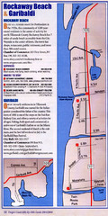
Rockaway Beach Map
141 miles away
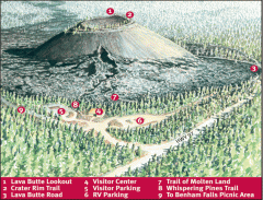
Newberry National Volcanic Monument - Lava Lands...
Map of Lava Butte which rises 500 feet above the visitor center. This cinder cone erupted 7,000...
143 miles away

King City Oregon Road Map
143 miles away
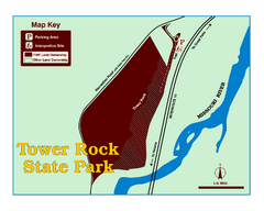
Tower Rock State Park Map
Tower Rock State Park is one of Montana's newest state parks. The 400-foot high igneous rock...
146 miles away

Tigard Oregon Road Map
146 miles away
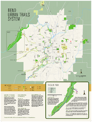
Bend urban trails system Map
The Bend Urban Trail System currently includes approximately 48 developed miles of trails which...
147 miles away
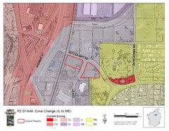
Bend, Oregon Zoning Map
Map of the zoning area changes in Bend, Oregon. Includes color-coded zoning areas.
147 miles away

Lake Oswego Oregon Road Map
148 miles away
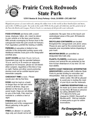
Prairie Creek Redwoods State Park Campground Map
Map of campground region of park with detail of trails and recreation zones
150 miles away
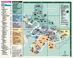
Oregon Zoo Map 2009
152 miles away

Happy Valley Oregon Road Map
153 miles away

BTS Route Map
Map of BTS bus routes throughout Klamath Falls
153 miles away
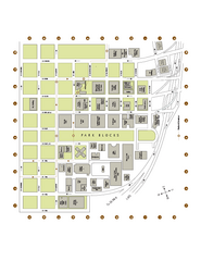
Portland State University Map
Campus Map of Portland State University. All buildings shown.
153 miles away
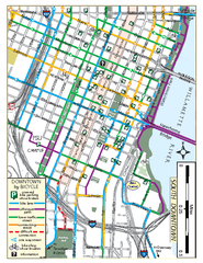
South Downtown Portland Bike Map
Biking map of southern downtown Portland, Oregon. Shows bike paths, bike parking, and bike shops.
153 miles away
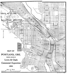
Portland, Oregon Map
Map of Portland, Oregon during centennial exposition of the Lewis & Clark Exploration...
153 miles away
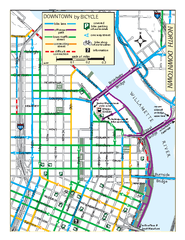
North Downtown Portland Bike Parking Map
Biking map of northern downtown Portland, Oregon. Shows bike paths, parking, and stores.
153 miles away
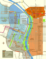
Central Portland, Oregon Map
Tourist map of Portland, Oregon. Shows museums, sports arenas, parks, and public transportation.
154 miles away
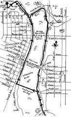
Portland Oregon downtown walk Map
Walk from the Amtrak Station to the Oregon Museum of Science and Industry. 4 miles round trip...
154 miles away
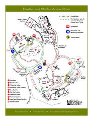
Portland Japanese Garden Map
So Far My favorite Japanese Garden
154 miles away
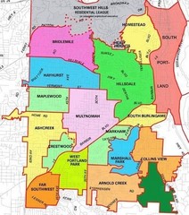
Portland, Oregon Neighborhood Map
154 miles away
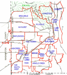
Portland, Oregon Neighborhood Map
154 miles away
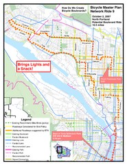
Portland, Oregon Bike Map
154 miles away
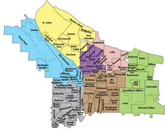
Portland, Oregon Neighborhood Map
154 miles away
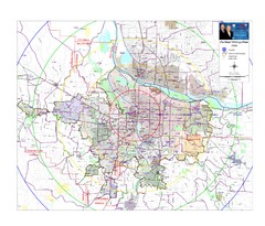
Portland, Oregon Tourist Map
154 miles away
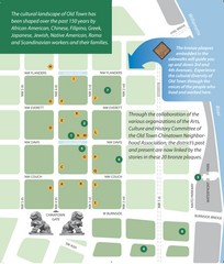
Old Town-China Town Map
Portland's oldest neighborhoods and history are easily seen in Old Town-China Town.
154 miles away
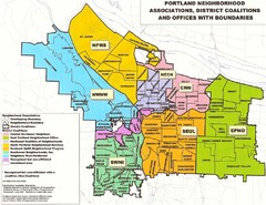
Portland Neighborhood Map
Shows neighborhood associations of Portland, Oregon.
154 miles away
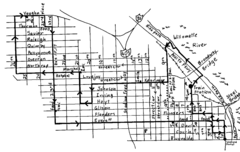
Pearl District Walking Map, Portland Oregon Map
Walk through the Pearl District, along the Willamette River and up to 23rd Street. Detour to the...
154 miles away
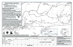
Forest Park Mountain Biking Map
Forest Park now includes over 5,100 wooded acres making it the largest, forested natural area...
154 miles away
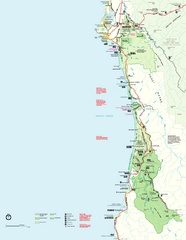
Redwood National Park Map
Official NPS map of Redwood National Park, California. Also shows Jedediah Smith Redwoods State...
155 miles away
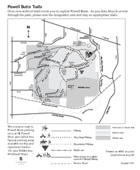
Powell Butte Nature Park Trail Map
Trail map of Powell Butte Nature Park. Shows over 9 miles of trails
156 miles away
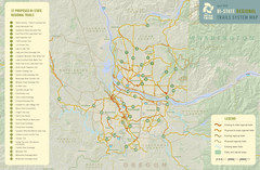
Bi-State Regional Trail System Plan Map
Shows plan for developing 37 Bi-State Regional Trails
157 miles away

Maywood Park Oregon Road Map
158 miles away

