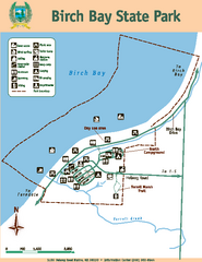
Birch Bay State Park Map
Map of park with detail of trails and recreation zones
374 miles away
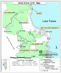
West Shore Lake Tahoe Off-highway Vehicle Map
Off-highway vehicle map of the West Shore of Lake Tahoe. Roads open to motorcycles, ATVs, and 4x4s...
374 miles away

Petaluma Adobe State Historic Park Map
Map of park with detail of trails and recreation zones
375 miles away
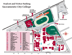
Sacramento City College Campus Map
Sacramento City Campus Map. All buildings shown.
375 miles away
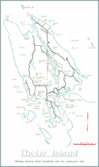
Thetis Island Map
Thetis Island map showing roads, properties, and the community trail.
376 miles away
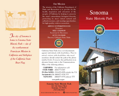
Sonoma State Historic Park Map
Map of park with detail of trails and recreation zones
376 miles away
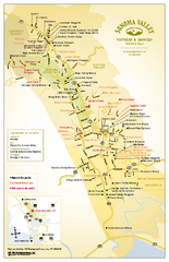
Sonoma Valley Winery Map
High quality map of Sonoma Valley wineries from the vinters and growers. Shows all key roads and...
376 miles away
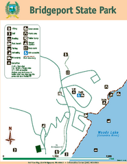
Bridgeport State Park Map
Map of park with detail of trails and recreation zones
376 miles away
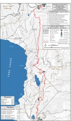
Tahoe Rim Trail: Tahoe Meadows to Spooner Summit...
Topographic hiking map of the Tahoe Meadows-Spooner Summit leg of the Tahoe Rim Trail. Shows bike...
376 miles away
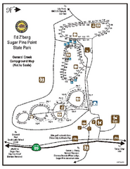
Sugar Pine Point State Park Campground Map
Map of campground region of park with detail of trails and recreation zones
377 miles away
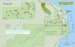
Sugar Pine Point State Park North Map
Map of northern region of park with detail of trails and recreation zones
377 miles away

Digital Elevation Model Satellite Tahoe Map
Digital Elevation Models
377 miles away
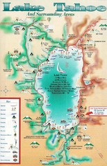
Lake Tahoe and nearby activities Map
Lake Tahoe and nearby resorts and activities
377 miles away
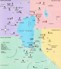
Lake Tahoe Area, California Map
Recreation map of Lake Tahoe, California. Points of interest shown include golfing, skiing, and...
377 miles away
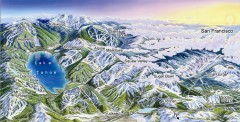
Lake Tahoe Ski Resort map
Winter map of Lake Tahoe showing relative position of all ski resorts. South-facing view. Created...
377 miles away
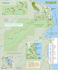
Sugar Pine Point State Park Map
Map of park with detail of trails and recreation zones
377 miles away

Sugar Pine Point State Park South Map
Map of southern region of park with detail of trails and recreation zones
377 miles away
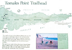
Tomales Point Trail Map
Map of the trail to Tomales Point in Point Reyes National Seashore, California. Also shows trail...
377 miles away
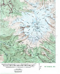
Mt. Baker Topo Map
Topo map of Mt. Baker, Washington, elevation 10,778ft.
377 miles away
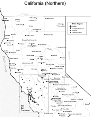
Northern California Airports Map
378 miles away
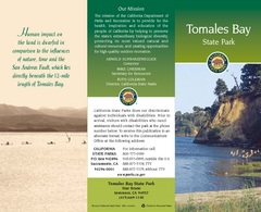
Tomales Bay State Park Map
Map of park with detail of trails and recreation zones
379 miles away
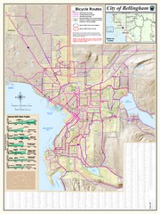
Bellingham, Washington City Map
380 miles away
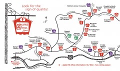
Apple Hill tourist map
Map of Apple Hill growers in Camino, California. Shows vineyards and orchards.
381 miles away
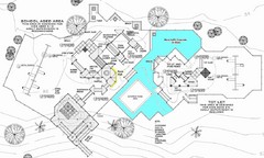
Lynden City Park Map
381 miles away
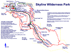
Skyline Wilderness Park Map
Trail map of Skyline Wilderness Park in Napa, California
381 miles away
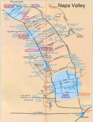
Napa Valley Tourist map
Tourist map of Napa Valley in California, showing wineries and museums in the area.
382 miles away
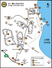
D.L. Bliss State Park Campground Map
Map of park with detail of trails and recreation zones
382 miles away
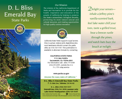
D.L. Bliss State Park Map
Map of park with detail of trails and recreation zones
382 miles away

Carson River Aquatic Trail Map
382 miles away
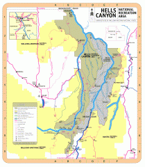
Hells Canyon National Recreation Area Map
Official Forest Service map of the Hells Canyon National Recreation Area. Shows roads, trails...
383 miles away
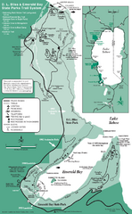
Emerald Bay State Park and DL Bliss State Park...
Trail map of Emerald Bay State Park and DL Bliss State Park on the shores of Lake Tahoe, California
383 miles away
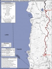
Tahoe Rim Trail: Spooner Summit to Kingsbury...
Topographic hiking map of the Spooner Summit-Kingsbury North leg of the Tahoe Rim Trail. Bike and...
383 miles away
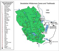
Desolation Wilderness Permits Zone Map
Zone and trailhead map of the Desolation Wilderness near Lake Tahoe, California. Use to figure out...
383 miles away
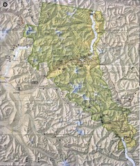
North Cascades National Park Physical Map
National Park
384 miles away
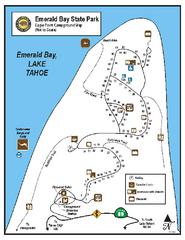
Emerald Bay State Park Campground Map
Map of park with detail of trails and recreation zones
384 miles away
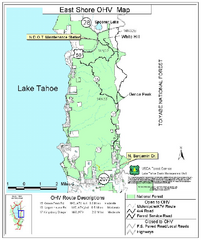
East Shore Lake Tahoe Off-highway Vehicle Map
Off-highway vehicle map of the East Shore of Lake Tahoe, California. Shows roads open to...
384 miles away
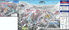
Mt. Baker Ski Trail Map
Official ski trail map of Mount Baker ski area from the 2007-2008 season.
384 miles away
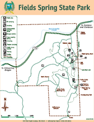
Fields Spring State Park Map
Map of park with detail of trails and recreation zones
384 miles away
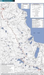
Tahoe Rim Trail: Echo Lake to Barker Pass Map
Topographic hiking map of the Echo Lake-Barker Pass leg of the Tahoe Rim Trail. Shows pedestrian...
385 miles away
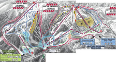
Mt. Baker Ski Area Ski Trail Map
Trail map from Mt. Baker Ski Area, which provides terrain park skiing. It has 10 lifts servicing 38...
385 miles away

