
Reno, Nevada City Map
359 miles away
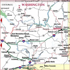
Eastern Washington Road Map
360 miles away
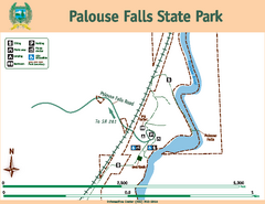
Palouse Falls State Park Map
Map of park with detail of trails and recreation zones
360 miles away
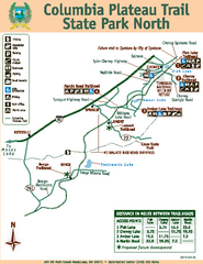
Columbia Plateau Trail State Park North Map
Map of park with detail of trails and recreation zones
360 miles away
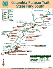
Columbia Plateau Trail State Park South Map
Map of park with detail of trails and recreation zones
360 miles away
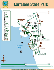
Larrabee State Park Map
Map of island with detail of trails and recreation zones
360 miles away
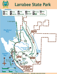
Larrabee State Park Map
Map of island with detail of trails and recreation zones
361 miles away

Downtown Reno, Nevada Map
Tourist map of Reno, Nevada. Event and convention centers, visitor's center, parks, and other...
361 miles away
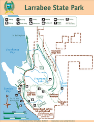
Larrabee State Park Map
Park map of Larrabee State Park, Washington.
361 miles away

Greater Lake Berryessa Region Tourist Map
Tourist map of the Lake Berryessa region in Napa, California
361 miles away
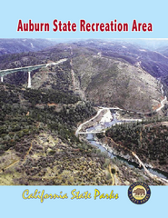
Auburn State Recreation Area Map
Map of park with detail of of trails and recreation zones
361 miles away
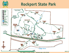
Rockport State Park Map
Map of park with detail of trails and recreation zones
361 miles away
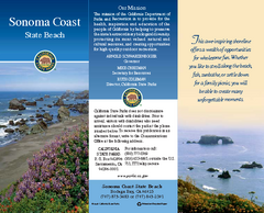
Sonoma Coast State Beach Map
Map of beach and park with detail of trails and recreation zones
362 miles away
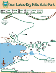
Sun Lakes-Dry Falls State Park Map
Map of park with detail of trails and recreation zones
362 miles away
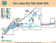
Sun Lakes-Dry Falls State Park Map
Map of park with detail of trails and recreation zones
363 miles away
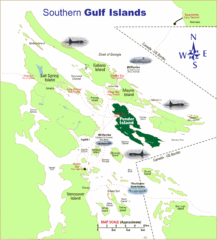
Southern Gulf Islands Map
Map of the region. Shows ferry routes.
363 miles away
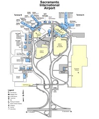
Sacramento International Airport Map
363 miles away
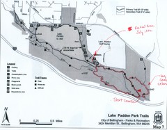
Lake Padden Park Trails Map
Course Elevation Map noted in handwriting on map. Festival location noted as well.
364 miles away
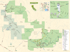
Sugarloaf Ridge State Park Map
Trail map of Sugarloaf Ridge State Park
364 miles away
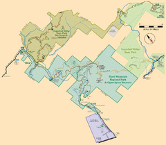
Hood Mountain Regional Park Map and Sugarloaf...
Park map of Hood Mountain Regional Park and Open Space Preserve and Sugarloaf Ridge State Park in...
365 miles away
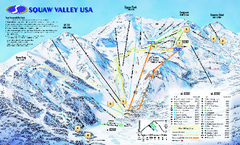
Squaw Valley USA Trail Map
Trail map of Squaw Valley ski area in Lake Tahoe, California
365 miles away
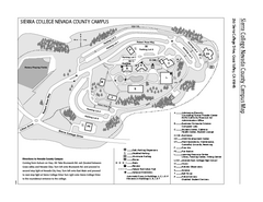
Sierra College Campus Map
Sierra College Campus Map. All buildings shown.
365 miles away

Granite Chief Wilderness Map
Trail map of Granite Chief Wilderness in Lake Tahoe region. Shows trails (inlcuding Pacific Crest...
365 miles away
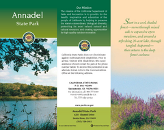
Annadel State Park Map
Map of park with detail of trails and recreation zones
365 miles away
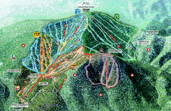
Northstar Ski Trail Map
Official ski trail map of Northstar-at-Tahoe ski area from the 2007-2008 season.
365 miles away
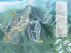
Northstar-at-Tahoe Ski Trail Map
Official trail map of Northstar-at-Tahoe ski area from the 2009-2010 season
365 miles away

Sebastopol Map
Map of Sebastopol and surrounding towns.
365 miles away
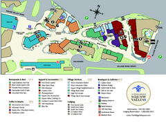
Squaw Valley Base Village Map
Village map of base of Squaw Valley Ski Resort, Lake Tahoe, California. Shows all restaurants...
365 miles away
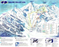
Squaw Valley Ski Trail Map
Scan of ski trail map of Squaw Valley ski area from the 2000-2001 season.
365 miles away
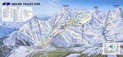
Squaw Valley USA Ski Trail Map
Trail map from Squaw Valley USA, which provides downhill, night, nordic, and terrain park skiing...
365 miles away
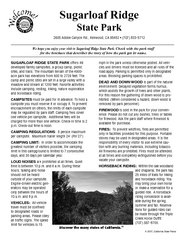
Sugarloaf Ridge State Park Campground Map
Map of park with detail of trails and recreation zones
366 miles away
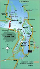
British Columbia, Canada Tourist Map
366 miles away
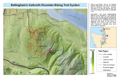
Bellingham Galbraith Mountain Biking Trail Map
Mountain biking trail map of Whatcom Falls Park near Bellingham, WA
366 miles away
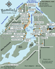
Bamfield Tourist Map
366 miles away
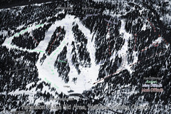
Ferguson Ridge Ski Trail Map
Trail map from Ferguson Ridge.
367 miles away
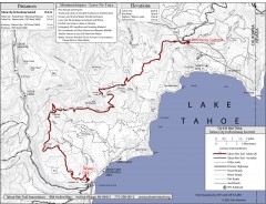
Tahoe Rim Trail: Tahoe City to Brockway Summit Map
Topographic hiking map of the Tahoe City-Brockway Summit leg of the Tahoe Rim Trail. Shows trail...
367 miles away
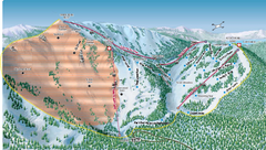
Alpine Meadows Ski Area Backside Ski Trail Map
Trail map from Alpine Meadows Ski Area, which provides downhill and terrain park skiing. It has 13...
367 miles away
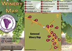
Kenwood Wine Tasting Map
367 miles away
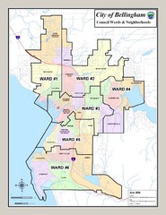
Bellingham Ward Map
Guide to wards in Bellingham, WA
367 miles away
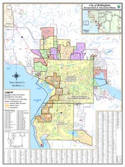
Bellingham, Washington City Map
368 miles away

