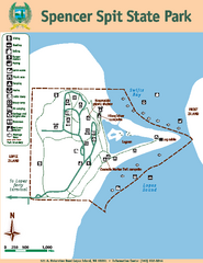
Spencer Spit State Park Map
Map of park with detail of trails and recreation zones
349 miles away
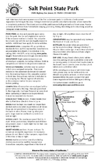
Salt Point State Park Campground Map
Map of campground region of park with detail of trails and recreation zones
349 miles away
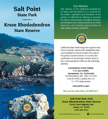
Salt Point State Park Map
Map of park with detail of trails and recreation zones
349 miles away

rthsaanich.ca District Map
349 miles away
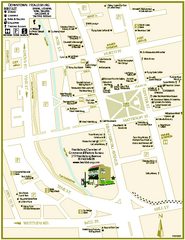
Downtown Healdsburg, California Map
Tourist maps of downtown Healdsburg, California. First map shows restaurants, galleries, wine...
350 miles away
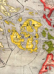
San Juan County Washington, 1909 Map
351 miles away
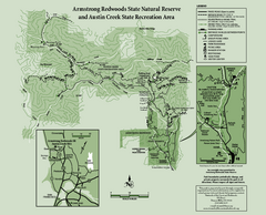
Armstrong Redwoods State Natural Reserve Map and...
Park map of Armstrong Redwoods State Natural Reserve and Austin Creek State Recreation Area in...
352 miles away

Orcas tourist map
Tourist map of Orcas, Washington. Shows all businesses.
352 miles away

The Town of Sidney - Parks Map
353 miles away
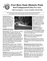
Fort Ross State Historic Park Campground Map
Map of park with detail of trails and recreation zones
353 miles away
Fort Ross State Historic Park Map
Map of park with detail of trails and recreation zones
353 miles away
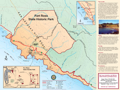
Fort Ross State Historic Park Map
Map of park with detail of trails and recreation zones
353 miles away
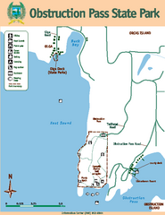
Obstruction Pass State Park Map
Map of park with detail of trails and recreation zones
354 miles away
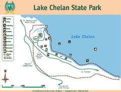
Lake Chelan State Park Map
Map of island with detail of trails and recreation zones
354 miles away
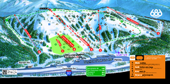
Boreal Mountain Resort Ski Trail Map
Trail map from Boreal Mountain Resort, which provides downhill, night, and terrain park skiing. It...
354 miles away
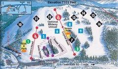
Soda Springs Ski Trail Map
Trail map from Soda Springs, which provides downhill and terrain park skiing. It has 2 lifts...
354 miles away
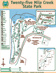
Twenty-Five Mile Creek State Park Map
Map of park with detail of trails and recreation zones
354 miles away
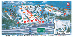
Boreal Ski Trail Map
Official ski trail map of Boreal ski area
354 miles away
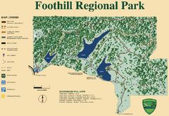
Foothill Regional Park Map
Park map of Foothill Regional Park in Sonoma County, California. Shows trails and 3 lakes.
354 miles away
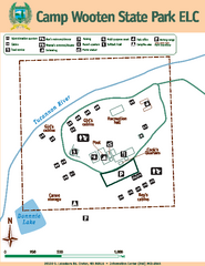
Camp Wooten State Park Map
Map of park with detail of trails and recreation zones
355 miles away
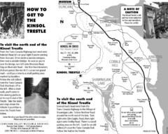
Kinsol Trestle Map
Map of the Kinsol Trestle
355 miles away
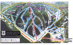
Bluewood Ski Trail Map
355 miles away
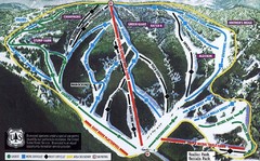
Bluewood Ski Trail Map
Trail map from Bluewood, which provides downhill, nordic, and terrain park skiing. It has 3 lifts...
355 miles away
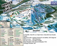
Donner Ski Ranch Ski Trail Map
Trail map from Donner Ski Ranch, which provides downhill and terrain park skiing. It has 6 lifts...
355 miles away

Tahoe Donner Ski Trail Map
Trail map from Tahoe Donner, which provides downhill, night, and nordic skiing. It has 3 lifts...
356 miles away

Skagit County Washington, 1909 Map
356 miles away
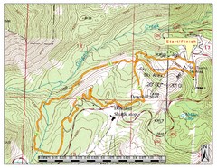
Sky Tavern XC Route Map
Topo map of the XC course for the cycling event.
356 miles away
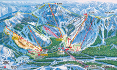
Sugar Bowl Resort Ski Trail Map
Trail map from Sugar Bowl Resort, which provides downhill and terrain park skiing. It has 12 lifts...
356 miles away
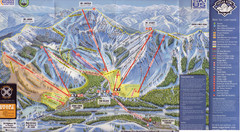
Sugar Bowl Ski Trail Map
Ski trail map of Sugar Bowl ski area from the 2008-09 season. Scanned.
357 miles away
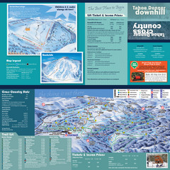
Tahoe Donner Cross Country Ski Trail Map
Ski trail map of Tahoe Donner Association. Shows both downhill and cross-country ski trails...
358 miles away
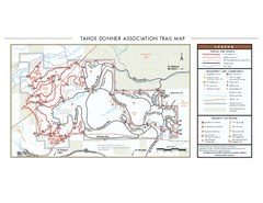
Tahoe Donner Ski Trail Map
Official ski trail map of Tahoe Donner Association. Shows both downhill and cross-country ski...
358 miles away

Lake Berryessa Map
Lake Berryessa Recreational Map, Napa County, California
358 miles away

Lake Berryessa Recreation Map
Lake Berryessa Recreational Map, Napa County, California
358 miles away
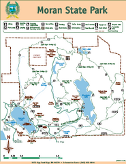
Moran State Park Map
Map of park with detail of trails and recreation zones
358 miles away
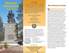
Donner Memorial State Park Map
Map of park with detail of trails and recreation zones
358 miles away
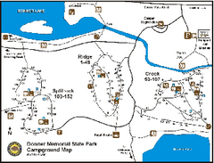
Donner Memorial State Park Campground Map
Map of park with detail of trails and recreation zones
358 miles away
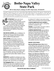
Bothe-Napa Valley State Park Map
Map of park with detail of of trails and recreation zones
358 miles away
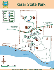
Rasar State Park Map
Map of park with detail of trails and recreation zones
359 miles away
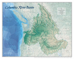
Columbia River Basin Map
359 miles away

Reno Tahoe Tourist Map
359 miles away

