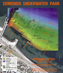
Edmonds Underwater Park Map
Map of underwater park for divers
306 miles away

Woodinville tourist map
Tourist map of Woodinville, Washington. Shows all businesses.
306 miles away
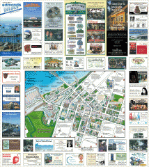
Downtown Edmonds tourist map
Tourist map of Downtown Edmonds, Washington. Shows all businesses.
306 miles away
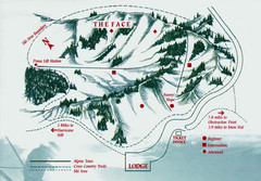
Hurricane Ridge Ski Trail Map
Trail map from Hurricane Ridge.
306 miles away
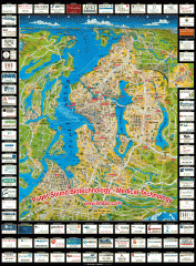
Puget Sound biotech map
Map of Puget Sound area biotechnology companies.
307 miles away

City of Kennewick Map
Simple road map of Kennewick.
307 miles away
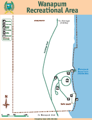
Wanapum Recreational Area Map
Map of park with detail of trails and recreation zones
307 miles away
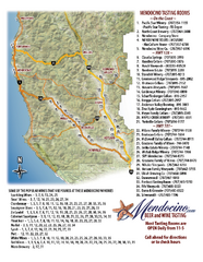
Mendocino Beer and Wine Tasting Map
Beer and wine tasting map of Mendocino county, California. Show breweries and wineries on the...
308 miles away
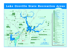
Lake Oroville State Recreation Area Map
Recreation overview map of Lake Oroville State Recreation Area near Oroville, California. Show all...
308 miles away
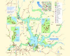
Lake Oroville State Recreation Area Map
Map of recreation area with detail of trails and recreation zones
308 miles away
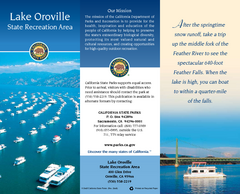
Lake Oroville State Recreation Area Map
Map of recreation area with detail of trails and recreation zones
308 miles away
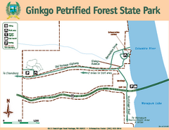
Ginkgo Petrified Forest State Park Map
Map of park with detail of trails and recreation zones
309 miles away
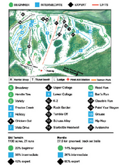
Anthony Lakes Mountain Resort Ski Trail Map
Trail map from Anthony Lakes Mountain Resort.
309 miles away
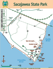
Sacajawea State Park Map
Map of park with detail of trails and recreation zones
310 miles away
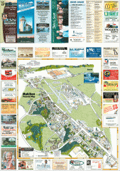
Mukilteo tourist map
Mukilteo, Washington tourist map. Shows all businesses.
313 miles away
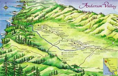
Anderson Valley Wine Map
Shows wineries/vineyards in Anderson Valley, California along Route 128 from Navarro, California to...
313 miles away
Hendy Woods State Park Map
Map of park with detail of trails and recreation zones
313 miles away
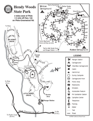
Hendy Woods State Park Map
Park map of Hendy Woods State Park in Philo, California. Shows trails, campgrounds, and other...
313 miles away
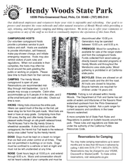
Hendy Woods State Park Campground Map
Map of campground region park with detail of trails and recreation zones
314 miles away
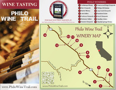
Philo Wine Map
Shows wineries great for wine tasting in the Anderson Valley along Route 128 in Philo California.
314 miles away
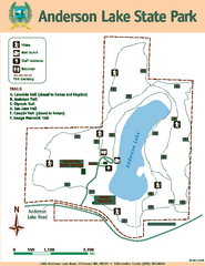
Anderson Lake State Park Map
Map of park and trails
314 miles away
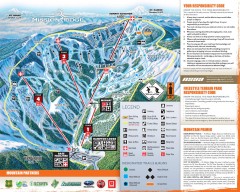
Mission Ridge Ski Trail Map
Official ski trail map of Mission Ridge ski area from the 2007-2008 season.
315 miles away
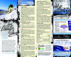
Mission Ridge Ski Area Ski Trail Map
Trail map from Mission Ridge Ski Area, which provides downhill, night, and terrain park skiing. It...
316 miles away
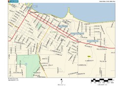
Port Angeles City Map
316 miles away
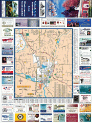
Snohomish tourst map
Tourist map of Snohomish, Washington. Shows all businesses.
316 miles away
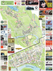
Snohomish tourist map
Snohomish, Washington tourist map. Shows all businesses.
316 miles away
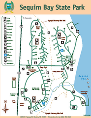
Sequim Bay State Park Map
Map of park with detail of trails and recreation zones
316 miles away
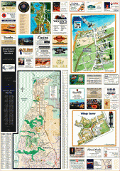
Mukilteo tourist map
Greater Mukilteo, Washington tourist map. Shows all businesses.
316 miles away

South Whidbey Island tourist map
Tourist map of South Whidbey Island, Washington. Shows all businesses.
317 miles away

South Whidbey tourist map
Tourist map of South Whidbey, Washington. Shows all businesses.
318 miles away
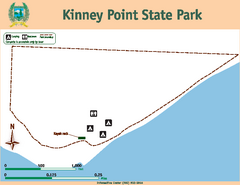
Kinney Point State Park Map
Map of island with detail of trails and recreation zones
318 miles away
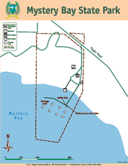
Mystery Bay State Park Map
Map of park with detail of trails and recreation zones
318 miles away
Plumas-Eureka State Park Map
Map of park with detail of trails and recreation zones
319 miles away
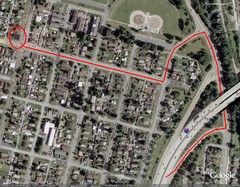
19th and Walnut in Everett, WA Map
319 miles away
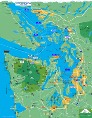
Seattle Ferry Guide Map
Map of ferries around Seattle, Puget Sound and Olympic Peninsula
319 miles away

Burning Map 2005 Map
Artistic representation of Burning Man's Black Rock City.
320 miles away
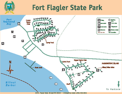
Fort Flagler State Park Map
Map of park with detail of trails and recreation zones
321 miles away

Whidbey Island tourist map
Tourist map of Whidbey Island and Coupeville, Washington. Shows all businesses.
321 miles away
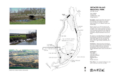
Spencer Island Park map
321 miles away

