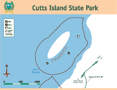
Cutts Island Stay Park Map
Map of park with detail of trails and recreation zones
283 miles away
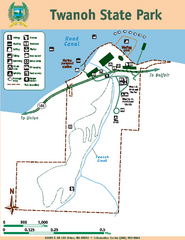
Twanoh State Park Map
Map of park with detail of trails and recreation zones
284 miles away
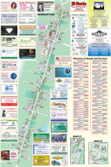
Milton tourist map
Tourist map of Milton, Washington. Shows all businesses.
284 miles away

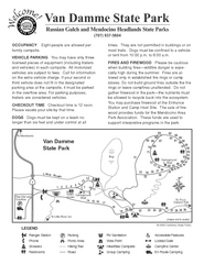
Van Damme State Park Map
Park map of Van Damme State Park near Mendocino, California. Show Fern Valley Trail through...
284 miles away
Van Damme State Park Campground Map
Map of campground region of park with detail of trails and recreation zones
284 miles away
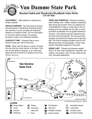
Van Damme State Park Campground Map
Map of campground region of park with detail of trails and recreation zones
284 miles away
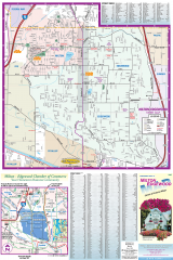
Milton and Edgewood tourist map
Tourist map of Milton and Edgewood, Washington. Shows all businesses.
284 miles away
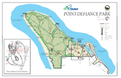
Point Defiance Park Map
285 miles away
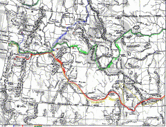
Oregon Trail Map
Old sketch map with modern cities, forts/ trading posts, and missions/churches superimposed. Shows...
287 miles away
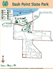
Dash Point State Park Map
Map of park with detail of trails and recreation zones
287 miles away

Yakima, Washington City Map
288 miles away
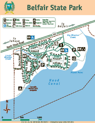
Belfair State Park Map
Map of park, with detail of trails and recreation zones
288 miles away
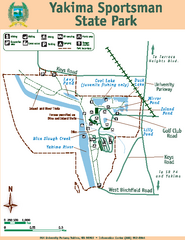
Yakima Sportsman State Park Map
Map of park with detail of trails and recreation zones
289 miles away

Steens Mountain Topo Map
Topography map of the east side of Steens mountain in Oregon.
290 miles away
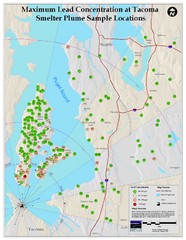
Tacoma Lead Concentration Map
A map of maximum lead concentrations near Tacoma.
291 miles away
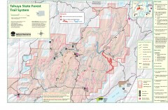
Tahuya State Forest Trail Map
Shows trails of Tahuya State Forest. Show roads, doubletrack, singletrack, and 4WD only.
292 miles away
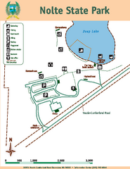
Nolte State Park Map
Map of park with detail of trails and recreation zones
292 miles away
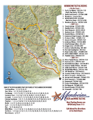
Mendocino Beer and Wine Tasting Map
Beer and wine tasting map of Mendocino county, California. Show breweries and wineries on the...
294 miles away

Tourist map of Downtown Des Moines, Washington
Tourist map of Downtown Des Moines, Washington. Shows all businesses.
294 miles away

Des Moines Washington tourist map
Tourist map of Des Moines, Washington, including Kent and SeaTac airport.
294 miles away
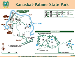
Kanaskat-Palmer State Park Map
Map of park with detail of trails and recreation zones
296 miles away
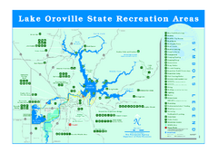
Lake Oroville State Recreation Area Map
Recreation overview map of Lake Oroville State Recreation Area near Oroville, California. Show all...
296 miles away
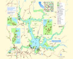
Lake Oroville State Recreation Area Map
Map of recreation area with detail of trails and recreation zones
297 miles away
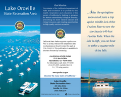
Lake Oroville State Recreation Area Map
Map of recreation area with detail of trails and recreation zones
297 miles away
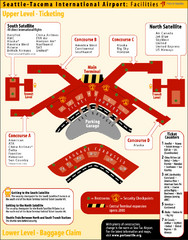
SeaTac Airport Map
297 miles away
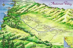
Anderson Valley Wine Map
Shows wineries/vineyards in Anderson Valley, California along Route 128 from Navarro, California to...
299 miles away
Hendy Woods State Park Map
Map of park with detail of trails and recreation zones
299 miles away
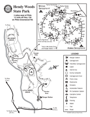
Hendy Woods State Park Map
Park map of Hendy Woods State Park in Philo, California. Shows trails, campgrounds, and other...
299 miles away
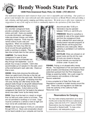
Hendy Woods State Park Campground Map
Map of campground region park with detail of trails and recreation zones
299 miles away
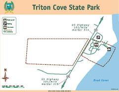
Triton Cove State Park Map
Map of park with detail of trails and recreation zones
300 miles away
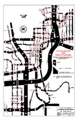
Renton WA Traffic Flow Map
City of Renton, WA traffic flow map
300 miles away

Philo Wine Map
Shows wineries great for wine tasting in the Anderson Valley along Route 128 in Philo California.
300 miles away
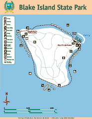
Blake Island State Park Map
Map of park with detail of trails and recreation zones
300 miles away
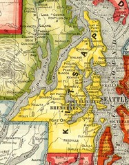
Kitsap County Washington, 1909 Map
300 miles away
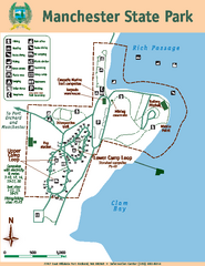
Manchester State Park Map
Map of park with detail of trails and recreation zones
302 miles away
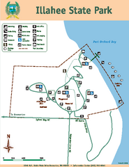
Illahee State Park Map
Map of park with detail of trails and recreation zones
303 miles away
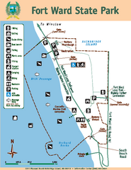
Fort Ward State Park Map
Map of park with detail of trails and recreation zones
303 miles away
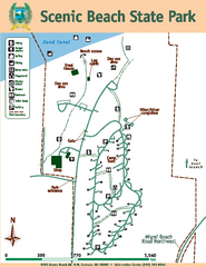
Scenic Beach State Park Map
Map of park with detail of trails and recreation zones
303 miles away
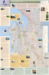
Duwamish River Community Map
This is a printed map, 32" X 40", created for the Duwamish River Cleanup Coalition in...
304 miles away
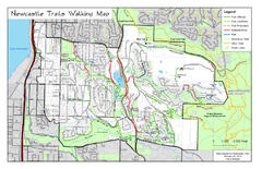
Newcastle Trails Trail Map
Trail map of existing and proposed trails in Newcastle, WA
305 miles away

