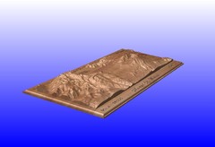
Mount St. Helens carved in wood by carvedmaps.com...
Mount St. Helens carved in wood by carvedmaps.com
220 miles away
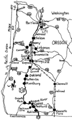
Oregon Walks Map
Walks in Portland, Oregon City, Corvallis, Salem, Lebanon, Albany, Eugene, Springfield, Junction...
220 miles away
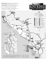
King Range National Conservation Area Trail Map
Trail map of the King Range National Conservation Area, home of the Lost Coast, California. Shows...
221 miles away
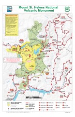
Mt. Saint Helens National Volcanic Monument...
Official recreation map showing all roads, trails, campgrounds, and other facilities. Also shows...
224 miles away
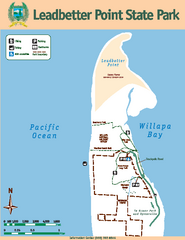
Leadbetter Point State Park Map
Map of park with detail of recreation zones and trails
224 miles away
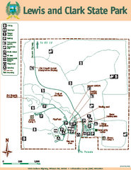
Lewis and Clark State Park Map
Map of park with detail of recreation zones and trails
229 miles away
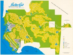
Shelter Cove Map
Shelter Cove Subdivision Map. Shows all streets, houses, commercial buildings, gas stations, and...
231 miles away
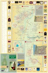
Oregon Winery Map / Local Side
232 miles away
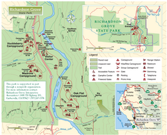
Richardson Grove State Park Map
Park map of Richardson Grove State Park, California. Shows trails, campgrounds, and other...
232 miles away
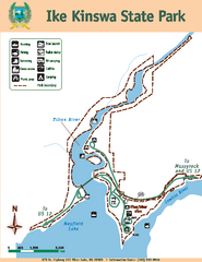
Ike Kinswa State Park Map
Map of park with detail of trails and recreation zones
236 miles away
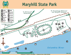
Maryhill State Park Map
Map of park with detail of trails and recreation zones
236 miles away
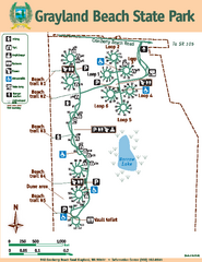
Grayland Beach State Park Map
Map of park with detail of trails and recreation zones
237 miles away
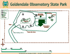
Goldendale State Park Map
Map of park with detail of trails and recreation zones
239 miles away
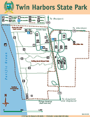
Twin Harbors State Park Map
Map of park with detail of trails and recreation zones
241 miles away
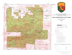
Latour State Forest Map
Countour map of the Latour Demonstration Forest.
242 miles away

William B. Ide Adobe State Historic Park Map
Map of park with detail of trails and recreation zones
242 miles away
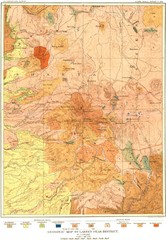
Lassen Peak District Geological Map
Geologic map of the Lassen Peak area in Lassen National Park, California. Shows sedimentary rock...
242 miles away
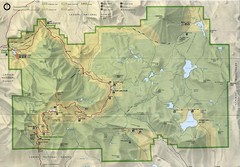
Lassen Volcanic National Park Map
244 miles away
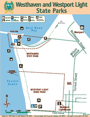
Westhaven/Westport Light State Parks Map
Map of park with detail of trails and recreation zones
244 miles away
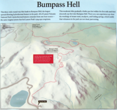
Bumpass Hell Trail Map
Trail map of route to Bumpass Hell, a major area of geo-thermal activity in Lassen National Park...
245 miles away
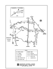
Mendocino National Forest map
Map of the Nome Cult Trail Walk in the Mendocino National Forest.
245 miles away
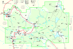
Lassen Volcanic National Park Official Park Map
Official NPS map of Lassen Volcanic National Park in California. Map shows all areas. Lassen...
245 miles away
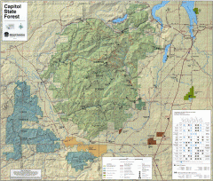
Capitol State Forest Map
Shows all trails in Capitol State Forest and surrounding area, including Lower Chehalis State...
252 miles away
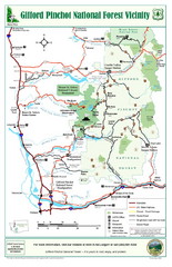
Gifford Pinchot National Forest Vicinity Map
Gifford Pinchot National Forest and surrounding areas including Mt. St Helens.
253 miles away
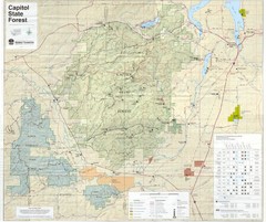
Capitol State Forest Map
253 miles away
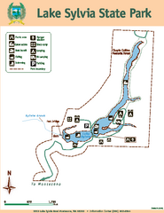
Lake Sylvia State Park Map
Map of island with detail of trails and recreation zones
253 miles away
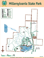
Millersylvania State Park Map
Map of park with detail of trails and recreation zones
254 miles away
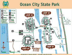
Ocean City State Park Map
Map of park with detail of trails and recreation zones
254 miles away
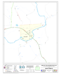
Monument Oregon Road Map
259 miles away
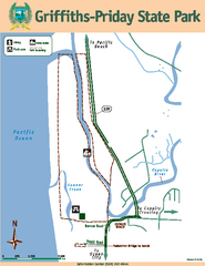
Griffiths-Priday State Park Map
Griffiths-Priday State Park
260 miles away
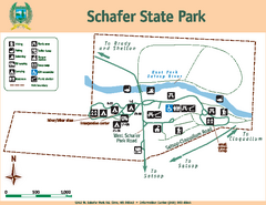
Schafer State Park Map
Map of park with detail of trails and recreation zones
261 miles away
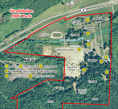
Grays Harbor County Straddleline ORV Park...
Park Map near Olympia
261 miles away
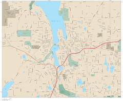
Olympia, Washington City Map
262 miles away

Olympia Map
Map of downtown Olympia's parking and shuttle routes.
263 miles away
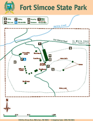
Fort Simcoe State Park Map
Map of park with detail of trails and recreation zones
264 miles away

Pacific Crest Trail Map
Shows entire route of 2,650 mile Pacific Crest Trail from Mexico to Canada.
265 miles away
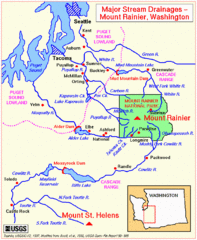
Mount Rainier Major Stream Drainages Map
265 miles away
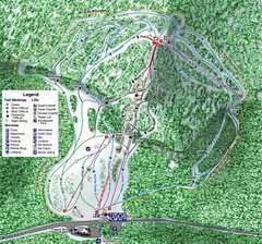
White Pass Ski Area Ski Trail Map
Trail map from White Pass Ski Area, which provides downhill, nordic, and terrain park skiing. It...
265 miles away
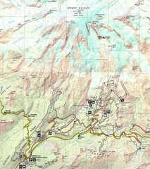
Pinnacle Saddle Trail Map
265 miles away
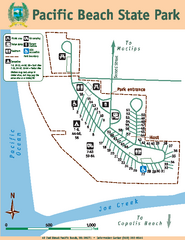
Pacific Beach State Park Map
Map of park with detail of trails and recreation zones
266 miles away

