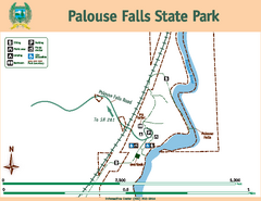
Palouse Falls State Park Map
Map of park with detail of trails and recreation zones
371 miles away
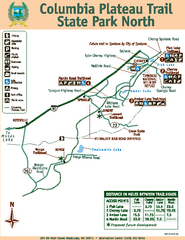
Columbia Plateau Trail State Park North Map
Map of park with detail of trails and recreation zones
371 miles away
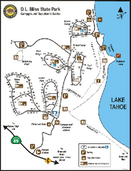
D.L. Bliss State Park Campground Map
Map of park with detail of trails and recreation zones
371 miles away
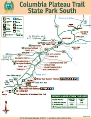
Columbia Plateau Trail State Park South Map
Map of park with detail of trails and recreation zones
371 miles away
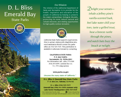
D.L. Bliss State Park Map
Map of park with detail of trails and recreation zones
371 miles away

Mt. Burdell Open Space Preserve Map
Trail map of Mt. Burdell Open Space Preserve and Olompali State Historic Park in Novato, Marin...
371 miles away
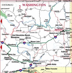
Eastern Washington Road Map
372 miles away

Carson River Aquatic Trail Map
372 miles away
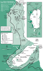
Emerald Bay State Park and DL Bliss State Park...
Trail map of Emerald Bay State Park and DL Bliss State Park on the shores of Lake Tahoe, California
372 miles away
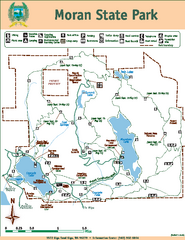
Moran State Park Map
Map of park with detail of trails and recreation zones
373 miles away
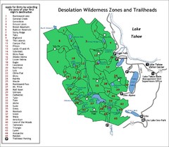
Desolation Wilderness Permits Zone Map
Zone and trailhead map of the Desolation Wilderness near Lake Tahoe, California. Use to figure out...
373 miles away
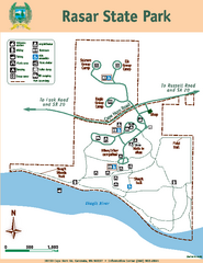
Rasar State Park Map
Map of park with detail of trails and recreation zones
373 miles away
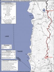
Tahoe Rim Trail: Spooner Summit to Kingsbury...
Topographic hiking map of the Spooner Summit-Kingsbury North leg of the Tahoe Rim Trail. Bike and...
373 miles away
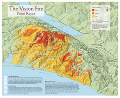
Point Reyes Vision Fire Map
Map of the burn intensity of the 1995 Vision Fire in Point Reyes National Seashore.
373 miles away
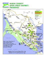
Marin Open Space Preserves Map
Shows all Open Space Preserves in Marin County, CA.
373 miles away
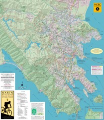
Marin, California Bike Map
373 miles away
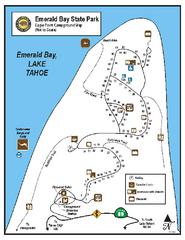
Emerald Bay State Park Campground Map
Map of park with detail of trails and recreation zones
373 miles away
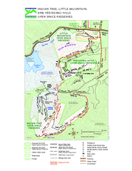
Indian Tree, Little Mountain, and Verissimo Hills...
374 miles away
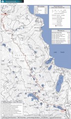
Tahoe Rim Trail: Echo Lake to Barker Pass Map
Topographic hiking map of the Echo Lake-Barker Pass leg of the Tahoe Rim Trail. Shows pedestrian...
374 miles away
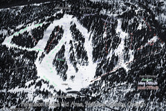
Ferguson Ridge Ski Trail Map
Trail map from Ferguson Ridge.
374 miles away
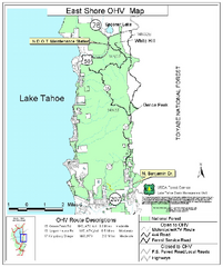
East Shore Lake Tahoe Off-highway Vehicle Map
Off-highway vehicle map of the East Shore of Lake Tahoe, California. Shows roads open to...
374 miles away
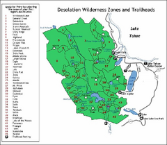
Desolation Wilderness, Lake Tahoe, California Map
Map of Desolation Wilderness, southwest of Lake Tahoe, California. Shows pack-in camping zones...
375 miles away
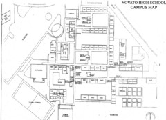
Novato High School Campus Map
375 miles away
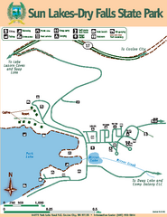
Sun Lakes-Dry Falls State Park Map
Map of park with detail of trails and recreation zones
375 miles away
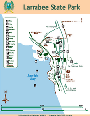
Larrabee State Park Map
Map of island with detail of trails and recreation zones
375 miles away
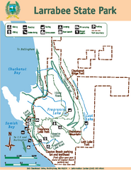
Larrabee State Park Map
Map of island with detail of trails and recreation zones
375 miles away
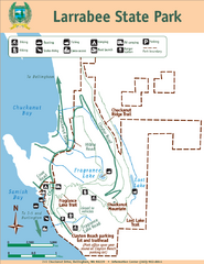
Larrabee State Park Map
Park map of Larrabee State Park, Washington.
375 miles away
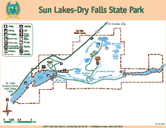
Sun Lakes-Dry Falls State Park Map
Map of park with detail of trails and recreation zones
375 miles away
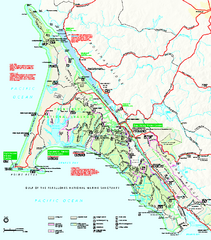
Point Reyes National Seashore Map
Official NPS map of Point Reyes National Seashore in Marin County, California. Shows trails, roads...
376 miles away
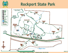
Rockport State Park Map
Map of park with detail of trails and recreation zones
376 miles away
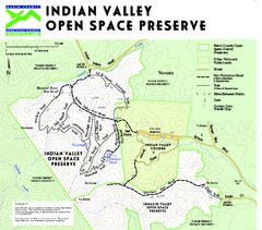
Indian Valley Open Space Preserve Map
376 miles away
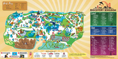
Six Flags Discovery Kingdom Park Map
Six Flags Discovery Kingdom theme park (formerly Marine World) in Vallejo, California. Experience...
376 miles away
Samuel P. Taylor State Park Map
Map of park with detail of trails and recreation zones
377 miles away
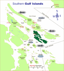
Southern Gulf Islands Map
Map of the region. Shows ferry routes.
377 miles away
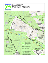
Lucas Valley Open Space Preserve Map
378 miles away
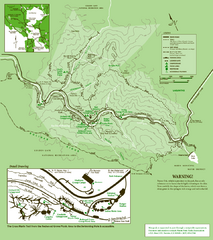
Samuel Taylor State Park Trail Map
Trail map of Samuel Taylor State Park near Lagunitas, CA.
378 miles away
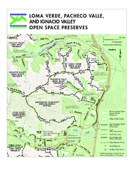
Loma Verde, Pacheco Valley, Lucas Valley and...
378 miles away
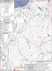
Tahoe Rim Trail: Kingsbury South to Big Meadows...
Topographic hiking map of the Kingsbury South-Big Meadows leg of the Tahoe Rim Trail. Shows...
378 miles away
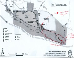
Lake Padden Park Trails Map
Course Elevation Map noted in handwriting on map. Festival location noted as well.
379 miles away
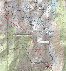
Pyramid Peak Ski Route Map
Backcountry ski route map of Pyramid Peak 9983 ft in the Desolation Wilderness near Lake Tahoe...
379 miles away

