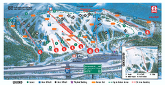
Boreal Ski Trail Map
Official ski trail map of Boreal ski area
344 miles away
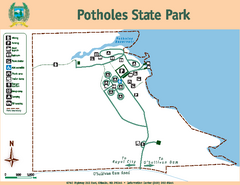
Potholes State Park Map
Map of park with detail of trails and recreation zones
344 miles away
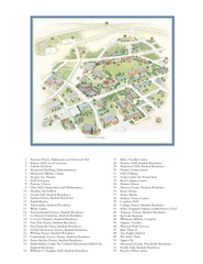
Whitman College Campus Map
Campus map of Whitman College in Walla Walla, WA
345 miles away

Lake Berryessa Map
Lake Berryessa Recreational Map, Napa County, California
345 miles away

Lake Berryessa Recreation Map
Lake Berryessa Recreational Map, Napa County, California
345 miles away
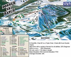
Donner Ski Ranch Ski Trail Map
Trail map from Donner Ski Ranch, which provides downhill and terrain park skiing. It has 6 lifts...
345 miles away
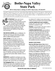
Bothe-Napa Valley State Park Map
Map of park with detail of of trails and recreation zones
345 miles away
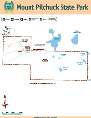
Mount Pilchuck State Park Map
Map of park with detail of trails and recreation zones
345 miles away

Tahoe Donner Ski Trail Map
Trail map from Tahoe Donner, which provides downhill, night, and nordic skiing. It has 3 lifts...
345 miles away
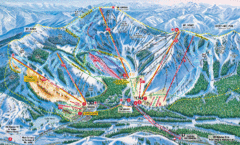
Sugar Bowl Resort Ski Trail Map
Trail map from Sugar Bowl Resort, which provides downhill and terrain park skiing. It has 12 lifts...
346 miles away
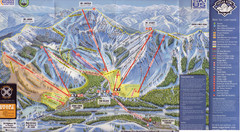
Sugar Bowl Ski Trail Map
Ski trail map of Sugar Bowl ski area from the 2008-09 season. Scanned.
346 miles away
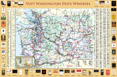
Washington State Winery Map
Washington State Winery Map
347 miles away
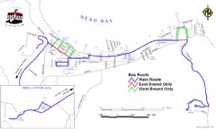
Neah Bay Bus Route Map
347 miles away
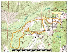
Sky Tavern XC Route Map
Topo map of the XC course for the cycling event.
347 miles away
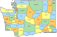
Washington State Counties Map
347 miles away
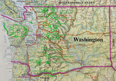
Washington State Road and Recreation Map
347 miles away
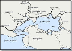
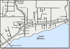
Community of Sooke, British Columbia Map
http://www.sooke.org/maps/map2.htm © Pax Media Inc.
347 miles away
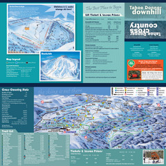
Tahoe Donner Cross Country Ski Trail Map
Ski trail map of Tahoe Donner Association. Shows both downhill and cross-country ski trails...
347 miles away
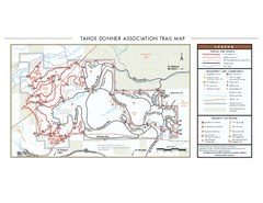
Tahoe Donner Ski Trail Map
Official ski trail map of Tahoe Donner Association. Shows both downhill and cross-country ski...
347 miles away
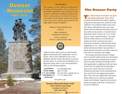
Donner Memorial State Park Map
Map of park with detail of trails and recreation zones
348 miles away
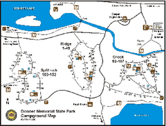
Donner Memorial State Park Campground Map
Map of park with detail of trails and recreation zones
348 miles away

Arlington and Smokey Point tourist map
Tourist map of Arlington and Smokey Point, Washington. Shows all businesses.
348 miles away
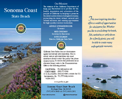
Sonoma Coast State Beach Map
Map of beach and park with detail of trails and recreation zones
348 miles away

Greater Lake Berryessa Region Tourist Map
Tourist map of the Lake Berryessa region in Napa, California
348 miles away
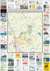
Arlington tourist map
Tourist map of Arlington, Washington. Shows all businesses.
349 miles away

Oak Harbor tourist map
Tourist map of Oak Harbor, Washington. Shows all businesses.
349 miles away
Auburn State Recreation Area Map
Map of park with detail of of trails and recreation zones
350 miles away
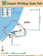
Joseph Whidbey State Park Map
Map of park with detail of trails and recreation zones
350 miles away

Reno Tahoe Tourist Map
350 miles away

Reno, Nevada City Map
350 miles away
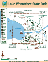
Lake Wenatchee State Park Map
Map of island with detail of trails and recreation zones
351 miles away
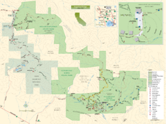
Sugarloaf Ridge State Park Map
Trail map of Sugarloaf Ridge State Park
351 miles away
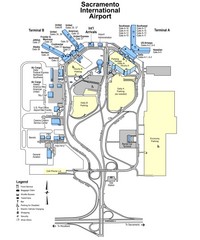
Sacramento International Airport Map
351 miles away
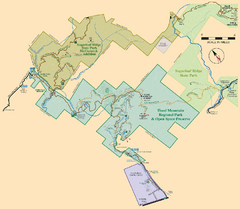
Hood Mountain Regional Park Map and Sugarloaf...
Park map of Hood Mountain Regional Park and Open Space Preserve and Sugarloaf Ridge State Park in...
351 miles away

Downtown Reno, Nevada Map
Tourist map of Reno, Nevada. Event and convention centers, visitor's center, parks, and other...
351 miles away
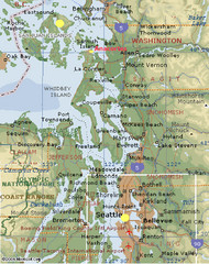
Washington State - West Coast Map
Washington State - West Coast Map
351 miles away
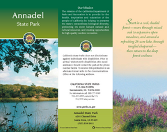
Annadel State Park Map
Map of park with detail of trails and recreation zones
351 miles away

Sebastopol Map
Map of Sebastopol and surrounding towns.
351 miles away
BEACON HILL PARK MAP
352 miles away

