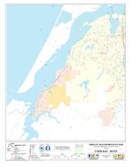
West Coos Bay Oregon Road Map
0 miles away
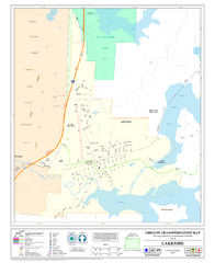
Lakeside Oregon Road Map
15 miles away
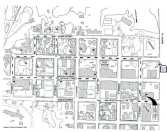
Myrtle Point walking tour Map
Walking tour map of the Historic homes of Myrtle Point in the Coquille Valley of Oregon.
21 miles away
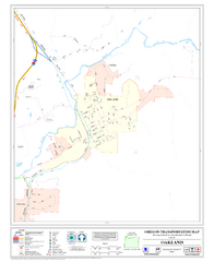
Oakland Oregon Road Map
46 miles away
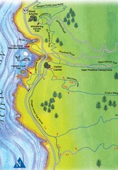
Cape Perpetua Map
63 miles away
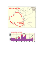
Wolf Creek Road Race Route and Route Elevation Map
Route map and elevation of Wolf Creek bike Race
69 miles away
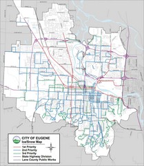
Eugene, Oregon City Map
73 miles away

Eugene Parks map
City of Eugene Parks Map. Includes streets and trails.
73 miles away
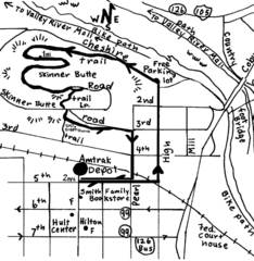
Eugene Oregon Walk, Skinner Butte and River Path...
Walk on the Willamette River Bike path, up Skinner Butte on a forest path and through a historic...
74 miles away
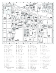
University of Oregon campus map
University of Oregon campus map with building abbreviations
74 miles away
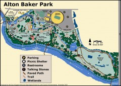
Alton Baker Park Map
Shows parking, picnic shelters, restrooms, talking stones, paved path, trail, and wetlands. Alton...
75 miles away
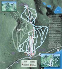
Willamette Pass Ski Trail Map
Trail map from Willamette Pass.
75 miles away
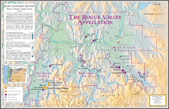
Oregon Rogue Valley wineries Map
Southern Oregon's Rogue Valley wineries
78 miles away
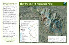
Howard Buford Recreational Area Trails Map
Map of the Howard Buford Recreational Area trails, roads, picnic areas, bathrooms, attractions.
79 miles away
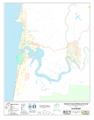
Newport Oregon Road Map
88 miles away
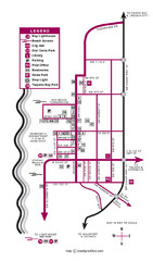
Nye Beach Tourist Map
89 miles away
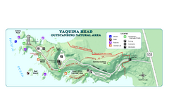
Yaquina Head Outstanding National Area Map
91 miles away
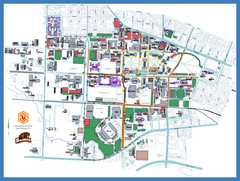
Oregon State University Campus Map
Campus map of Oregon State University in Corvallis, Oregon
95 miles away
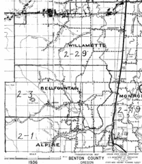
Transportaion for Benton County 1936 Map
1936 Map of Benton County, Oregon known as Muddy Area with counties, roads and towns marked
97 miles away

Bear Creek Greenway Map
Trail map of the Bear Creek Greenway connecting Central Point to Ashland, Oregon. Will eventually...
99 miles away
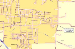
Medford, Oregon City Map
99 miles away
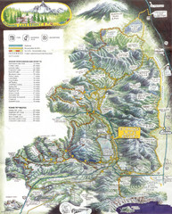
Diamond Lake Tourist Map
105 miles away
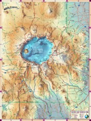
Crater Lake National Park map
Great map of Crater Lake National Park shows all trails, viewpoints, mountains, roads, campgrounds...
109 miles away
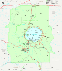
Crater Lake National Park official map
Official map of Crater Lake National Park. Shows hiking trails, elevations of peaks, roads, and...
109 miles away
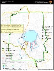
Crater Lake National Park Map
109 miles away
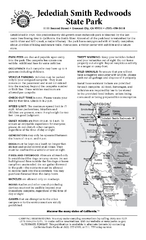
Jedediah Smith Redwoods State Park Campground Map
Map of campground region of park with detail of trails and recreation zones
110 miles away
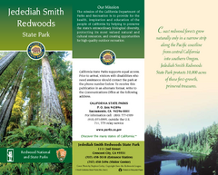
Jedediah Smith Redwoods State Park Map
Map of park with detail of trails and recreation zones
110 miles away
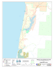
Lincoln City Oregon Road Map
111 miles away
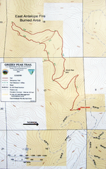
Grizzly Peak Trail Map
Topographic trail map of Grizzly Peak near Ashland, Oregon. Shows trails and distances. From...
111 miles away
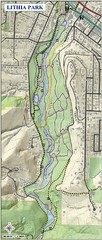
Lithia Park Trail Map
Trail map of Lithia Park in town of Ashland, Oregon. Adjacent to the Oregon Shakespeare Festival.
111 miles away
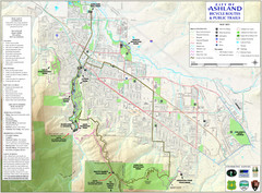
Ashland Trails Map
Trail map of Ashland, Oregon. Shows bicycle routes and public parks and trails.
112 miles away

Independence Oregon Road Map
115 miles away
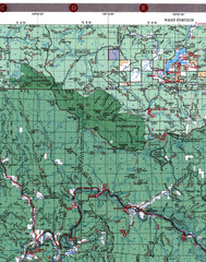
Klamath National Forest Map
Visitor Map of Klamath, western part of the park. Includes all roads, lakes, rivers and camping...
115 miles away
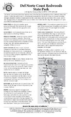
Del Norte Coast Redwoods State Park Campground Map
Map of park with detail of trails and recreation zones
117 miles away
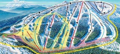
Mt. Ashland Ski Trail Map
Ski trail map of Mt. Ashland ski area near Ashland, Oregon
117 miles away
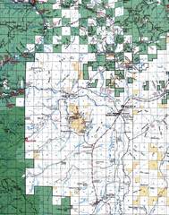
Clip07 Map
Visitor Maps of Klamath, central-western part of the park. Includes all roads, camp grounds...
121 miles away
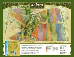
Van Duzer Vineyard Map
"A colorful vineyard map that shows the location of Van Duzer’s numerous grape varietals...
121 miles away
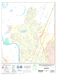
Keizer Oregon Road Map
127 miles away
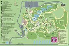
Oregon Garden Map
Map and key marking trails and more in this amazing garden.
132 miles away

