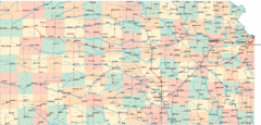
Kansas Map Circa 1910
0 miles away
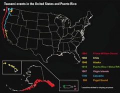
US Tsunami Events Map
Shows tsunami events in the US and Puerto Rico from 900 to 1964. Map not to scale. This map shows...
16 miles away

Disc Golf Courses Map
Disc Golf Courses in and near the contiguous United States as of 1/1/2011, according to Disc Golf...
25 miles away
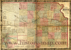
Kansas Railroad Map 1867
Here for your perusal is a sectional map of the state of Kansas showing the route of the Union...
41 miles away
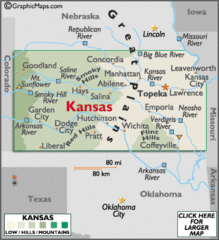
Kansas Elevations Map
41 miles away
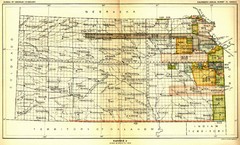
Kansas Native American Territories 1866-1867 Map
489., 492 Cherokee, 19 Jul 1866 (on Indian Territory Map 22, Kansas, Map 27) 495. Sauk and Fox of...
41 miles away
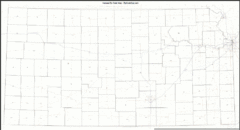
Kansas Zip Code Map
Check out this Zip code map and every other state and county zip code map zipcodeguy.com.
41 miles away
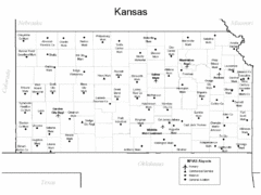
Kansas Airports Map
41 miles away
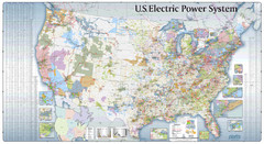
US Electric Power System Map
Map showing the US electric power system. from site: "shows power generation and transmission...
47 miles away
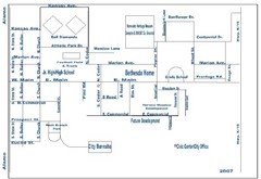
Goessel City Map
City Map of Goessel, Kansas
55 miles away
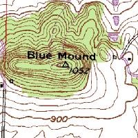
Mont Bleau Ski Trail Map
Trail map from Mont Bleau. This ski area opened in 1965/66.
61 miles away
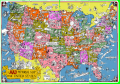
A MAD Pictorial Map of the United States - Front...
I found these raw assembled scans in a dieing torrent in 2010. Hash code...
62 miles away
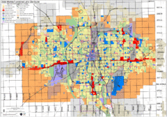
Wichita Functional Land Use Guide Map
Development map for future land use by 2030
75 miles away
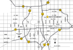
Wichita, Kansas City Map
76 miles away

18th Century United States Map
81 miles away
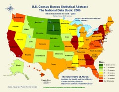
United States Travel Time to Work Statistical Map
94 miles away
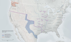
United States, Westward Expansion Map
97 miles away
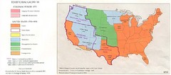
Territorial Expansion in Eastern United States...
98 miles away
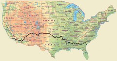
Cross Country Bike Route Map
A Map Of The Route taken by Lucas Hartman on his 6 week, 3,108.1 mile cross-country bike trip.
101 miles away
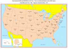
Electoral Votes by State Map
Electoral vote distribution by state
107 miles away
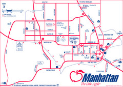
Manhattan (Kansas) City Map
City Map of Manhattan, Kansas including Kansas State University
108 miles away
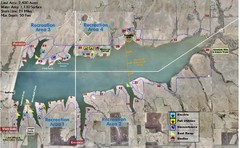
Winfield City Lake Map
Recreation map of Winfield City Lake in Winfield, Kansas. Named Timber Creek Lake. Shows camping...
109 miles away
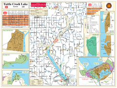
Tuttle Creek Lake Map
Army Corps of Engineers Map of Tuttle Creek Lake and adjoining State Parks.
109 miles away
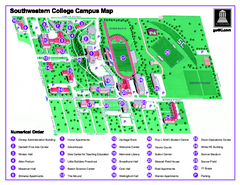
Southwestern College Campus Map
Southwestern College Campus Map. Shows all buildings.
110 miles away
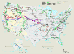
National Trails System Map
Map of all US National Scenic Trails and National Historic Trails. Shows all National Park System...
115 miles away
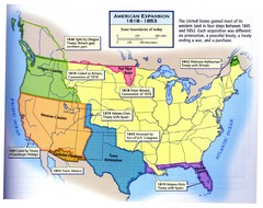
American Expansion 1818-1853 Map
Shows the four major steps through which the US gained most of it's western land between 1818...
119 miles away
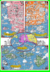
A MAD Pictorial Map of the United States - Back...
I found these raw assembled scans in a dieing torrent in 2010. Hash code...
121 miles away
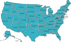
United States Map
126 miles away
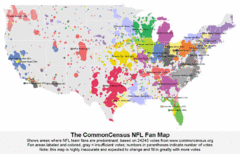
NFL Fan Bases Map
Shows US fan bases of NFL teams
126 miles away
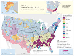
Census 2000 Data Top US Ancestries by County Map
Guide to Ancestries in the US
140 miles away
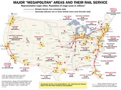
Amtrak Major Railway Map
Guide to major cities and rail lines connecting them
147 miles away
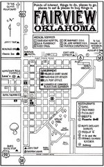
Fairview City Map
City map of Fairview with restaurants, government offices, medical services and hotels
150 miles away
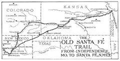
The Old Santa Fe Trail Map
160 miles away
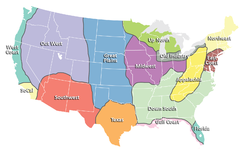
Regions of the United States Map
Appalachia- Hills, hills and more hills. Appalachian landforms contribute to landscapes of...
162 miles away
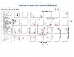
Walking tour of Historic Independence Map
Self-guided walking tour map of Historic Independence, Kansas. Shows historic housing in the...
166 miles away
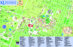
University of Kansas - Main Campus Map
University of Kansas - Main Campus Map. All areas shown.
169 miles away
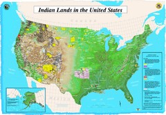
Indian Lands Map
Map of Indian Lands throughout the US
170 miles away

University of Kansas Bus Route Map
170 miles away
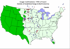
United States Cougar Territory and Eastern...
170 miles away

