
Black Hills National Forest Park Map
193 miles away

Black Hills Map
195 miles away
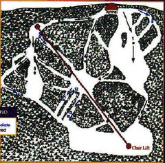
Mystic Miner Ski Resort at Deer Mountain West...
Trail map from Mystic Miner Ski Resort at Deer Mountain.
196 miles away
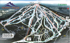
Terry Peak Ski Area Ski Trail Map
Trail map from Terry Peak Ski Area.
197 miles away

Stone State Park Map
Map of trails and park facilities in Stone State Park.
199 miles away
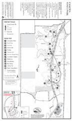
Camden State Park Winter Map
Map of park with detail of trails and recreation zones
199 miles away
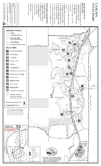
Camden State Park Summer Map
Map of park with detail of trails and recreation zones
199 miles away
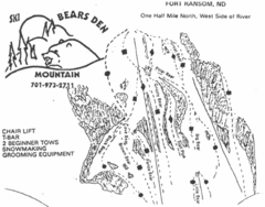
Bears Den Mountain Ski Trail Map
Trail map from Bears Den Mountain.
201 miles away
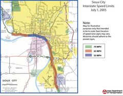
Sioux City, Iowa City Map
204 miles away
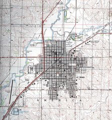
Lemars Iowa Topo Map
USGS topo map of Lemars, Iowa
205 miles away
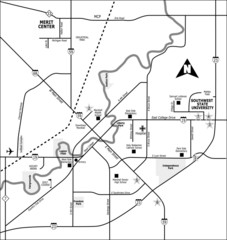
City of Marshall Visitor's Map
City of Marshall Visitor's Map describes the location of basic needs as well as recreational...
207 miles away
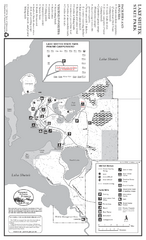
Lake Shetek State Park Winter Map
Winter seasonal map of park with detail of trails and recreation zones
210 miles away
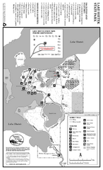
Lake Shetek State Park Summer Map
Summer seasonal map of park with detail of trails and recreation zones
210 miles away
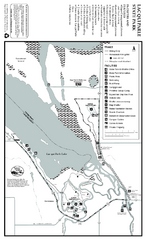
Lac Qui Parle State Park Map
Map of park with detail of trails and recreation zones
211 miles away
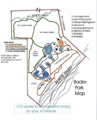
Bader Park Map
225 miles away
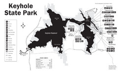
Keyhole State Park Map
Keyhole State Park is located on the western edge of the famed Black Hills, between Sundance and...
225 miles away
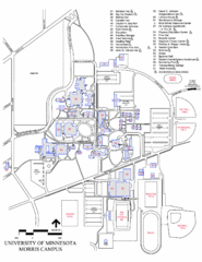
University of Minnesota Morris Campus Map
University of Minnesota Morris Campus map. Description off all buildings, streets and parking lots...
226 miles away
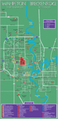
Wahpeton and Breckenridge City Map
City map of Wahpeton, North Dakota and Breckenridge, Minnesota. Shows motels, education...
226 miles away
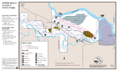
Upper Sioux Agency State Park Winter Map
Winter seasonal map of park with detail of trails and recreation zone
226 miles away
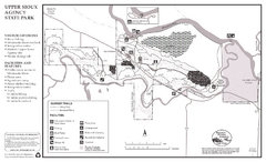
Upper Sioux Agency State Park Summer Map
Summer seasonal map of park with detail of trails and recreation zones
227 miles away
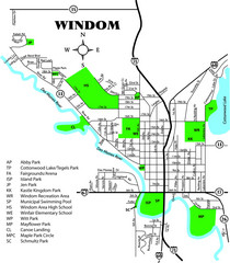
Windom City Parks Map
238 miles away
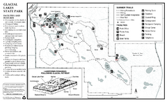
Glacial Lakes State Park Map
Map of park with detail of trails and recreation zones
241 miles away
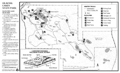
Glacial Lakes State Park Winter Map
Map of park with detail of trails and recreation zones
241 miles away
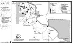
Kilen Woods State Park Summer Map
Summer seasonal map of park with detail of trails and recreation zones
242 miles away
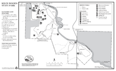
Kilen Woods State Park Winter Map
Winter seasonal map of park with detail of trails and recreation zones
242 miles away
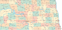
North Dakota Road Map
245 miles away
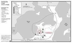
Monson Lake State Park Map
Map of park with detail of trails and recreation zones
246 miles away

Andes Tower Hills Ski Trail Map
Trail map from Andes Tower Hills.
246 miles away
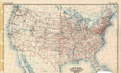
Highway Plan 1926 Map
250 miles away

North Dakota Small Game Map
Guide to hunting sandhill cranes in North Dakota
250 miles away
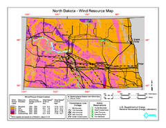
North Dakota Wind Resource Map
253 miles away
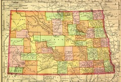
North Dakota Map
253 miles away
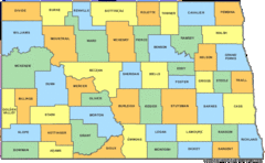
North Dakota Counties Map
253 miles away
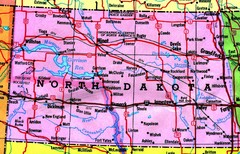
North Dakota Tourist Map
253 miles away
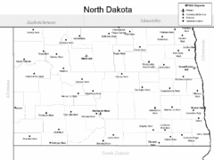
North Dakota Airport Map
253 miles away

Fort Defiance State Park Map
Map of hiking, equestrian and cross country skiing trails and park facilities of Fort Defiance...
255 miles away
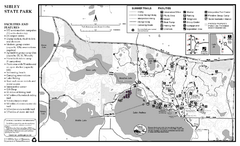
Sibley State Park Summer Map
map of park with detail of trails and recreation zones
256 miles away
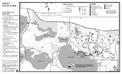
Sibley State Park Winter Map
Winter seasonal map of park with detail of trails and recreation zones
256 miles away
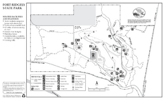
Fort Ridgely State Park Winter Map
Winter map of park with detail of trails and recreation zones
258 miles away
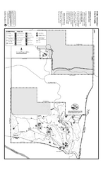
Fort Ridgely State Park Summer Map
Summer map of park with detail of trails and recreation zones
258 miles away

