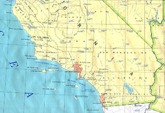
Southern California Map
174 miles away

Snow Valley Ski Trail Map
Official ski trail map of Snow Valley ski area
175 miles away
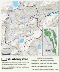
Mt. Whitney Zone Map
Zone map of Mt. Whitney area. Shows trail from Whitney Portal and Zone requiring Limited Use...
175 miles away

California Agricultural Region Map
179 miles away
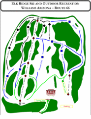
Elk Ridge Ski Trail Map
Trail map from Elk Ridge, which provides downhill skiing. It has 2 lifts servicing 7 runs; the...
179 miles away
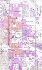
Palm Springs California City Map
180 miles away
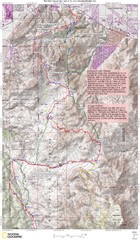
Palm Canyon Epic Trail Map
Upper Trailhead Map. Topo map marked with detail route and notes for ride.
181 miles away
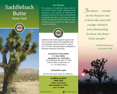
Saddleback Butte State Park Map
Map of park with detail of trails and recreation zones
182 miles away
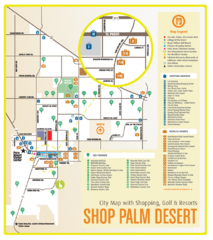
Palm Desert Shopping Map
Visitor map/shopping guide of Palm Desert
182 miles away
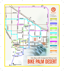
Palm Desert Biking Map
Biking route and trail map of Palm Desert, California
183 miles away
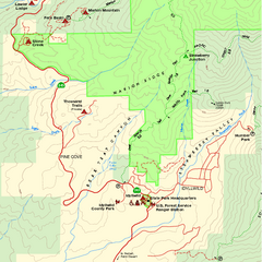
Mount San Jacinto State Park SW Map
Map of SW region of park with detail of trails and recreation zones
185 miles away
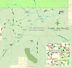
Mount San Jacinto State Park SE Map
Map of SE region of park with detail of trails and recreation zones
185 miles away
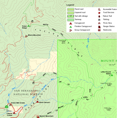
Mount San Jacinto State Park NW Map
Map of NW region of park with detail of trails and recreation zones
185 miles away
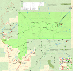
Mount San Jacinto State Park Map
Map of park with detail of trails and recreation zones
185 miles away
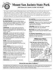
Mount San Jacinto State Park Campground Map
Map of campground region of park with detail of trails and recreation zones
185 miles away
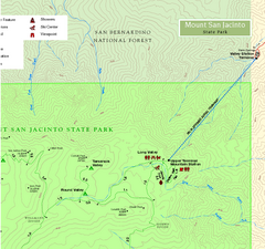
Mount San Jacinto State Park NE Map
Map of NE region of park with detail of trails and recreation zones
185 miles away
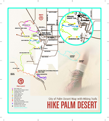
Palm Desert Hiking Trail Map
Trail map of Palm Desert, California. Shows hiking trails leaving right from town
185 miles away

Upper Kern River Area Map
This beautiful 35 mile stretch of the Upper Kern River from Lake Isabella to Quaking Aspen offers a...
186 miles away
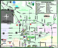
City of San Bernardino, California Map
Tourist map of San Bernardino, California. Shows lodging, recreation facilities and other points of...
186 miles away
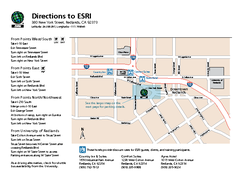
ESRI Campus Map
186 miles away
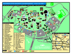
California State University - San Bernardino Map
California State University - San Bernardino Campus Map. All buildings shown.
187 miles away
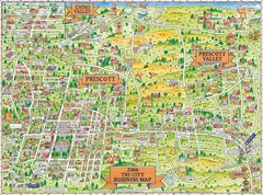
Prescott Prescott Valley and Chino Valley Tourist...
Tri-city tourist map of Prescott, Arizona, Prescott Valley, Arizona, and Chino Valley, Arizona...
188 miles away
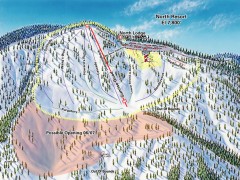
Mountain High Ski Trail Map - North Resort
Official ski trail map of Mountain High ski area for the North Resort
189 miles away
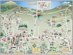
Prescott tourist map
Tourist and business map of Prescott, Arizona. Shows all businesses in the tri-city area.
189 miles away
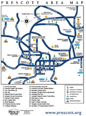
Prescott Area Map
189 miles away
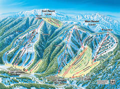
Mountain High Resort East & West Resorts Ski...
Trail map from Mountain High Resort, which provides downhill, night, and terrain park skiing. It...
190 miles away
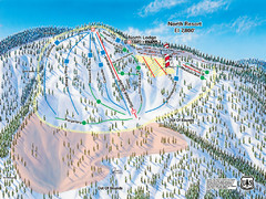
Mountain High Resort North Resort Ski Trail Map
Trail map from Mountain High Resort, which provides downhill, night, and terrain park skiing. It...
190 miles away
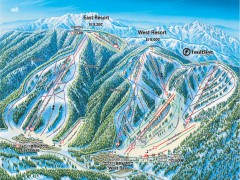
Mountain High Ski Trail Map - East and West Resort
Official ski trail map of Mountain High ski area for the East Resort and West Resort
190 miles away

Lake Isabella Map and Statistics
190 miles away

Lake Isabella Camping and Fishing Map
190 miles away

Sequoia (South) National Forest Visitor Map: Lake...
190 miles away

Kern River Valley Area Map
190 miles away

Upper Kern River Area Recreation Opportunities Map
190 miles away
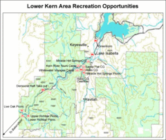
Lower Kern River (Kern Canyon) Area Recreation...
190 miles away

Lake Isabella Area Recreation Opportunities Map
190 miles away
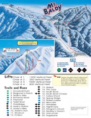
Mt. Baldy Ski Trail Map
Official ski trail map of Mount Baldy Ski Lifts ski area
191 miles away
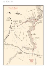
Buckskin Gulch Trail Map
Guide to Buckskin Gulch, the longest slot canyon in the US
191 miles away
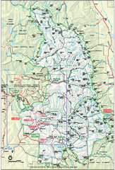
Sequoia National Park map and Kings Canyon...
Official park map of Sequoia National Park and Kings Canyon National Park.
191 miles away
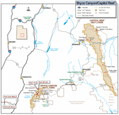
Bryce Canyon National Park Map
Roads, highways, rivers and points of interest are clearly marked on this simple map.
192 miles away

