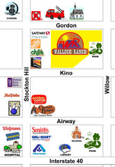
Walleck Ranch Area, Kingman Arizona Map
90 miles away
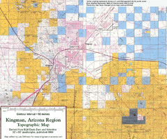
Kingman, Arizona Region Topographic Map
Elevation in qauadrangles for the Kingman, Arizona area
91 miles away
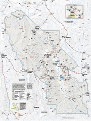
Death Valley National Park map
Official NPS map of Death Valley National Park. Shows all roads (paved and unpaved), 4 wheel drive...
93 miles away
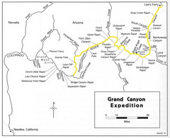
Grand Canyon River Expedition Map
Guide to the Colorado River, rapids and washes
93 miles away

Death Valley National Park Map
97 miles away
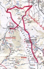
Death Valley Guide Map
97 miles away
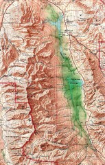
Death Valley National Park Map
98 miles away
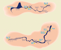
Grand Canyon River Rafting Map
Guide to the Colorado River, Grand Canyon river rafting
103 miles away
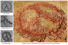
Rendered Terrain of the Grand Canyon Map
Created from Digital Elevation Models
107 miles away
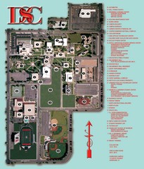
Dixie State College Campus Map
Campus Map
110 miles away
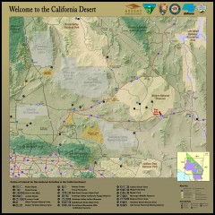
California Desert Recreation Map
Shows points of interest for recreational activities in the California desert
110 miles away
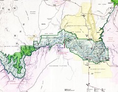
Grand Canyon Map
Guide to the Grand Canyon National Park
114 miles away
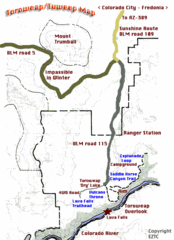
Toroweap Park Map
115 miles away
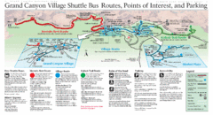
Grand Canyon Shuttle Bus Map
Guide to shuttle bus routes, points of interest and parking in Grand Canyon National Park
125 miles away
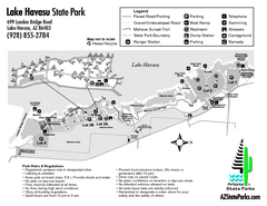
Lake Havasu State Park Map
Map of park with detail of trails and recreation zones
132 miles away
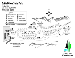
Cattail Cove State Park Map
Map of park with detail of trails and recreation zones
137 miles away
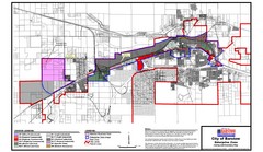
City of Barstow Zoning Map
Map illustrates the zoning and boundary areas of the city of Barstow.
138 miles away
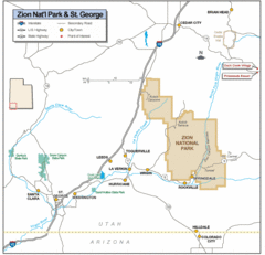
Zion National Park Highway Map
Highways, roads, cities and points of interest are marked on this clear map.
140 miles away
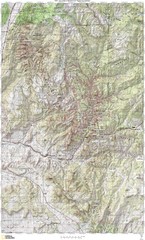
Zion National Park Topography Map
140 miles away

Zion Canyon Map
A detailed map of the Zion Canyon in Zion National Park
141 miles away
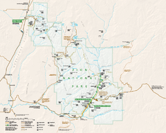
Zion National Park Official map
Official park map of Zion National Park. Shows trails, roads, and all park facilities.
143 miles away
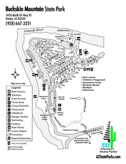
Buckskin Mountain State Park Map
Map of park with detail of trails and recreation zones
144 miles away
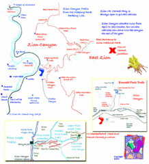
Zion National Park Trails Map
144 miles away
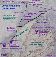
Coral Pink Sand Dunes Map
145 miles away
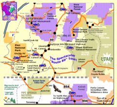
Zion National Park Tourist Map
145 miles away
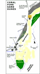
Coral Pink Sand Dunes State Park Map
Rippling arcs of rust-colored sand welcome you as you enter Coral Pink Sand Dunes State Park...
147 miles away
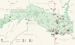
Grand Canyon National Park map
Official map of Grand Canyon National Park. Currently not available on the NPS website
152 miles away
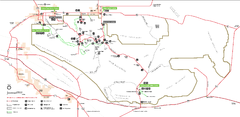
Joshua Tree National Park Official Park Map
Official NPS map of Joshua Tree National Park in California. Map shows all areas. The park is...
162 miles away
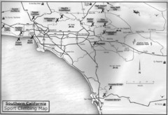
Southern California Sport Climbing Map
Guide to major sport climbing areas in Southern California
163 miles away
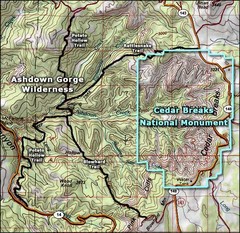
Topo Map of Ashdown Gorge Wilderness, including...
Cedar Breaks is similar to Bryce Canyon in many ways, but is more of an amphitheater than a canyon...
164 miles away
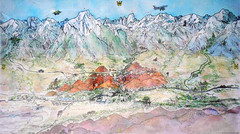
Lone Pine Map
Panorama tourist map of town of Lone Pine, California with surrounding area including the Alabama...
165 miles away
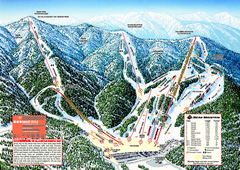
Bear Mountain Ski Trail Map
Official ski trail map of Bear Mountain ski area
165 miles away
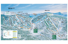
Brian Head Ski Trail Map
Official ski trail map of Brian Head ski area from the 2007-2008 season.
166 miles away

Snow Summit Ski Trail Map
Official ski trail map of Snow Summit ski area from the 2004-2005 season.
166 miles away
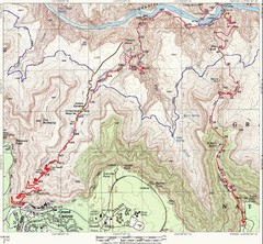
Grand Canyon Hiking Trail Map
Topo map of the Grand Canyon with a loop hike down the South Kaibab Trail and up Bright Angel Trail...
169 miles away
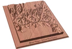
North Rim of the Grand Canyon carved by...
Grand Canyon carved by CarvedMaps.com. They specialize in hard wood carved maps of anywhere within...
169 miles away
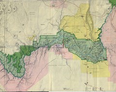
Grand Canyon National Park Map
Grand Canyon National Park including Kaibab National Forest and Coconino Plateau
170 miles away
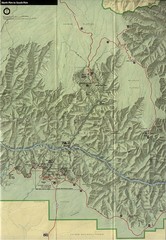
Grand Canyon National Park Map
170 miles away
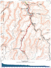
Grand Canyon Havasupai Campground Map
The Grand Canyon Havasupai Campground Map
170 miles away
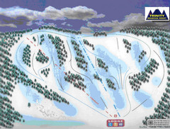
Trinity Mountain Resort Ski Trail Map
Trail map from Trinity Mountain Resort.
172 miles away

