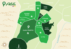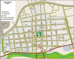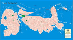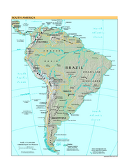
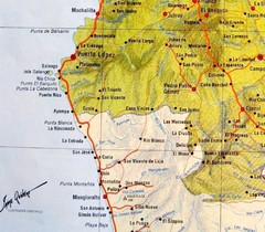
Peninsula de Santa Elena Map
954 miles away
ruta del sol Map
969 miles away
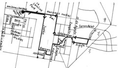
Quito Ecuador Townscape Walks Map
A book of hand-drawn maps with sketches for 12 great walks I designed in Quito, Ecuador.
978 miles away
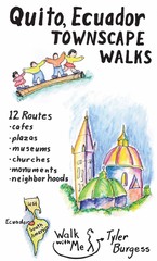
Quito Ecuador Townscape Walks Map
A book of hand-drawn maps with sketches for 12 great walks I designed in Quito, Ecuador.
978 miles away
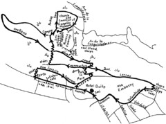
La Colina to Guapulo Map
Lovely walk from the hill top with wonderful views into the old neighborhood of Guapulo. 2.7 miles...
984 miles away
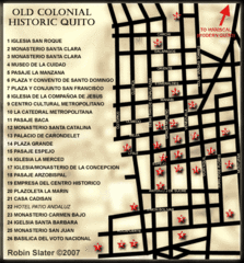
Old Colonial Historic Quito Map
Street map of Old Colonial area of Quito
984 miles away
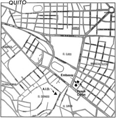
Quito, Ecuador Tourist Map
984 miles away
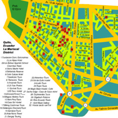
Mariscal District Quito Map
Tourist map of La Mariscal district of Quito
985 miles away
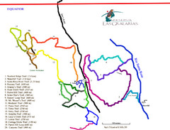
Reserva Las Gralarias Trail Map
1003 miles away
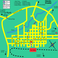
Otavalo City Map
1004 miles away
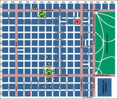
San Miguel de Tucuman City Map
Street map of downtown
1056 miles away
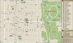
San Miguel de Tucuman Tourist Map
Tourist street map of downtown
1058 miles away
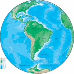
South America Globe Map
Guide to South America, in globe version, not flat
1061 miles away
Vallenar Tourist Map
Tourist map of town
1073 miles away
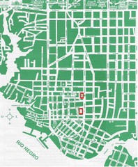
Manaus Center Map
Street map of city center
1102 miles away
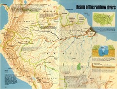
Amazon River Basin Map
From National Geographic Magazine
1103 miles away
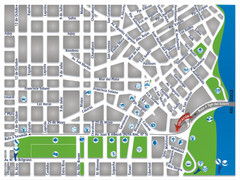
Termas De Rio Hondo Map
City street map
1109 miles away
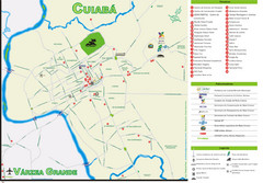
Cuiaba Tourist Map
Tourist street map of town
1114 miles away
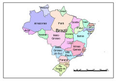
Brazil Map; Editable in Illustrator
Brazil Map, royalty free, fully editable with Illustrator. Mapsandlocations, a freelance company...
1127 miles away
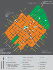
Santiago Del Estero Tourist Map
Tourist street map of city center
1144 miles away

Paraguay political Map
1148 miles away

Paraguay Map
1157 miles away
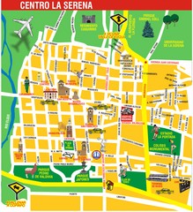
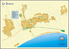
La Serena Center Tourist Map
Tourist map of city center
1161 miles away
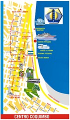
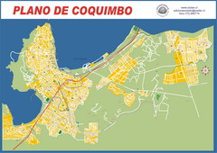
Coquimbo Center Touist Map
Tourist map of city center
1164 miles away

Paraguay Map
Map of Paraguay showing cities, roads, railroads and borders.
1166 miles away
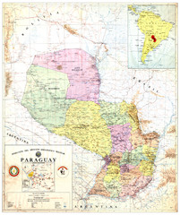
Official map of Paraguay
Official map of Paraguay, year 1993
1166 miles away
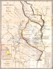
Wartime map of the Chaco
This 1933 map of the Chaco was made during the Chaco War between Paraguay and Bolivia and used by...
1166 miles away
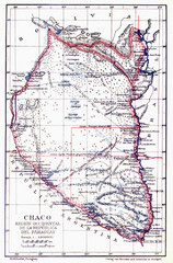
All the failed proposals to delimit the Chaco Map
Here you can see all the proposals to delimit the Chaco between 1879 and 1894. Everyone of them...
1166 miles away
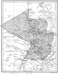
Map of Paraguay before the Chaco War
This is an internationally accepted map of Paraguay before the Chaco War (1932-35) made by Scottish...
1166 miles away
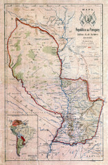
Map of Paraguay before the Chaco War
This dateless map of Paraguay that I scanned shows all the local claim over the Chaco (the northern...
1166 miles away
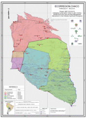
Ecological Region of the Chaco Map
This is the ecological Region of the Chaco shared between Paraguay and Bolivia
1166 miles away
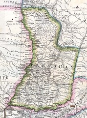
Paraguay Political Map 1875
Political map of Paraguay in 1875. Part of "Mapa Original de la Republica Argentina y Estados...
1166 miles away
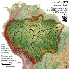
Amazon Basin Hydrosheds Map
Hydrosheds of the Amazon River Basin, the area drained by the Amazon River and its tributaries...
1174 miles away

