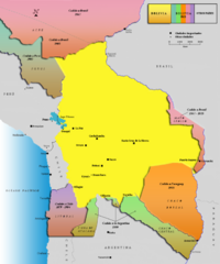
Alleged territorial losses of Bolivia Map v2.0
This another Bolivian map shows all the alleged territorial losses.
637 miles away
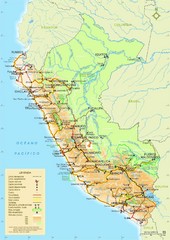
Western South America Tourist Map
647 miles away
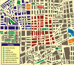
Chiclayo Tourist Map
Tourist map of downtown
665 miles away

The Amazon Tourist Map
The Amazon in South America
669 miles away
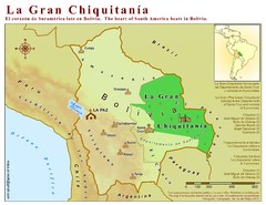
La Gran Chiquitania Map
Location map of the (Gran) Chiquitania region in Bolivia
684 miles away
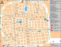
Santa Cruz Tourist Map
Tourist map of city center
701 miles away
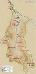
Rio de los Cipreses River Map
Rio de los Cipreses in Antofagasta, Chile
734 miles away
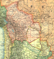
Bolivia and Paraguay in 1921 Map
1921 National Geographic Map of Bolivia and Paraguay before of the 1932-35 bloody war between those...
738 miles away
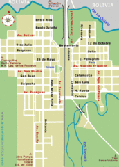
La Quiaca City Map
Street map of city
769 miles away
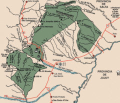
Calilegua National Park Map
Map of park with detail of various trails
777 miles away
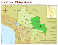
La Gran Chiquitania Map
786 miles away
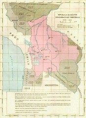
Alleged territorial losses of Bolivia Map
This Bolivian map shows all the alleged territorial losses.
814 miles away
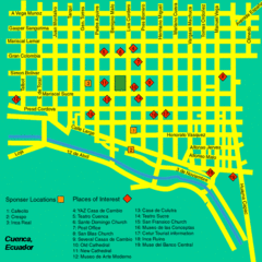
Cuenca Street Map
Streets and more are marked on this map and legend.
836 miles away
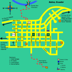
Banos Map
Simple map and legend of this small city.
837 miles away
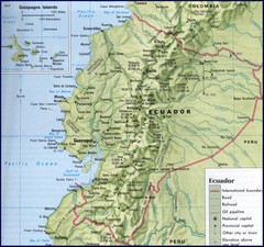
Ecuador Relief Map
844 miles away
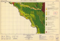
Forest Map of the Colombian Amazonia
860 miles away

Ecuador National Parks Map
872 miles away
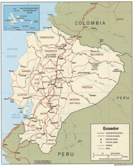
Ecuador Tourist Map
874 miles away
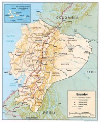
Ecuador map
Map of Ecuador showing provinces and capitols, major roads and rails
874 miles away

Parque Nacional Baritu Map
Map of park with detail of trails
878 miles away
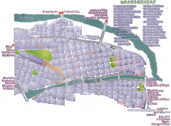
San Salvador de Jujuy Tourist Map
Tourist street map of downtown
898 miles away
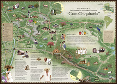
Chiquitania Region Tourist Map
Tourist map of the Mancomunidad Chiquitana or "Association of Chiquitano Peoples and...
905 miles away
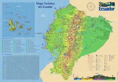
Ecuador Tourist Map
Detailed tourist map of Ecuador with inset of the Galapagos Islands. Shows National Parks and...
909 miles away
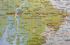
cerca de Guayaquil Map
909 miles away
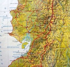
Relieve del Ecuador Map
910 miles away
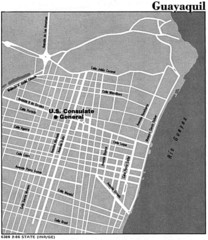
Guayaquil, Ecuador Tourist Map
910 miles away
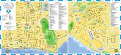
Guayaquil Tourist Map
Shows center and north sectors of Guayaquil, Ecuador. Shows points of interest. In Spanish.
911 miles away
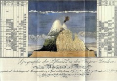
Humboldt's Scientific Representation of...
Alexander von Humboldt's scientific representation of the Chimborazo volcano in Ecuador...
916 miles away
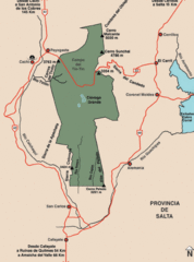
Los Cardones National Park Map
Map of park with detail of trails
926 miles away
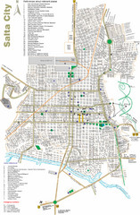
Salta Tourist Map
Tourist street map of Salta
929 miles away
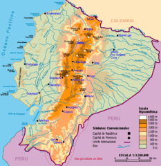
Ecuador Elevations Map
941 miles away
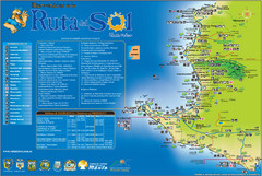
Ruta del Sol Tourist Map
Tourist map of the Ruta del Sol near Santa Elena, Ecuador. Shows points of interest
949 miles away
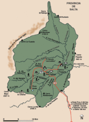
El Rey National Park Map
Map of park with detail of trails
951 miles away

