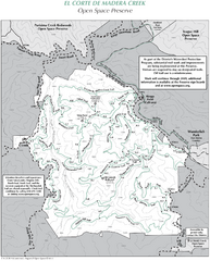
El Corte de Madera Open Space Preserve Map
Trail map of El Corte de Madera Open Space Preserve. Shows all mountain biking, hiking, and...
231 miles away
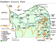
Huddart County Park Map
Trail map of Huddart County Park near Woodside, California.
232 miles away
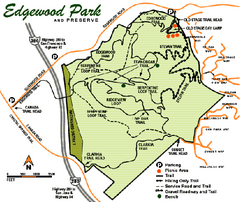
Edgewood County Park Trail Map
Trail map of Edgewood Park and Preserve in Redwood City, California.
232 miles away
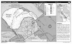
Phleger Estate Trail Map
Trail map of Phleger Estate, part of the Golden Gate National Recreation Area, in Woodside...
232 miles away
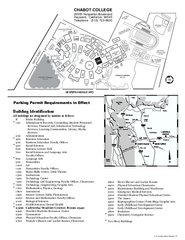
Chabot College Campus Map
Chabot College Campus Map. All buildings shown.
232 miles away
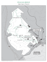
Pulgas Ridge Open Space Preserve Map
Trail map of Pulgas Ridge Open Space Preserve. 366 acres and 6 miles of trails
233 miles away
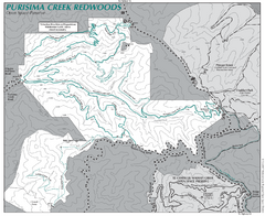
Purisima Open Space Preserve Map
Trail map of Purisima Open Space Preserve. Shows all mountain biking, hiking, and horseback riding...
234 miles away
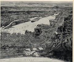
1936 San Francisco Bay Area Map Part 2
Guide to the San Francisco Bay Area, hand drawn over photograph
234 miles away
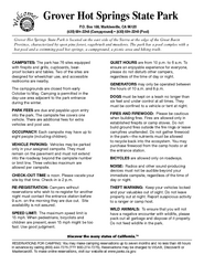
Grover Hot Springs State Park Campground Map
Map of park with detail of trails and recreation zones
235 miles away
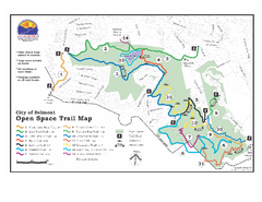
Water Dog Lake Park Trail Map
Trail map of Water Dog Lake Park. Open to mountain biking.
235 miles away
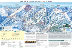
Kirkwood Ski Trail Map
Trail map from Kirkwood, which provides downhill, nordic, and terrain park skiing. It has 14 lifts...
236 miles away
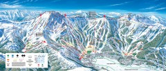
Kirkwood Ski Trail map 2006-07
Official ski trail map of Kirkwood ski area for the 2006-2007 season.
236 miles away
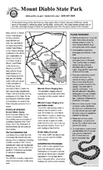
Mount Diablo State Park Campground Map
Map of park with detail of trails and recreation zones
236 miles away
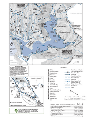
Lake Chabot Trail Map
236 miles away

1895 San Francisco Bay Area Map
Guide to the San Francisco Bay Area in 1895
237 miles away
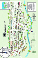
Walking Map of Downtown Danville, California
Tourist walking map of downtown Danville, California. Shows restaurants, shops, visitor's...
237 miles away
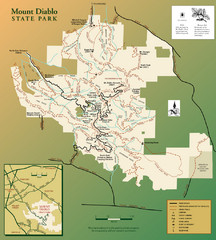
Mt. Diablo State Park Map
Trail map of Mt. Diablo State Park near Walnut Creek, CA
237 miles away
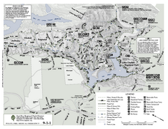
Anthony Chabot Regional Park Map - South
237 miles away

Rosarito Beach Map
237 miles away

San Mateo County Mid-County Trail Map
Trail map of mid-county trails in San Mateo County, California.
237 miles away
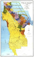
San Mateo County Map
Official county map of San Mateo, California. Scale 1"=5000'
238 miles away
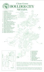
Boulder City Map
Map of Boulder City, Nevada. Shows points of interest and parks.
238 miles away
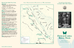
Fifield-Cahill Ridge Trail Map
Trail map and brochure of the Fifield-Cahill Ridge Trail in the San Francisco Peninsula Watershed.
240 miles away
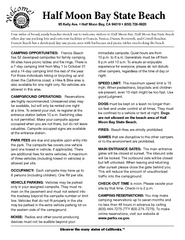
Half Moon Bay State Beach Campground Map
Map of beach with detail of trails and recreation zones
240 miles away
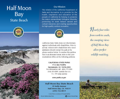
Half Moon Bay State Beach Map
Map of beach with detail of trails and recreation zones
240 miles away
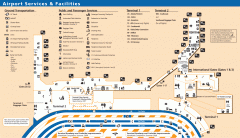
Oakland International Airport (OAK) Map
Terminal map. Shows all airport services and facilities
240 miles away
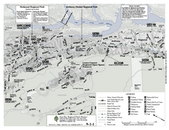
Anthony Chabot Regional Park Map - North
Trail map of the north section of Anthony Chabot Regional Park in the East Bay Hills.
240 miles away
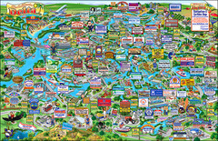
California Delta Boaters Map & Visitors Guide
Map of the California Delta, the Most Current, Legible and Unique Delta Navigation Map to date. Our...
240 miles away
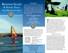
Brannan Island & Franks Tract State...
Map of park with detail of trails and recreation zones
241 miles away
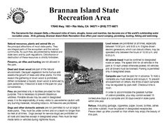
Brannan Island Campground Map
Map of park with detail of trails and recreation zones
241 miles away
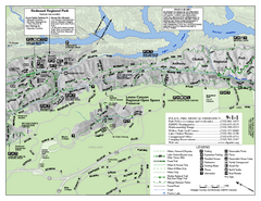
Leona Canyon Regional Open Space Preserve Map
241 miles away
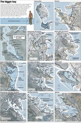
San Francisco Sea Level Rise Map
Guide to the San Francisco Bay Area, and the areas that will be underwater if there is a 1 meter...
241 miles away
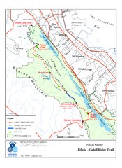
Fifield-Cahill Ridge Trail Map
Trail map of the Fifield-Cahill Ridge Trail in the San Francisco Peninsula Watershed.
241 miles away
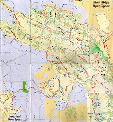
Shell Ridge Open Space Trail Map
Trail map of Shell Ridge Open Space, Walnut Creek's largest open space unit, with trails for...
241 miles away
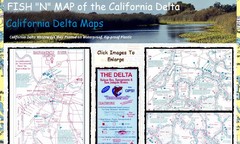
California Delta Maps Map
FISH "N" MAP of the California Delta. Navigation Map with GPS Locations. Printed on...
243 miles away
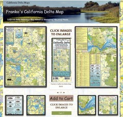
California Delta Maps Map
The "BEST" Navigational Maps of the California Delta. Franko's California...
243 miles away
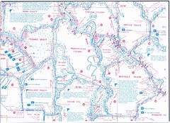
California Delta Maps/Fish "N" Map
The Delta including Suisun Bay, Sacramento & San Joaquin Rivers 10 Foot Underwater Depth...
243 miles away
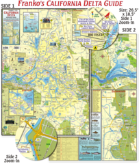
California Delta Maps Map
The "BEST" California Delta Boating, Navigation & Visitors Maps. Printed on Rip-Proof...
243 miles away
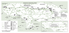
Redwood Regional Park Map
Trail map of Redwood Regional Park in Oakland, California. Shows hiking, horse, and bike trails.
243 miles away

