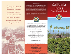
California Citrus State Park Map
Overview map of park with detail of trails and recreation zones
133 miles away
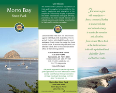
Morro Bay State Park Map
Map of park with detail of trails and recreation zones
134 miles away
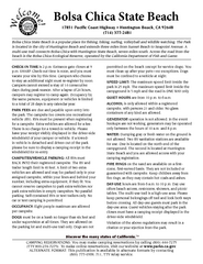
Bolsa Chica State Beach Map
Map of park with detail of of trails and recreation zones
135 miles away

Lake mathews geologic map
136 miles away
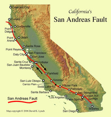
San Andreas Fault, California Map
136 miles away

California Bio-science Company Map
Shows logos of biotech companies in California from San Francisco to San Diego.
141 miles away

Hoag Hospital Map
Campus map
141 miles away

Limestone Canyon & Whiting Ranch Wilderness...
142 miles away
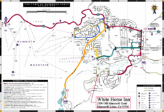
Mammoth Town Map
Town of Mammoth Lakes with shuttle lines included
142 miles away
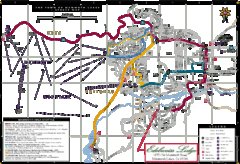
Mammoth Town Map
Map of Mammoth, including shuttle lines
142 miles away
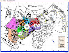
University of California at Irvine Map
University of California at Irvine Campus Map. All areas shown.
142 miles away

Mammoth Mountain Downhill Skiing Trails Map
Downhill skiing trails on Mammoth Mountain, near Mammoth Lakes, California. Shows trails and their...
143 miles away
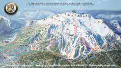
Mammoth Mountain Ski Trail map 2005
Official ski trail map of Mammoth Mountain ski area from the 2005-2006 season.
143 miles away
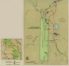
Devil's Postpile National Monument Map
143 miles away
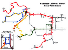
Mammoth Transit Map
Map of Mammoth transit system
143 miles away
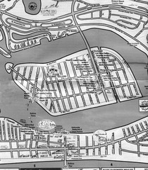
Balboa Island 2007 approx. Map
143 miles away
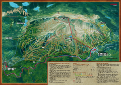
Mammoth Mountain Bike Park Map
Shows all trails at the Mammoth Mountain Bike Park.
143 miles away

Mammoth Mountain Ski Trail Map
Trail map from Mammoth Mountain, which provides downhill, nordic, and terrain park skiing. It has...
143 miles away
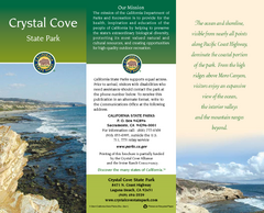
Crystal Cove State Park Map
Map of park with detail of trails and recreation zones
146 miles away
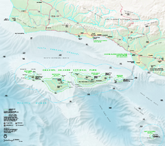
Channel Islands National Park Official Park Map
Official NPS map of Channel Islands National Park in California. Channel Islands National Park...
148 miles away
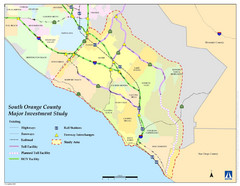
Orange County Map
148 miles away
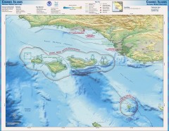
Channel Islands National Marine Sanctuary Map
Topo and bathymetric map of Channel Islands National Marine Sanctuary, located about 23 miles from...
148 miles away
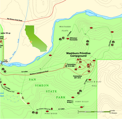
San Simeon State Park East Map
Map of east region of park with detail of trails and recreation zones
148 miles away

San Simeon State Park Map
Map of park with detail of trails and recreation zones
149 miles away
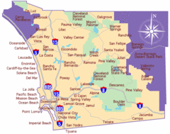
Laguna Beach Tourist Map
149 miles away
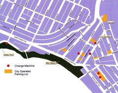
Downtown Laguna Beach Tourist Map
149 miles away
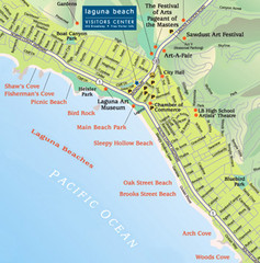
Laguna Beach Tourist Map
149 miles away
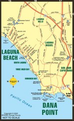
Laguna Beach Tourist Map
149 miles away
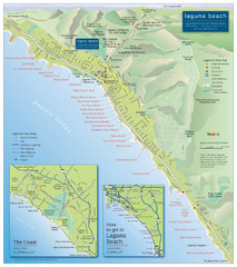
Laguna Beach Tourist Map
149 miles away
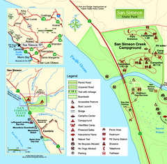
San Simeon State Park West Map
Map of west region of park with detail of trails and recreation zones
149 miles away

General Thomas F. Riley Wilderness Park Map
150 miles away
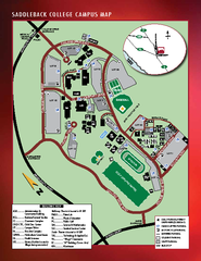
Saddleback College Map
150 miles away
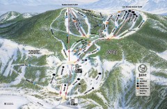
June Mountain Ski Trail Map
Official ski trail map of June Mountain ski area from the 2007-2008 season.
151 miles away
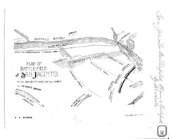
The Battle of San Jacinto, Texas Historical Map
152 miles away

Relative Motion of Pacific and North American...
Diagram illustrating the plate-tectonic setting of southern California (image source: USGS general...
152 miles away
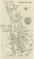
San Juan Capistrano walking tour Map
Architectural walking tour map of San Juan Capistrano, California.
153 miles away
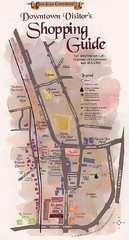
San Juan Capistrano Shopping Center Guide Map
154 miles away
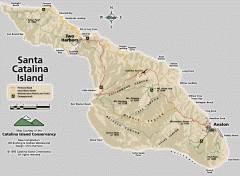
Santa Catalina Island road and trail map
Shows all roads, trails, and campgrounds on Santa Catalina Island.
154 miles away
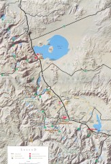
Eastern Sierra Trailhead Map - Lee Vining and...
Shows ranger stations and major trailheads in the eastern Sierra Nevada in the Mono Lake and...
155 miles away


