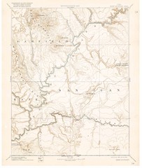
Henry Mtns Topo Map, circa 1892
One of a set of four maps circa 1890s by USGS depicting the area around the Henry Mtns and Capitol...
455 miles away
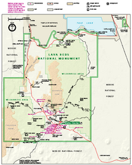
Lava Beds National Monument official park map
Official park map of Lava Beds National Monument. Shows trails, roads, cave entrances, and lava...
456 miles away
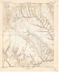
Topo Map of Escalante Quadrant, UT circa 1886
One of four USGS maps detailing the area around Capitol Reef National Park and Glen Canyon circa...
457 miles away
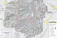
Utha Arapeen OHV Trail System- South Map
Utah Arapeen OHV Trail System map. Located near the towns of Fairview, Ephraim, and Manti, Utah.
457 miles away
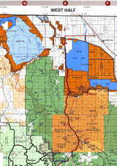
Modoc National Park Map
Visitor Map of Modoc National Park--Western Part. Includes the parameters of the Lava Beds...
463 miles away

Lakeview Oregon Road Map
465 miles away
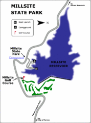
Millsite State Park Map
Camp in the quiet campground, and boat and fish on the blue waters of Millsite Reservoir. Play 18...
467 miles away
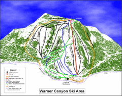
Warner Canyon Ski Trail Map
Trail map from Warner Canyon, which provides downhill skiing.
468 miles away

Kitt Peak National Observatory Map
469 miles away
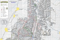
Utah Arapeen OHV Trail System- North Map
The Utah Arapeen OHV Trail System located in near the Towns of Fairview, Ephraim, and Mant, Utah.
470 miles away
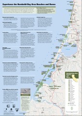
Humboldt Bay Area Beaches and Dunes Map
Humboldt Bay Beaches & Dunes Map & Guide
471 miles away
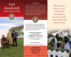
Fort Humboldt State Historic Park Map
Map of park with detail of trails and recreation zones
473 miles away
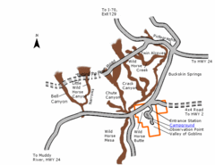
Goblin Valley State Park Map
The vast landscape of sandstone goblins may have visitors wondering if they're in Mars or Utah...
473 miles away
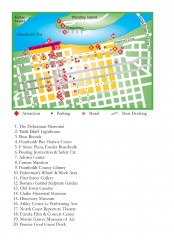
Old Town, Eureka, California Map
Tourist map of the Old Town area of Eureka, California. Shows various attractions including murals...
473 miles away
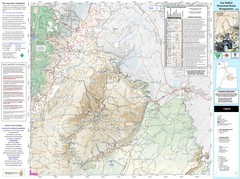
San Rafael, Utah Trail Map
Trails and main roads near Manti-LaSal National Forest and Castle Dale in Emery County, Utah
478 miles away
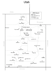
Utah Airports Map
479 miles away
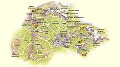
Arizona-Sonora Desert Museum Map
480 miles away
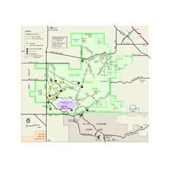
Saguaro National Park Official Park Map
Official NPS map of Saguaro National Park in Arizona. Map shows all areas. Both districts of the...
481 miles away
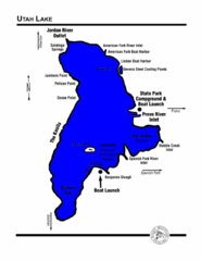
Utah Lake Map
482 miles away
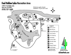
Fool Hollow Lake Recreation Area Map
Map of recreation area with detail of trails and recreation zones
485 miles away
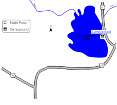
Huntington Lake State Park Map
Take a hike around this beautiful lake.
487 miles away
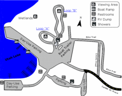
Utah Lake State Park Map
Utah's largest freshwater lake provides fishing access for channel catfish, walleye, white...
487 miles away

Redwood National Park Map
487 miles away

Steens Mountain Topo Map
Topography map of the east side of Steens mountain in Oregon.
489 miles away
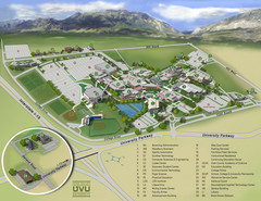
Utah Valley University Map
Campus map
489 miles away
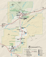
Petrified Forest National Park Official Park Map
Official NPS map of Petrified Forest National Park in Arizona. Open year round except Christmas...
490 miles away
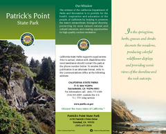
Patrick's Point State Park Map
Map of park with detail of trails and recreation zones
490 miles away
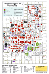
University of Arizona Campus Map
Campus map of the University of Arizona. All buildings shown.
490 miles away
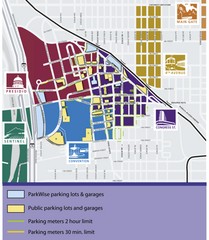
Tuscon Map
Parking garages, lots, and meters in Tuscon.
491 miles away

BTS Route Map
Map of BTS bus routes throughout Klamath Falls
491 miles away
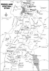
Provo, Utah City Map
491 miles away
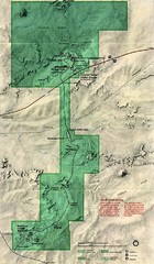
Petrified Forest Map
Map of the Petrified Forest, Painted Desert and Rainbow Forest. Shows all roads, tourist...
491 miles away
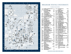
Brigham Young University Map
Campus Map of Brigham Young University in Utah. All buildings shown.
491 miles away
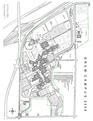
Utah Valley State University Map
Utah Valley State University. All areas shown.
491 miles away
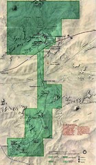
Petrified Forest National Park Map
Petrified Forest National Park Map with trails, vistiors centers and park area marked.
491 miles away
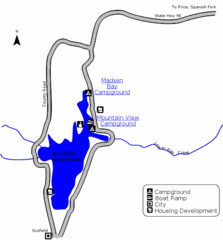
Scofield State Park Map
Camp, boat, and fish at this summer and winter recreation destination situated high in the Manti...
491 miles away
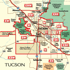
Tucson, Arizona City Map
491 miles away
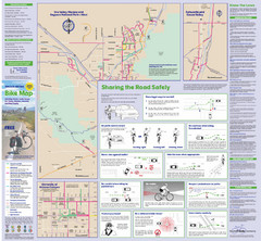
Tuscon Metro Bike Map (Back)
491 miles away
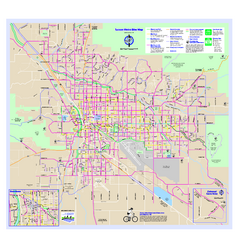
Tucson Metro Bike Map
Bike route map of the city of Tucson, Arizona.
491 miles away

