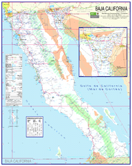
Baja California Map - North
Detailed road map of the state of northern Baja California. In Spanish.
421 miles away
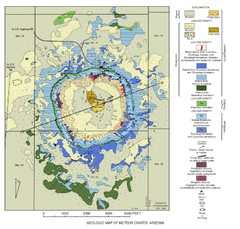
Meteor Crater Geologic Map
422 miles away
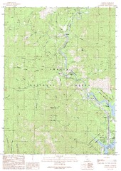
Lamoine Quad - Shasta Lake Map
Topographic map, Lamoine Quadrangle, California 1990. Area of map includes a portion of Shasta Lake...
423 miles away
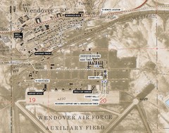
Wendover Air Base Map
428 miles away
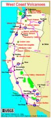
Major West Coast Volcanoes (Washington, Oregon...
429 miles away
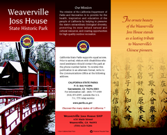
Weaverville Joss House State Historic Park Map
Map of park with detail of trails and recreation zones
429 miles away
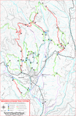
Weaverville Basin Trail System Map
Guide to trails near Weaverville, CA
429 miles away

Metropolis Nevada Ghost Town Map
430 miles away

Hopi Reservation Map
Hopi Reservation locations in Arizona
431 miles away
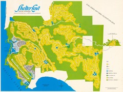
Shelter Cove Map
Shelter Cove Subdivision Map. Shows all streets, houses, commercial buildings, gas stations, and...
432 miles away
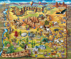
Arizona Fun Map
433 miles away
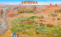
Northern Arizona attractions Map
433 miles away
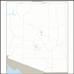
Arizona Zip Code Map
Check out this Zip code map and every other state and county zip code map zipcodeguy.com.
433 miles away
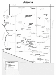
Arizona Airports Map
433 miles away
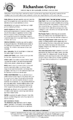
Richardson Grove State Park Campground Map
Map of campground region of park with detail of trails and recreation zones
436 miles away
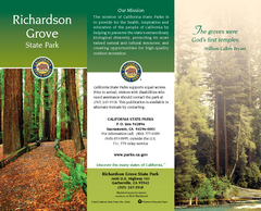
Richardson Grove State Park Map
Map of park with detail of trails and recreation zones
436 miles away
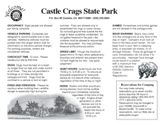
Castle Crags State Park Map
Map of park with detail of trails and recreation zones
436 miles away
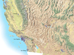
Southwest USA topo Map
437 miles away
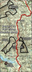
Desert to Tall Pines Scenic Byway Map
A much better map of the Desert to Tall Pines Scenic Byway. Unfortunately does not give hiking...
439 miles away
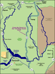
From the Desert to the Tall Pines Scenic Byway Map
Desert to Tall Pines Scenic Byway. This is the Scenic Byways official name. This is not a very...
439 miles away
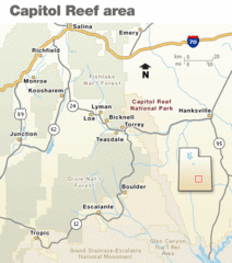
Capitol Reef National Park Map
Clear map marking major highways and cities.
439 miles away
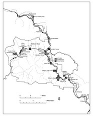
Humboldt Redwoods State Park Map
Park map of Humboldt Redwoods State Park, California. Shows Avenue of the Giants, trailheads and...
439 miles away
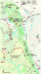
Capitol Reef National Park Official Map
Official NPS map of Capitol Reef National Park in Utah. Map shows all areas. The park and...
439 miles away
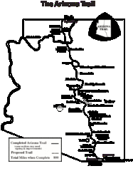
Arizona Trail Progress Map
Basic outline map of Arizona Trail. Other Maps available through BLM. There are links at the...
439 miles away

Bonneville Salt Flats International Speedway Map
441 miles away
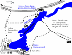
Yuba State Park Map
The sprawling waters of Yuba State Park provide a variety of recreation opportunities for visitors...
441 miles away
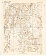
Topo Map of Capitol Reef Region (Fish Lake Quad...
This is one of four USGS maps done by the Powell survey and depicting the area around Capitol Reef...
442 miles away
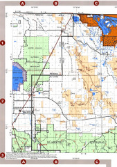
Modoc National Forest Map
Forest Visitor Map of the western most part of Modoc National Park. Includes county boundaries...
442 miles away
2004 Migrant Deaths, Water Station and Resue...
Deaths by type identified by location on map along with land management owner.
442 miles away
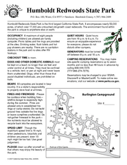
Humboldt Redwoods State Park Campground Map
Map of campground region park with detail of trails and recreation zones
443 miles away
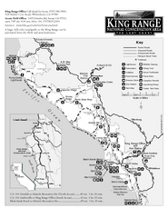
King Range National Conservation Area Trail Map
Trail map of the King Range National Conservation Area, home of the Lost Coast, California. Shows...
443 miles away
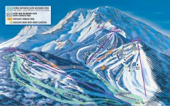
Mt. Shasta Ski Park Ski Trail Map
Official ski trail map of Mount Shasta Ski Park ski area
443 miles away
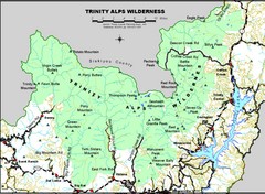
Trinity Alps Wilderness Map
Overview map of the Trinity Alps Wilderness near Weaverville, CA
445 miles away
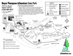
Boyce Thompson Arboretum State Park Map
Nice arboretum with lots of desert plants.
447 miles away
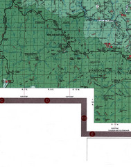
Klamath National Forest Map
Visitor Map of Klamath, eastern part of the forest, includes all roads, camp grounds, creeks, and...
448 miles away
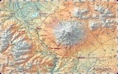
Mt. Shasta Scenic Area map
Great map of the Mt. Shasta region. Shows roads (including 4WD), mountains, lakes, and hiking...
449 miles away

Theodore Roosevelt Lake Recreation Sites Map
Multiple camping, hiking, climbing and road sites.
452 miles away
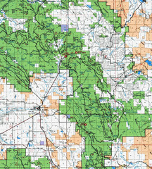
Clip10 Map
Visitor Maps of Modoc National Park, eastern part of the park includes all roads, camping areas...
454 miles away
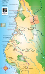
Humboldt County, California Map
Tourist map of Humboldt County, California. Shows parks, wildlife refuges, visitor centers, and...
455 miles away
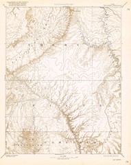
Topo Map of San Rafael Quadrant circa 1885
This is one of four USGS maps from the 1880's and 90's depicting the area around the...
455 miles away

