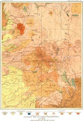
Lassen Peak District Geological Map
Geologic map of the Lassen Peak area in Lassen National Park, California. Shows sedimentary rock...
376 miles away
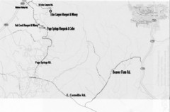
Central Arizona Wineries Map
376 miles away

Bryce Canyon Official Park Map
Official NPS map of Bryce Canyon National Park in Utah. Map shows all areas. The park is open 24...
377 miles away
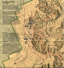
Brycec Canyon National Park Map
377 miles away
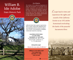
William B. Ide Adobe State Historic Park Map
Map of park with detail of trails and recreation zones
377 miles away
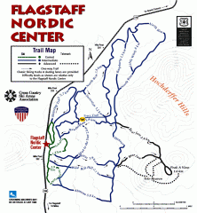
Flagstaff Nordic Center Trail Map
Official ski trail map of Flagstaff Nordic Center
378 miles away
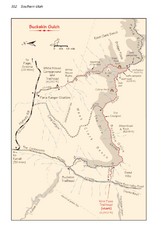
Buckskin Gulch Trail Map
Guide to Buckskin Gulch, the longest slot canyon in the US
379 miles away
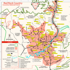
Red Rock County Trail Map
Trail map of trails of Red Rock County, AZ around Sedona, AZ. Shows trailheads and trail names.
379 miles away
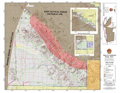
Barry M. Goldwater Range Topographical Map
Map showing detailed information about the Barry M. Goldwater Range, Sauceda and Sand Tank...
381 miles away

Arizona Snowbowl Ski Trail Map
Official ski trail map of Arizona Snowbowl ski area
382 miles away

University Of Phoenix Stadium Map
One of the most amazing stadiums, with the first fully retractable natural grass playing surface...
382 miles away
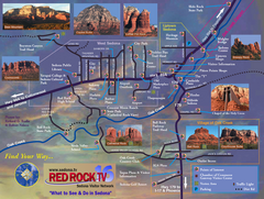
Sedona Tourist Map
Tourist map of Sedona, AZ. Shows points of interest and photos of local red rock formations and...
382 miles away
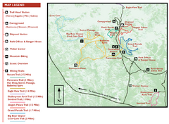
Kodachrome Basin State Park Map
Trail map of Kodachrome Basin State Park, Utah. Shows hiking trails and park facilities.
383 miles away
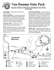
Van Damme State Park Campground Map
Map of campground region of park with detail of trails and recreation zones
384 miles away
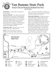
Van Damme State Park Campground Map
Map of campground region of park with detail of trails and recreation zones
384 miles away
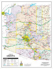
Arizona State Road Map
Arizona state road map
384 miles away
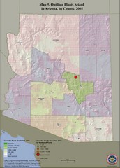
Cannabis Seized in Arizona Map 2005
Shows outdoor plants and sites seized in Arizona, by county, in 2005.
384 miles away
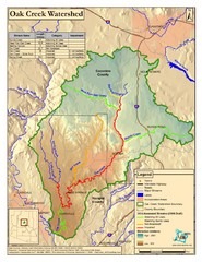
Oak Creek Watershed Map
Colorful Map of Oak Creek Watershed. Includes detailed information about the watershed, roads...
385 miles away

Van Damme State Park Map
Park map of Van Damme State Park near Mendocino, California. Show Fern Valley Trail through...
385 miles away
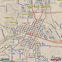
Flagstaff, Arizona City Map
386 miles away
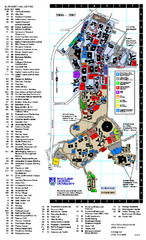
Northern Arizona University Map
Northern Arizona University Campus Map. All buildings shown.
386 miles away
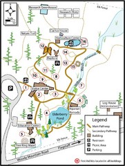
Flagstaff Arboretum Map
386 miles away
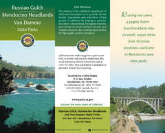
Mendocino Headlands State Parks Map
Map of parks with detail of trails and recreation zones
386 miles away
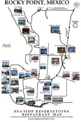
Rocky Point, New Mexico Restaurants Map
386 miles away
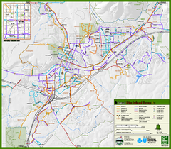
Flagstaff Urban Trails and Bikeways Map
387 miles away
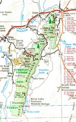
Ruby Mountains Area Map
Included are the communities of Elko, Wells, Deeth, Jiggs, Lee, Lamoille and Spring Creek. Some...
387 miles away
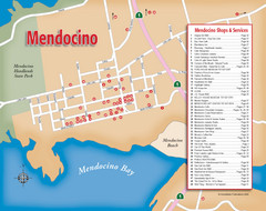
Mendocino Tourist Map
Tourist map of town of Mendocino, California. Shows shops and services.
388 miles away
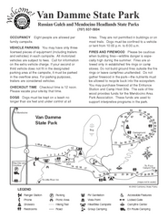
Russian Gulch State Park Campground Map
Map of campground region of park with detail of trails and recreation zones
388 miles away
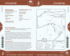
Little Elden Trail Map
Guide to Little Elden Trail near Flagstaff, AZ
388 miles away
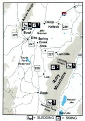
Skiing and Sledding in Elko County, Nevada Map
Map of skiing and sledding opportunities in Elko County, Nevada, showing skiing and sledding...
389 miles away
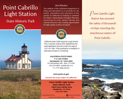
Point Cabrillo Light Station State Historic Park...
Map of park with detail of trails and recreation zones
391 miles away
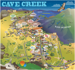
Cave Creek, Arizona Map
391 miles away
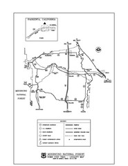
Mendocino National Forest map
Map of the Nome Cult Trail Walk in the Mendocino National Forest.
391 miles away
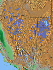
Pleisocene Lakes of western U.S. Map
392 miles away

Pacific Crest Trail Map
Shows entire route of 2,650 mile Pacific Crest Trail from Mexico to Canada.
393 miles away

Phoenix, Arizona City Map
394 miles away
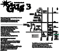
Glendale Urban Shuttle 3 Map
394 miles away
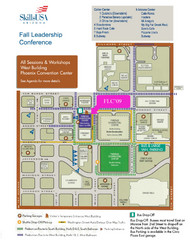
Central Phoenix, Arizona Restaurant Map
394 miles away
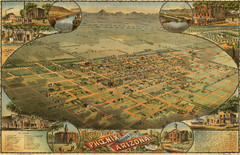
Dyer’s Birdseye view of Phoenix (1885) Map
C.J. Dyer's beautiful birdseye map of Phoenix in 1885.
394 miles away

