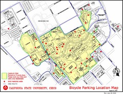
California State University, Chico Bike Parking...
Map that highlights all the available bike parking area and bike routes throughout the campus and...
339 miles away
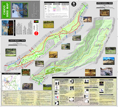
Upper and Lower Bidwell Park Bike Map
Bike map of Upper Bidwell Park and Lower Bidwell Park in Chico, California
339 miles away

Chico, California City Map
340 miles away
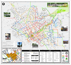
Chico Bike Map
Bicycle route map of Chico, California
340 miles away
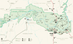
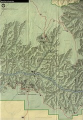
Grand Canyon National Park map
Official map of Grand Canyon National Park. Currently not available on the NPS website
341 miles away
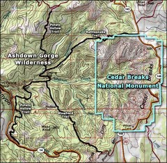
Topo Map of Ashdown Gorge Wilderness, including...
Cedar Breaks is similar to Bryce Canyon in many ways, but is more of an amphitheater than a canyon...
342 miles away
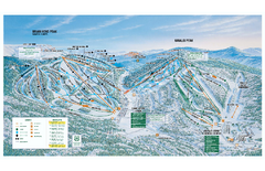
Brian Head Ski Trail Map
Official ski trail map of Brian Head ski area from the 2007-2008 season.
344 miles away
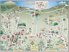
Prescott tourist map
Tourist and business map of Prescott, Arizona. Shows all businesses in the tri-city area.
348 miles away
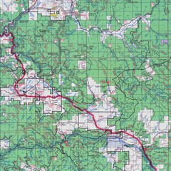
Lassen National Park Map
Forest Visitor Map showing locations of most camping and recreational areas in the eastern part of...
348 miles away
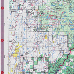
Lassen National Park Map
Visitor Map that shows most of Lassen National Forest with locations of camp grounds and...
348 miles away
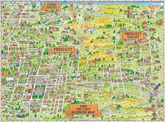
Prescott Prescott Valley and Chino Valley Tourist...
Tri-city tourist map of Prescott, Arizona, Prescott Valley, Arizona, and Chino Valley, Arizona...
348 miles away
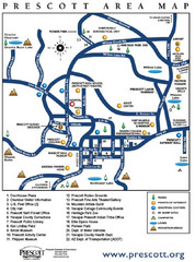
Prescott Area Map
349 miles away
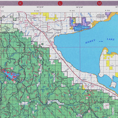
Lassen National Park Map
Forest Visitor Map of the farthest east of the park, shows all camping and recreational areas and...
349 miles away
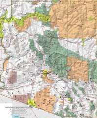
Arizona Prominance Map
Prominant peaks are marked by flags in 4 categories according to elevation.
349 miles away
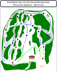
Elk Ridge Ski Trail Map
Trail map from Elk Ridge, which provides downhill skiing. It has 2 lifts servicing 7 runs; the...
355 miles away
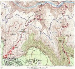
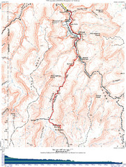
Grand Canyon Hiking Trail Map
Topo map of the Grand Canyon with a loop hike down the South Kaibab Trail and up Bright Angel Trail...
357 miles away
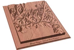
North Rim of the Grand Canyon carved by...
Grand Canyon carved by CarvedMaps.com. They specialize in hard wood carved maps of anywhere within...
357 miles away
Grand Canyon National Park Map
358 miles away
Grand Canyon Havasupai Campground Map
The Grand Canyon Havasupai Campground Map
358 miles away

Burning Map 2005 Map
Artistic representation of Burning Man's Black Rock City.
359 miles away
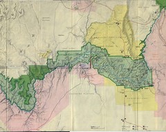
Grand Canyon National Park Map
Grand Canyon National Park including Kaibab National Forest and Coconino Plateau
360 miles away

Philo Wine Map
Shows wineries great for wine tasting in the Anderson Valley along Route 128 in Philo California.
363 miles away
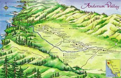
Anderson Valley Wine Map
Shows wineries/vineyards in Anderson Valley, California along Route 128 from Navarro, California to...
363 miles away
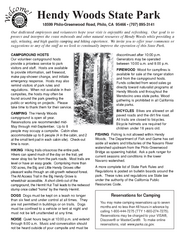
Hendy Woods State Park Campground Map
Map of campground region park with detail of trails and recreation zones
364 miles away
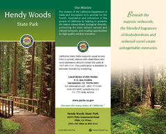
Hendy Woods State Park Map
Map of park with detail of trails and recreation zones
364 miles away
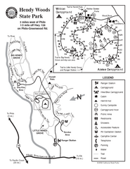
Hendy Woods State Park Map
Park map of Hendy Woods State Park in Philo, California. Shows trails, campgrounds, and other...
364 miles away
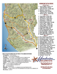
Mendocino Beer and Wine Tasting Map
Beer and wine tasting map of Mendocino county, California. Show breweries and wineries on the...
365 miles away
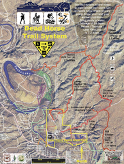
Dead Horse Trail System Map
Trail map of area surrounding Dead Horse State Park in Clarkdale, Arizona
369 miles away
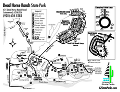
Dead Horse Ranch State Park Map
Map of park with detail of trails and recreation zones
370 miles away
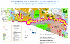
Migrant Deaths along US Border - California and...
Map shows locations of migrant deaths from 2000-2004 along the US-Mexican border in California and...
370 miles away
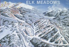
Elk Meadows Resort Ski Trail Map
Trail map from Elk Meadows Resort.
371 miles away
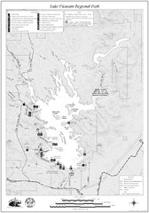
Lake Pleasant Regional Park Map
372 miles away
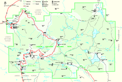
Lassen Volcanic National Park Official Park Map
Official NPS map of Lassen Volcanic National Park in California. Map shows all areas. Lassen...
373 miles away
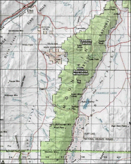
Ruby Mountains Wilderness Map
Overview map of Ruby Mountains Wilderness and Lamoille Canyon
373 miles away
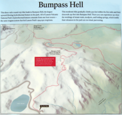
Bumpass Hell Trail Map
Trail map of route to Bumpass Hell, a major area of geo-thermal activity in Lassen National Park...
373 miles away
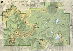
Lassen Volcanic National Park Map
375 miles away
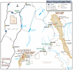
Bryce Canyon National Park Map
Roads, highways, rivers and points of interest are clearly marked on this simple map.
375 miles away
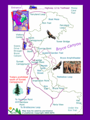
Bryce Canyon National Park Trails Map
375 miles away

Bryce Canyon National Park Map
375 miles away
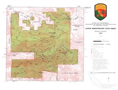
Latour State Forest Map
Countour map of the Latour Demonstration Forest.
375 miles away

