Annadel State Park Map
Map of park with detail of trails and recreation zones
300 miles away
Bothe-Napa Valley State Park Map
Map of park with detail of of trails and recreation zones
302 miles away
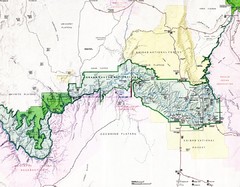
Grand Canyon Map
Guide to the Grand Canyon National Park
302 miles away
Tomales Bay State Park Map
Map of park with detail of trails and recreation zones
303 miles away
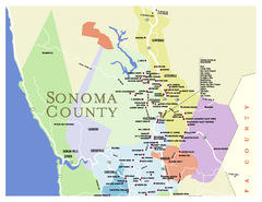
Wineries in Sonoma County, California Map
Map of winery locations in Sonoma County, California. Shows wineries, tasting rooms, and valleys of...
303 miles away
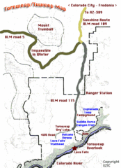
Toroweap Park Map
304 miles away
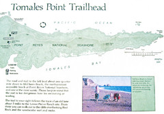
Tomales Point Trail Map
Map of the trail to Tomales Point in Point Reyes National Seashore, California. Also shows trail...
306 miles away
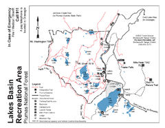
Lakes Basin Recreation Area Trail Map
Trail map of Lakes Basin Recreation Area in Plumas National Forest near Graeagle, California...
307 miles away

Sebastopol Map
Map of Sebastopol and surrounding towns.
310 miles away
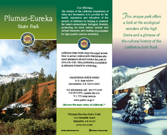
Plumas-Eureka State Park Map
Map of park with detail of trails and recreation zones
311 miles away
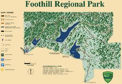
Foothill Regional Park Map
Park map of Foothill Regional Park in Sonoma County, California. Shows trails and 3 lakes.
313 miles away
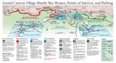
Grand Canyon Shuttle Bus Map
Guide to shuttle bus routes, points of interest and parking in Grand Canyon National Park
314 miles away
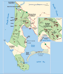
Bodega Bay Park Map
Park map of the Sonoma Coast State Beach park lands in Bodega Bay, California. Shows roads, trails...
315 miles away
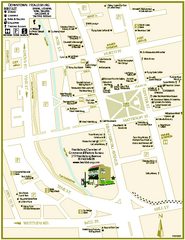
Downtown Healdsburg, California Map
Tourist maps of downtown Healdsburg, California. First map shows restaurants, galleries, wine...
319 miles away
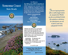
Sonoma Coast State Beach Map
Map of beach and park with detail of trails and recreation zones
320 miles away
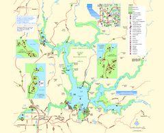
Lake Oroville State Recreation Area Map
Map of recreation area with detail of trails and recreation zones
320 miles away
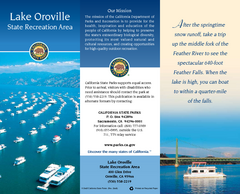
Lake Oroville State Recreation Area Map
Map of recreation area with detail of trails and recreation zones
321 miles away
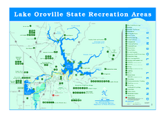
Lake Oroville State Recreation Area Map
Recreation overview map of Lake Oroville State Recreation Area near Oroville, California. Show all...
321 miles away

Nevada Map
322 miles away

Zion Canyon Map
A detailed map of the Zion Canyon in Zion National Park
324 miles away
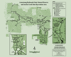
Armstrong Redwoods State Natural Reserve Map and...
Park map of Armstrong Redwoods State Natural Reserve and Austin Creek State Recreation Area in...
324 miles away
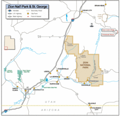
Zion National Park Highway Map
Highways, roads, cities and points of interest are marked on this clear map.
325 miles away
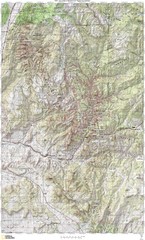
Zion National Park Topography Map
325 miles away
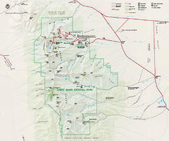
Great Basin National Park Map
Official NPS park map of Great Basin National Park. Shows all roads, trails, and facilities...
325 miles away
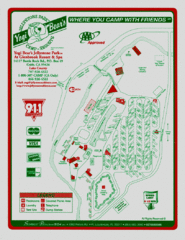
Jellystone Park at Glebrook Resort & Spa Map
325 miles away
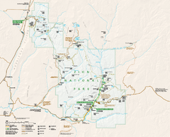
Zion National Park Official map
Official park map of Zion National Park. Shows trails, roads, and all park facilities.
326 miles away
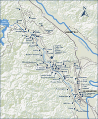
Dry Creek Valley Wineries, California Map
Map of wineries in Dry Creek Valley, California. Shows wineries and roads.
327 miles away
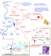
Zion National Park Trails Map
327 miles away
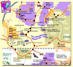
Zion National Park Tourist Map
328 miles away
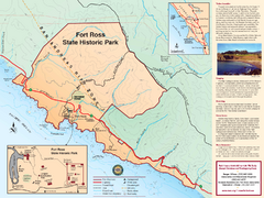
Fort Ross State Historic Park Map
Map of park with detail of trails and recreation zones
331 miles away
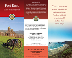
Fort Ross State Historic Park Map
Map of park with detail of trails and recreation zones
331 miles away
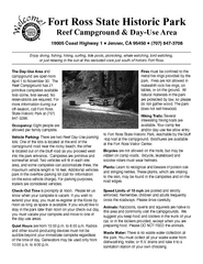
Fort Ross State Historic Park Campground Map
Map of park with detail of trails and recreation zones
331 miles away
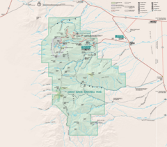
Great Basin National Park Map
331 miles away
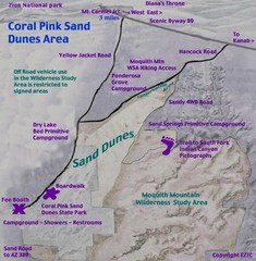
Coral Pink Sand Dunes Map
332 miles away
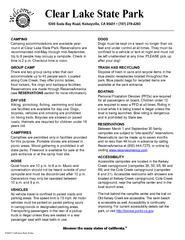
Clear Lake State Park Campground Map
Map of park with detail of trails and recreation zones
334 miles away
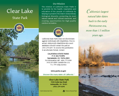
Clear Lake State Park Map
Map of park with detail of trails and recreation zones
334 miles away
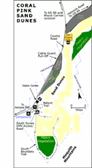
Coral Pink Sand Dunes State Park Map
Rippling arcs of rust-colored sand welcome you as you enter Coral Pink Sand Dunes State Park...
335 miles away
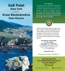
Salt Point State Park Map
Map of park with detail of trails and recreation zones
336 miles away
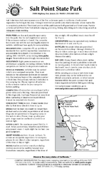
Salt Point State Park Campground Map
Map of campground region of park with detail of trails and recreation zones
336 miles away
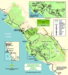
Salt Point State Park Map
Topo park map of Salt Point State Park and Kruse Rhododendron State Reserve. Shows trails by use...
337 miles away

