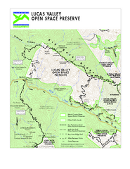
Lucas Valley Open Space Preserve Map
283 miles away
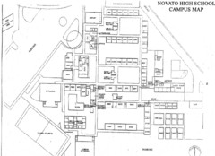
Novato High School Campus Map
284 miles away
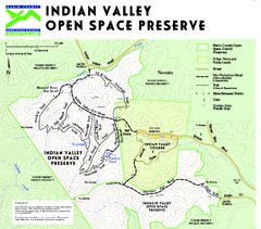
Indian Valley Open Space Preserve Map
284 miles away
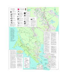
Marin Bicycle Map - Side B
Bike route map of Marin County, California. Shows primary and secondary road routes, paved and...
285 miles away
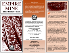
Empire Mine State Historic Park Map
Map of park with detail of trails and recreation zones
286 miles away
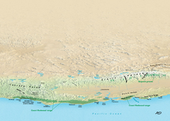
California Redwood Range Map
NPS prospective map of the coastal redwoord range in California, extending from Santa Cruz north to...
286 miles away

Map of the Baja Wine Country
287 miles away
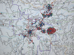
Nevada County Economic Resource Council Activity...
The ERC supports many different businesses in western Nevada County. We provide business assistance...
287 miles away

Mt. Burdell Open Space Preserve Map
Trail map of Mt. Burdell Open Space Preserve and Olompali State Historic Park in Novato, Marin...
287 miles away
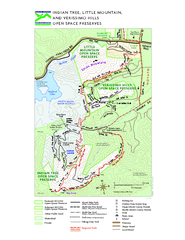
Indian Tree, Little Mountain, and Verissimo Hills...
287 miles away
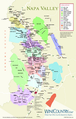
Napa Valley Wine Map
Wine map of Napa Valley, Napa, California. Shows all vineyards and shading by appellations from...
288 miles away
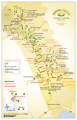
Sonoma Valley Winery Map
High quality map of Sonoma Valley wineries from the vinters and growers. Shows all key roads and...
288 miles away
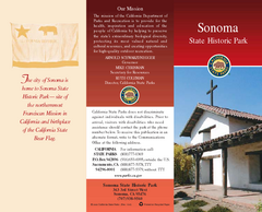
Sonoma State Historic Park Map
Map of park with detail of trails and recreation zones
288 miles away
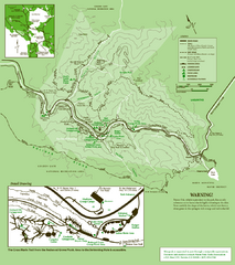
Samuel Taylor State Park Trail Map
Trail map of Samuel Taylor State Park near Lagunitas, CA.
288 miles away
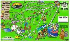
Harmony Ridge Resort Map
288 miles away
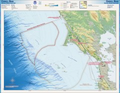
Cordell Bank National Marine Sanctuary Map
Topo and bathymetric map of the Cordell Bank National Marine Sanctuary, located 60 miles northwest...
289 miles away
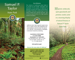
Samuel P. Taylor State Park Map
Map of park with detail of trails and recreation zones
289 miles away
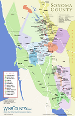
Sonoma Country Wine Map
Wine map of Sonoma, California area. Shows all vineyards.
290 miles away
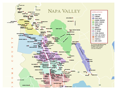
Napa County Wineries, California Map
Map of wineries in Napa County, California. Shows wineries and appellations.
290 miles away

Greater Lake Berryessa Region Tourist Map
Tourist map of the Lake Berryessa region in Napa, California
290 miles away
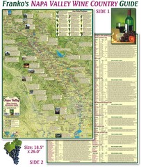
Napa Valley Wine Country Guide Map
Map of the Napa Valley Wine Country. With over 250 local Wineries listed. Printed on waterproof...
291 miles away
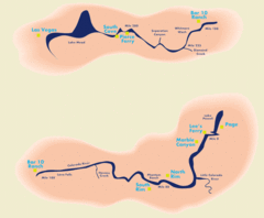
Grand Canyon River Rafting Map
Guide to the Colorado River, Grand Canyon river rafting
291 miles away
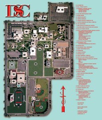
Dixie State College Campus Map
Campus Map
292 miles away
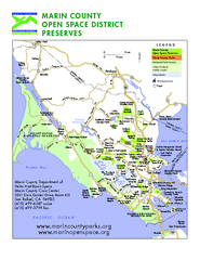
Marin Open Space Preserves Map
Shows all Open Space Preserves in Marin County, CA.
292 miles away
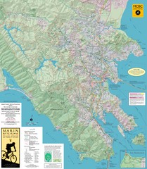
Marin, California Bike Map
292 miles away
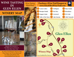
Glen Ellen Wine Tasting Map
292 miles away
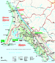
Point Reyes National Seashore Map
Official NPS map of Point Reyes National Seashore in Marin County, California. Shows trails, roads...
292 miles away
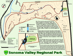
Sonoma Valley Regional Park Map
Trail map of 202 acre Sonoma Valley Regional Park.
293 miles away

Lake Berryessa Map
Lake Berryessa Recreational Map, Napa County, California
294 miles away

Lake Berryessa Recreation Map
Lake Berryessa Recreational Map, Napa County, California
294 miles away
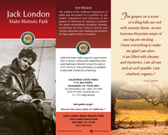
Jack London State Historic Park Map
Map of park with detail of trails and recreation zones
294 miles away
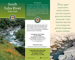
South Yuba River State Park Map
Map of park with detail of trails and recreation zones
295 miles away
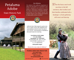
Petaluma Adobe State Historic Park Map
Map of park with detail of trails and recreation zones
295 miles away
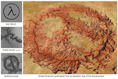
Rendered Terrain of the Grand Canyon Map
Created from Digital Elevation Models
295 miles away
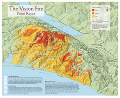
Point Reyes Vision Fire Map
Map of the burn intensity of the 1995 Vision Fire in Point Reyes National Seashore.
296 miles away
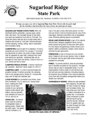
Sugarloaf Ridge State Park Campground Map
Map of park with detail of trails and recreation zones
296 miles away
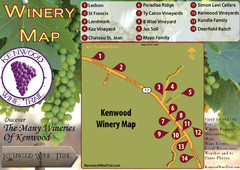
Kenwood Wine Tasting Map
297 miles away
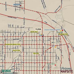
Yuma, Arizona Tourist Map
298 miles away
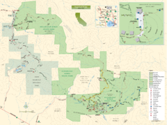
Sugarloaf Ridge State Park Map
Trail map of Sugarloaf Ridge State Park
298 miles away
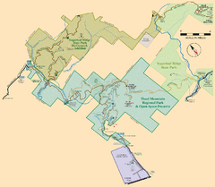
Hood Mountain Regional Park Map and Sugarloaf...
Park map of Hood Mountain Regional Park and Open Space Preserve and Sugarloaf Ridge State Park in...
298 miles away

