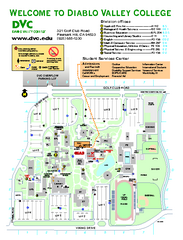
Diablo Valley College Map
257 miles away
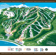
Homewood Mountain Resort Ski Trail Map
Trail map from Homewood Mountain Resort, which provides downhill and terrain park skiing. It has 7...
257 miles away
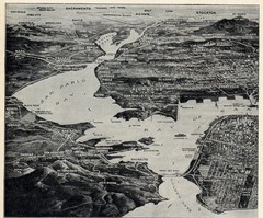
1936 San Francisco Bay Area Map Part 1
Guide to the San Francisco Bay Area in 1936, hand drawing over photograph
257 miles away
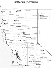
Northern California Airports Map
257 miles away
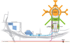
San Francisco International Airport Map
258 miles away
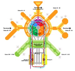
San Francisco Initernational Airport SFO Terminal...
AirTrain, airline, and gate locations map of SFO.
258 miles away
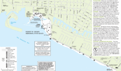
Crown Memorial State Beach Map
258 miles away
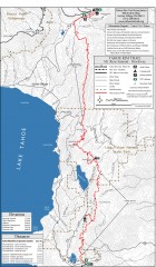
Tahoe Rim Trail: Tahoe Meadows to Spooner Summit...
Topographic hiking map of the Tahoe Meadows-Spooner Summit leg of the Tahoe Rim Trail. Shows bike...
259 miles away
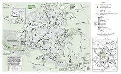
Briones Regional Park Trail Map
Trail map of Briones Regional Park in East Bay.
259 miles away
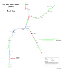
Bay Area Rapid Transit (BART) Track Map
Map of Bay Area Rapid Transit (BART) tracks. Includes all train stops and details about the tracks.
259 miles away
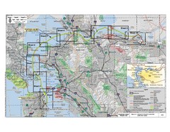
San Francisco Trans Bay Cable Project EIR Map
Map A.2-1 Detailed Project Location
259 miles away

Downtown Oakland, California Map
Tourist map of downtown Oakland, California. Shows museums, parks, neighborhoods of interest and...
259 miles away
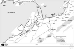
Bay Area, CA Bike Map
259 miles away
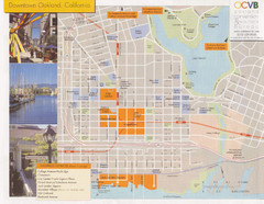
Oakland Tourist Map
Tourist map of downtown Oakland, California. Shows shopping districts.
259 miles away
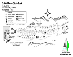
Cattail Cove State Park Map
Map of park with detail of trails and recreation zones
260 miles away
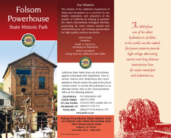
Folsom Powerhouse State Historic Park Map
Map of park with detail of trails and recreation zones
260 miles away
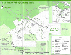
San Pedro Valley County Park Map
Trail map of San Pedro Valley County Park. 1,100 acre park with miles of trails and waterfall...
260 miles away
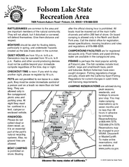
Folsom Lake State Recreation Area Campground Map
Map of park with detail of trails and recreation zones
260 miles away
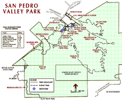
San Pedro Valley Park Map
Park map of San Pedro Valley County Park in San Mateo County, California.
260 miles away
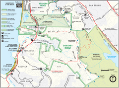
Sweeney Ridge Map
Trail map of Sweeney Ridge, part of the Golden Gate National Recreational Area.
260 miles away
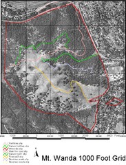
Mt. Wanda Aerial Trail Map
Trail map of Mt. Wanda area in the John Muir National Historic Site.
260 miles away
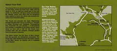
John Muir National Histroric Site Map
260 miles away
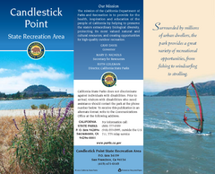
Candlestick Point Recreation Area Map
Map of park with detail of trails and recreation zones
261 miles away
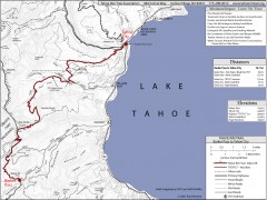
Tahoe Rim Trail: Barker Pass to Tahoe City Map
Topographic hiking map of the Barker Pass-Tahoe City leg of the Tahoe Rim Trail. Shows trailheads...
261 miles away
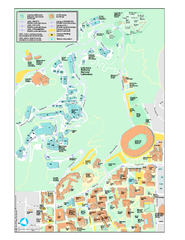
University of California, Berkeley Visitor Map
Colorful Map that illustrates the location of all buildings, parking areas, and streets in and...
261 miles away
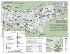
Tilden Regional Park Map - South
261 miles away
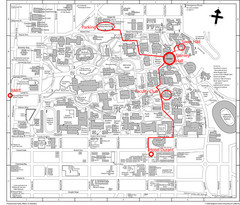
UC Berkely Campus Map
261 miles away
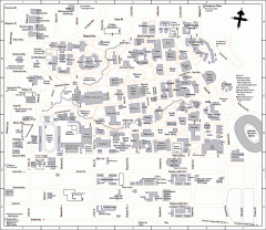
UC Berkeley Map
UC Berkeley campus map
261 miles away
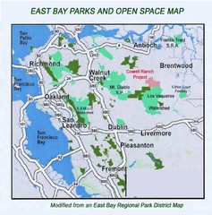
Eastbay Parks and Open Spaces Map
262 miles away
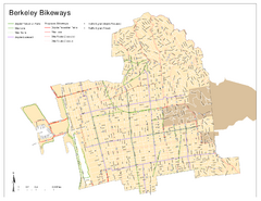
Bikeway Network of Berkeley, California Map
Map of current and proposed bike paths, lanes, and boulevards in Berkeley, California.
262 miles away
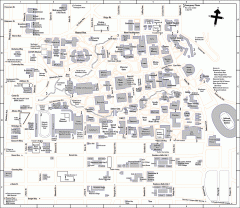
University of California at Berkeley Map
Campus map of the University of California at Berkeley. All buildings shown.
262 miles away
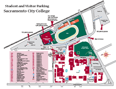
Sacramento City College Campus Map
Sacramento City Campus Map. All buildings shown.
262 miles away
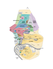
UC Botanical Gardens Map
Unfortunately this is a copy of an interactive map, so is slightly blurred at full size
262 miles away
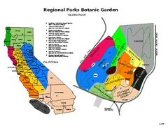
Tilden Regional Park and Native Plant Garden Map
262 miles away

Rockville Hills Regional Park Map
Trail Map, Two small lakes, picnic areas
262 miles away
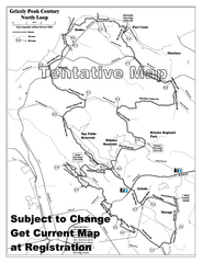
Grizzly Peak Century North Loop Route Map
Road bike route map of the north loop in the Grizzly Peak Century Ride. From site: "The...
262 miles away
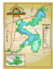
Lahontan State Recreation Area Map
Overview map of Lahontan State Recreation Area. Shows Lahontan Reservoir formed by Lahontan Dam...
262 miles away
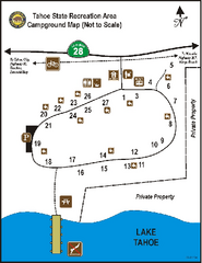
Tahoe State Recreation Area Campground Map
Map of park with detail of trails and recreation zones
262 miles away
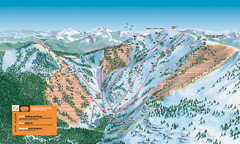
Alpine Meadows Ski Trail Map (Front)
Official ski trail map of Alpine Meadows ski area from the 2005-2006 season.
263 miles away
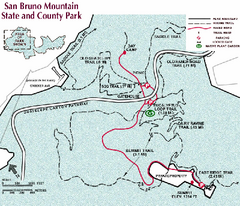
San Bruno Mountain Park Map
Park map of San Bruno Mountain State and County Park. Shows trails in northwest part of park.
263 miles away

