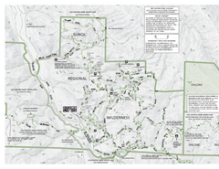
Sunol Regional Wilderness Trail Map - West
Trail map of western portion of Sunol Regional Wilderness in Sunol, California.
228 miles away
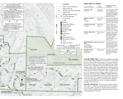
Sunol Regional Wilderness Trail Map - East
Trail map of eastern portion of Sunol Regional Wilderness in Sunol, California.
228 miles away
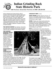
Indian Grinding Rock State Historic Park...
Map of campground region of park with detail of trails and recreation zones
228 miles away
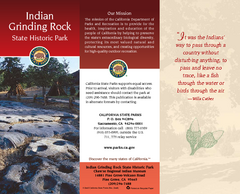
Indian Grinding Rock State Historic Park Map
Map of park with detail of trails and recreation zones
228 miles away
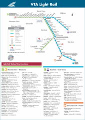
VTA Light Rail Map
228 miles away

Santa Clara Light Rail Map
228 miles away
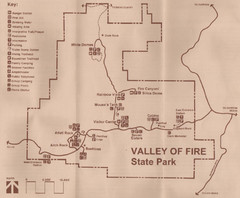
Valley of Fire State Park Map
Scanned from park brochure
229 miles away
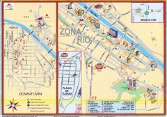
Tijuana Tourist Map
Shows major streets in downtown and Zona Rio of Tijuana, Mexico.
229 miles away
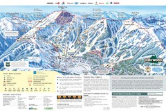
Kirkwood Ski Trail Map
Trail map from Kirkwood, which provides downhill, nordic, and terrain park skiing. It has 14 lifts...
230 miles away
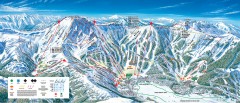
Kirkwood Ski Trail map 2006-07
Official ski trail map of Kirkwood ski area for the 2006-2007 season.
230 miles away

Six Flags Great America Map
230 miles away

Six Flags Great America Map
230 miles away
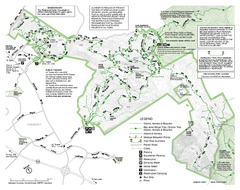
Mission Peak Preserve Map
Park map of Mission Peak Regional Preserve in Fremont, California. Topo map shows trails and trail...
231 miles away

Mount Whitney Route Map
231 miles away
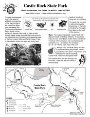
Castle Rock State Park Map
Map of park with detail of trails and recreation zones
232 miles away
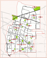
Sunnyvale map 94087 - City Parks
City parks map for Sunnyvale, California 94087. Go to the Sunnyvale Parks and Recreation site to...
232 miles away
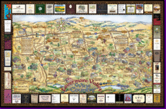
Livermore Winery Tour Map
Livermore Valley Wine Map & Visitors Guide - A great source for information about the Livermore...
232 miles away
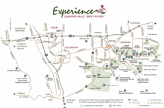
Livermore Valley Wine Map
Map showing the wineries in the Livermore Valley of California.
232 miles away

Lodi Valley Wine Map & Visitors Guide
A great source for information about the Lodi Wineries and our valleys rich Wine Region
233 miles away
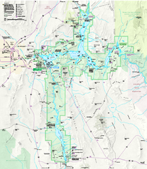
Lake Mead National Recreation Area Map
235 miles away
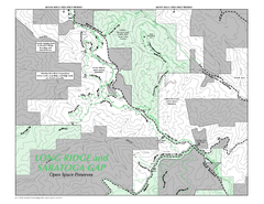
Long Ridge Open Space Preserve Map
235 miles away
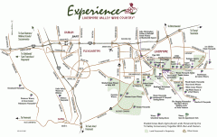
Livermore Valley Wineries, California Map
Map of wineries in Livermore Valley, California. Shows wineries, olive groves, and preserved land.
235 miles away
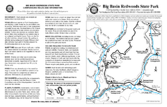
Big Basin Redwoods State Park Map
Map of park with detail of trails and recreation zones
236 miles away
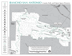
Rancho San Antonio Open Space Preserve Map
Park map of Rancho San Antonio Open Space Preserve near Los Altos, CA. Encompasses 3800 acres and...
236 miles away
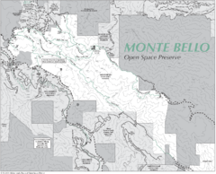
Monte Bello Open Space Preserve Map
Trail map of Monte Bello Open Space Preserve. Covers 3,142 acres and 15.5 miles of trails
236 miles away
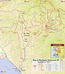
Big Basin Redwoods State Park Trail Map
Topographical trail map of Big Basin Redwoods State Park. Shows roads, trails, natural and other...
236 miles away
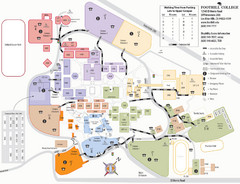
Foothill College Campus Map
Campus map of Foothill College in Los Altos Hills, CA for 2008-2009.
236 miles away
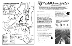
Portola Redwoods State Park Campground Map
Map of campground region of park with detail of trails and recreation zones
237 miles away
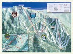
Sierra-at-Tahoe Ski Trail Map
Official ski trail map of Sierra-at-Tahoe ski area from the 2007-2008 season.
237 miles away
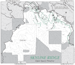
Skyline Ridge Open Space Preserve Map
Trail map of Skyline Ridge Open Space Preserve. Covers 2143 acres and 10.9 miles of trails
237 miles away
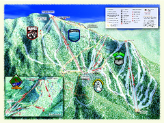
Sierra-at-Tahoe Ski Trail Map
Trail map from Sierra-at-Tahoe, which provides downhill and terrain park skiing. It has 12 lifts...
237 miles away
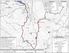
Tahoe Rim Trail: Big Meadow to Echo Lake Map
Topographic hiking map of the Big Meadow-Echo Lake leg of the Tahoe Rim Trail. Bike and pedestrian...
238 miles away
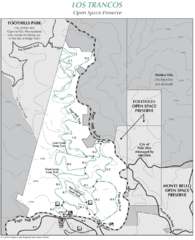
Los Trancos Open Space Preserve Map
Trail map of Los Trancos Open Space Preserve. Shows 274 acres, 5.2 miles of trails.
238 miles away
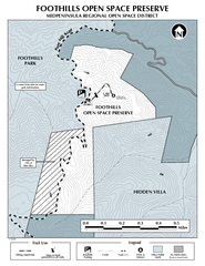
Foothills Regional Open Space Preserve Map
Preserve map of 212 acre Foothills Regional Open Space Preserve. A 0.4 mile trail leads from Page...
238 miles away
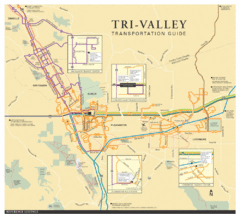
Tri Valley Transportation and Road Map
The Tri Valley cities roads and routes.
238 miles away

Palo Alto Baylands Nature Preserve Map
Map of the Palo Alto Baylands Nature Preserve in Palo Alto, CA. Shows trails, including part of...
238 miles away
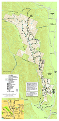
Pleasanton Ridge Regional Park Map
239 miles away
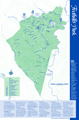
Palo Alto Foothills Park Map
Trail map of Palo Alto Foothills Park. 1400 acres and 15 miles of trails.
239 miles away
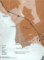
Ano Nuevo State Park Map
Map of park with detail of trails and recreation zones
239 miles away

Arastradero Preserve Map
Trail map of Arastradero Preserve shows 10.25 miles of trails.
239 miles away

