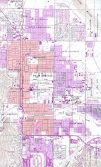
Palm Springs California City Map
165 miles away
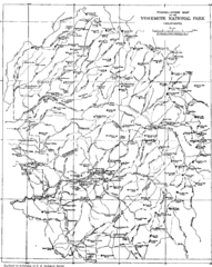
Yosemite Park Map (before development)
Map of Yosemite Park before valley development, showing only Portal Road
166 miles away
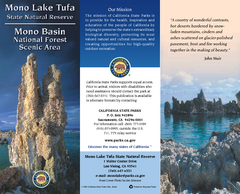
Mono Lake Tufa State Natural Reserve Map
Map of reserve with detail of trails and recreation zones
167 miles away
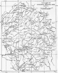
1914 Yosemite National Park Map
167 miles away
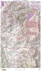
Palm Canyon Epic Trail Map
Upper Trailhead Map. Topo map marked with detail route and notes for ride.
168 miles away
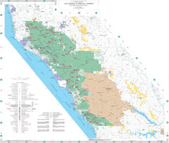
Los Padres National Forest Map - North
Overview map of the northern section of Los Padres National Forest in the Monterey Ranger District...
171 miles away
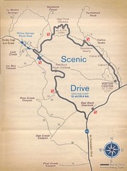
Red Rock Canyon Trail Map
Hiking trail map
172 miles away

Limeklin State Park Map
Map of park with detail of trails and recreation zones
173 miles away
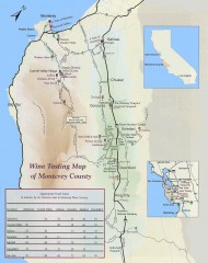
Wine tasting map of Monterey County
Wine tasting map of Monterey County, California, showing vineyards, wineries, and approximate drive...
173 miles away
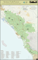
Ventana Wilderness Trails Map
Trail map of the Ventana Wilderness east of Big Sur. Also shows trails in the Silver Peak...
176 miles away
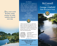
McConnell State Recreation Area Map
Map of park with detail of trails and recreation zones
176 miles away
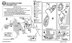
San Luis Reservoir State Recreation Area...
Map of campground region of park and reservoir with detail of trails and recreation zones
176 miles away

San Luis Reservoir State Recreation Area Map
Map of park and reservoir with detail of trails and recreation zones
176 miles away
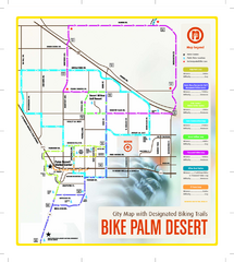
Palm Desert Biking Map
Biking route and trail map of Palm Desert, California
176 miles away
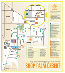
Palm Desert Shopping Map
Visitor map/shopping guide of Palm Desert
176 miles away
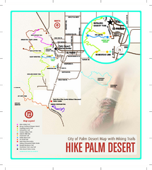
Palm Desert Hiking Trail Map
Trail map of Palm Desert, California. Shows hiking trails leaving right from town
177 miles away

Pacheco State Park Map
Map of park with detail of trails and recreation zones
180 miles away
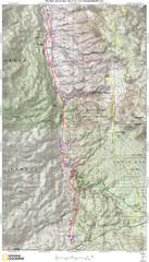
Palm Canyon Epic Map
Palm Canyon Trail - This point-to-point route takes you through a varied array of desert trails...
181 miles away

Bodie State Park SE Map
Map of park with detail of trails and recreation zones
181 miles away
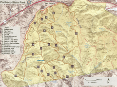
Pacheco State Park Trail Map
Map of park with details of different trails
181 miles away

Bodie State Park SW Map
Map of park with detail of trails and recreation zones
181 miles away
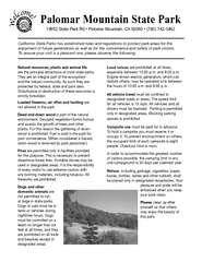
Palomar Mountain State Park Campground Map
Map of campground region of park with detail of trails and recreation zones
181 miles away
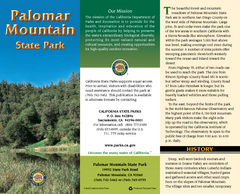
Palomar Mountain State Park Map
Map of park with detail of trails and recreation zones
181 miles away
Palomar Mountain State Park Trail Map
Map of doane valley trail in park
182 miles away
Bodie State Park Map
Map of park with detail of trails and recreation zones
182 miles away
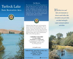
Turlock Lake State Recreation Area Map
Map of recreation area with detail of trails and recreation zones
182 miles away

Turlock Lake State Recreation Area Campground Map
Map of campground region of recreation area with detail of trails and recreation zones
182 miles away

Bodie State Park NW Map
Map of park with detail of trails and recreation zones
182 miles away

Bodie State Park NE Map
Map of park with detail of trails and recreation zones
183 miles away
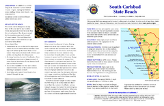
South Carlsbad State Beach Campground Map
Map of beach and park with detail of trails and recreation zones
186 miles away
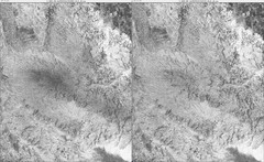
Toro Peak Elevation Map
Created with PALSAR Technology.
186 miles away
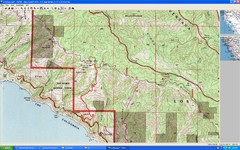
Timber Top, Big Sur Map
Route we climbed to Timber Top in Big Sur. Very steep trail.
186 miles away

Fremont Peak State Park Map
Map of park with detail of trails and recreation zones
187 miles away
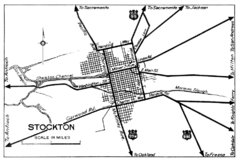
Stockton, California City Map
188 miles away
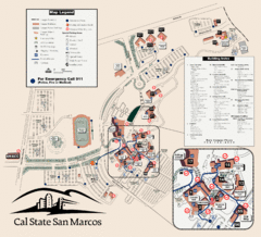
Cal State San Marcos Campus Map
Campus map of Cal State San Marcos in San Marcos, CA
188 miles away
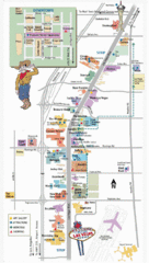
Vegas Strip and Downtown Map
Tourist map of Vegas strip and downtown
188 miles away
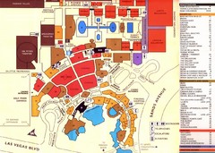
Las Vegas Tourist Map
188 miles away
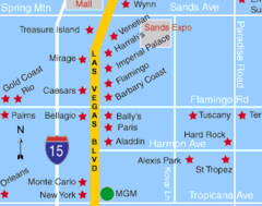
Las Vegas, South Strip Area Map
188 miles away
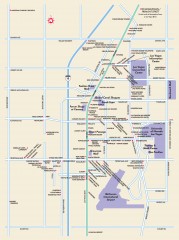
Las Vegas Strip, Las Vegas, Nevada Map
Tourist map of the Las Vegas Strip, in downtown Las Vegas, Nevada. Shows casinos, hotels, and other...
188 miles away
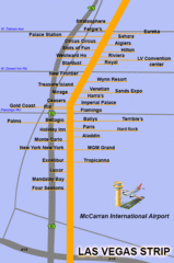
The LV Strip Map
This is a map of the Las Vegas Strip with the names of the hotels located around it.
188 miles away

