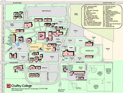
Chaffey College Rancho Cucamonga Campus Map
Chaffey College Rancho Cucamonga Campus Map. All buildings shown.
114 miles away
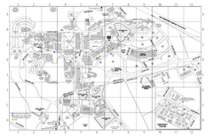
Cal Poly Pomona Campus Map
114 miles away
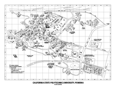
Cal Poly Pomona Map
Cal Poly Pomona Campus Map. All areas shown.
114 miles away
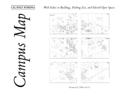
Cal Poly Pomona Map
114 miles away
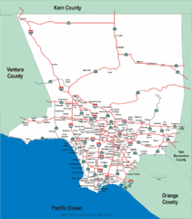
Los Angeles County Highway Map
Map of Los Angeles County highways and freeways.
114 miles away
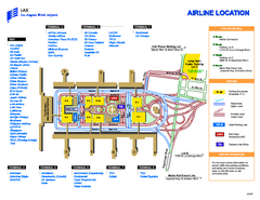
Los Angeles International Airport Terminal Map
Official Map of LAX International Airport in Los Angeles. Shows all areas.
116 miles away
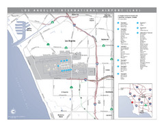
Los Angeles International Airport Area Map
Map of the Los Angeles International Airport (LAX) and surrounding area. Inset shows location of...
116 miles away
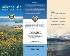
Millerton Lake State Recreation Area Map
Map of park with detail of trails and recreation zones
117 miles away
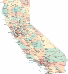
California Road Map
117 miles away
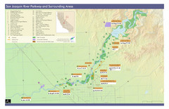
San Joaquin River Parkway Map
Map of the San Joaquin River Parkway. "The San Joaquin River Parkway is a mosaic of parks...
117 miles away
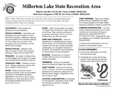
Millerton Lake State Recreation Area Campground...
Map of campground region of park with detail of trails and recreation zones
117 miles away

Millerton Lake State Recreation Area Park Map
Map of park with detail of trails and recreation zones
117 miles away
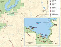
Millerton Lake State Recreation Area SE Map
Map of SE region of park with detail of trails and recreation zones
117 miles away
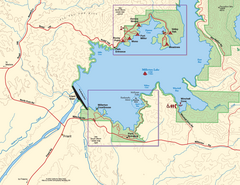
Millerton Lake State Recreation Area SW Map
Map of SW region of park with detail of trails and recreation zones
117 miles away

Millerton Lake State Recreation Area NE Map
Map of NE region of park with detail of trails and recreation zones
117 miles away
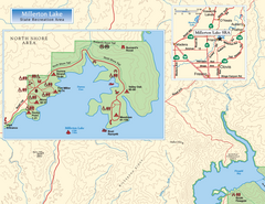
Millerton Lake State Recreation Area NW Map
Map of NW region of park with detail of trails and recreation zones
117 miles away
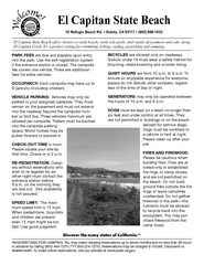
El Capitan State Beach Campground Map
Map of campground region park with detail of trails and recreation zones
119 miles away
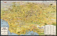
Los Angeles – the wonder city of America...
Leuschner's 1934 map "Los Angeles – the wonder city of America".
120 miles away
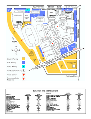
El Camino College Campus Map
El Camino College Campus map. Shows all buildings.
120 miles away
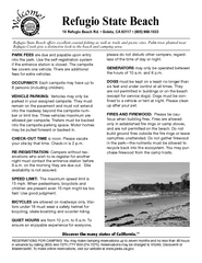
Refugio State Beach Campground Map
Map of campground region of beach with detail of trails and recreation zones
121 miles away

South Los Angeles Tourist Map
122 miles away
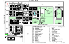
Cerritos College Campus Map
Cerritos College Campus Map. Shows all areas.
122 miles away
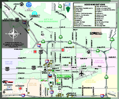
City of San Bernardino, California Map
Tourist map of San Bernardino, California. Shows lodging, recreation facilities and other points of...
122 miles away
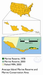
Anacapa Island Marine Reserve Map
123 miles away
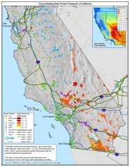
Concentrating Solar Power Prospects California Map
Shows power plants, concentrating solar resources, and transmission lines for all of California...
123 miles away

Snow Valley Ski Trail Map
Official ski trail map of Snow Valley ski area
123 miles away
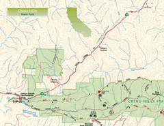
Chino Hills State Park NW Map
Map of NW portion of park with detail of trails and recreation zones
124 miles away
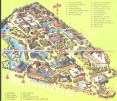
Japanese Village and Deer Park Map
Large and clear map.
124 miles away
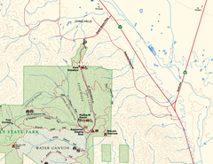
Chino Hills State Park NE Map
Map of NE portion of park with detail of trails and recreation zones
124 miles away
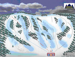
Trinity Mountain Resort Ski Trail Map
Trail map from Trinity Mountain Resort.
124 miles away
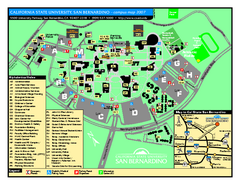
California State University - San Bernardino Map
California State University - San Bernardino Campus Map. All buildings shown.
124 miles away
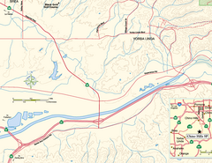
China Camp State Park SW Map
Map of SW portion of park with detail of trails and recreation zones
124 miles away
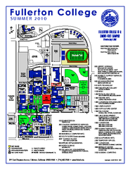
Fullerton College Campus Map 2010
Campus map of Fullerton College in Fullerton, California. Shows all buildings. Updated for Summer...
125 miles away
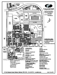
Fullerton College Campus Map
Fullerton College Campus Map. Shows all buildings.
125 miles away
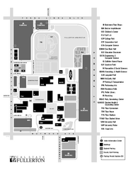
California State University at Fullerton Map
Campus Map of California State University at Fullerton. All buildings shown.
125 miles away
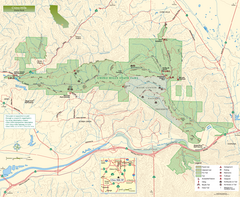
Chino Hills State Park Map
Overview map of park with detail of trails and recreation zones
125 miles away
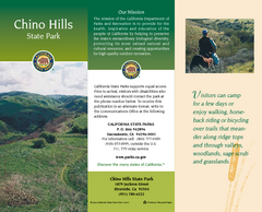
Chino Hills State Park Map
Map of park with detail of trails and recreation zones
125 miles away
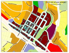
City of Atascadero Map
125 miles away
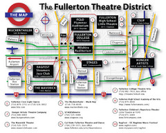
Fullerton, CA Theatre District Map
125 miles away
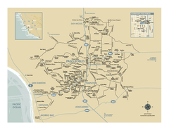
Paso Robles wine country map
Map of Paso Robles area vineyards and wineries.
125 miles away

