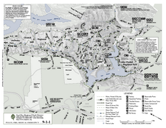
Anthony Chabot Regional Park Map - South
249 miles away
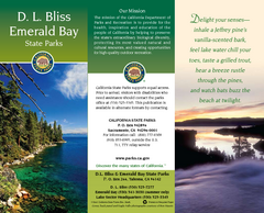
D.L. Bliss State Park Map
Map of park with detail of trails and recreation zones
249 miles away
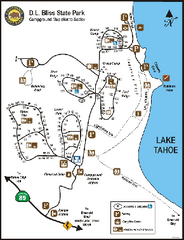
D.L. Bliss State Park Campground Map
Map of park with detail of trails and recreation zones
249 miles away
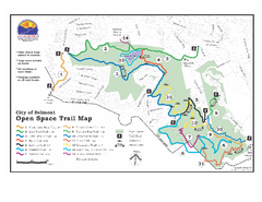
Water Dog Lake Park Trail Map
Trail map of Water Dog Lake Park. Open to mountain biking.
250 miles away
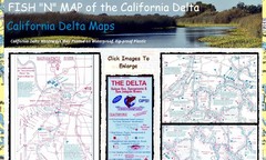
California Delta Maps Map
FISH "N" MAP of the California Delta. Navigation Map with GPS Locations. Printed on...
250 miles away
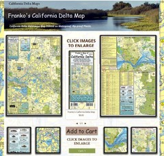
California Delta Maps Map
The "BEST" Navigational Maps of the California Delta. Franko's California...
250 miles away
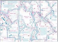
California Delta Maps/Fish "N" Map
The Delta including Suisun Bay, Sacramento & San Joaquin Rivers 10 Foot Underwater Depth...
250 miles away
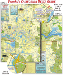
California Delta Maps Map
The "BEST" California Delta Boating, Navigation & Visitors Maps. Printed on Rip-Proof...
250 miles away
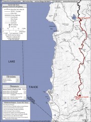
Tahoe Rim Trail: Spooner Summit to Kingsbury...
Topographic hiking map of the Spooner Summit-Kingsbury North leg of the Tahoe Rim Trail. Bike and...
250 miles away
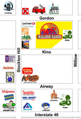
Walleck Ranch Area, Kingman Arizona Map
251 miles away
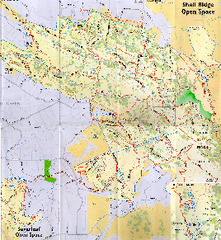
Shell Ridge Open Space Trail Map
Trail map of Shell Ridge Open Space, Walnut Creek's largest open space unit, with trails for...
252 miles away

San Mateo County Mid-County Trail Map
Trail map of mid-county trails in San Mateo County, California.
252 miles away
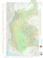
Sacramento River Watershed Map
The map shows, rivers, cities, counties, and roads surrounding the Sacramento River.
252 miles away
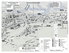
Anthony Chabot Regional Park Map - North
Trail map of the north section of Anthony Chabot Regional Park in the East Bay Hills.
252 miles away
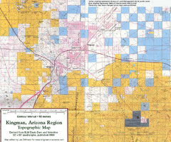
Kingman, Arizona Region Topographic Map
Elevation in qauadrangles for the Kingman, Arizona area
252 miles away
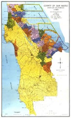
San Mateo County Map
Official county map of San Mateo, California. Scale 1"=5000'
252 miles away
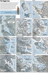
San Francisco Sea Level Rise Map
Guide to the San Francisco Bay Area, and the areas that will be underwater if there is a 1 meter...
253 miles away
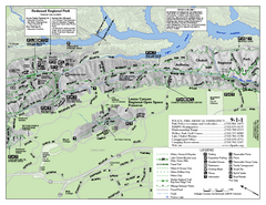
Leona Canyon Regional Open Space Preserve Map
253 miles away
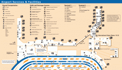
Oakland International Airport (OAK) Map
Terminal map. Shows all airport services and facilities
253 miles away

Sugar Pine Point State Park South Map
Map of southern region of park with detail of trails and recreation zones
254 miles away
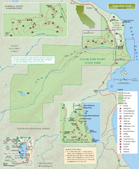
Sugar Pine Point State Park Map
Map of park with detail of trails and recreation zones
254 miles away
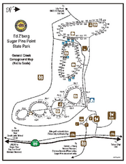
Sugar Pine Point State Park Campground Map
Map of campground region of park with detail of trails and recreation zones
254 miles away
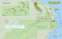
Sugar Pine Point State Park North Map
Map of northern region of park with detail of trails and recreation zones
254 miles away
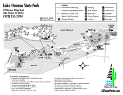
Lake Havasu State Park Map
Map of park with detail of trails and recreation zones
254 miles away
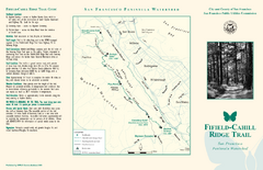
Fifield-Cahill Ridge Trail Map
Trail map and brochure of the Fifield-Cahill Ridge Trail in the San Francisco Peninsula Watershed.
254 miles away
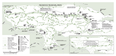
Redwood Regional Park Map
Trail map of Redwood Regional Park in Oakland, California. Shows hiking, horse, and bike trails.
255 miles away
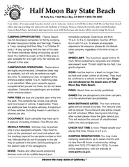
Half Moon Bay State Beach Campground Map
Map of beach with detail of trails and recreation zones
256 miles away
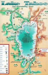
Lake Tahoe and nearby activities Map
Lake Tahoe and nearby resorts and activities
256 miles away
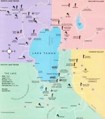
Lake Tahoe Area, California Map
Recreation map of Lake Tahoe, California. Points of interest shown include golfing, skiing, and...
256 miles away
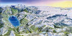
Lake Tahoe Ski Resort map
Winter map of Lake Tahoe showing relative position of all ski resorts. South-facing view. Created...
256 miles away

Digital Elevation Model Satellite Tahoe Map
Digital Elevation Models
256 miles away
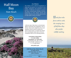
Half Moon Bay State Beach Map
Map of beach with detail of trails and recreation zones
256 miles away

Carson River Aquatic Trail Map
256 miles away
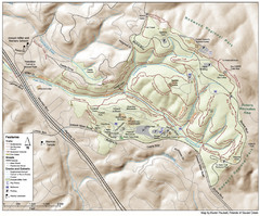
Joaquin Miller Park Map
Trail map of Joaquin Miller Park in Oakland, California. 500 acre park 9 miles from downtown...
256 miles away
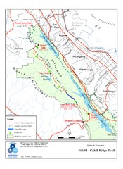
Fifield-Cahill Ridge Trail Map
Trail map of the Fifield-Cahill Ridge Trail in the San Francisco Peninsula Watershed.
256 miles away
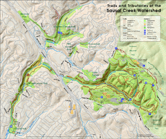
Sausal Creek Watershed Trail Map
Trail map of the Sausal Creek Watershed in Oakland, California. Show trails in Joaquin Miller Park...
256 miles away
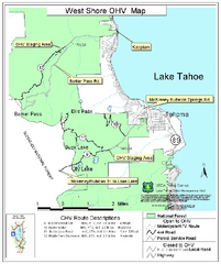
West Shore Lake Tahoe Off-highway Vehicle Map
Off-highway vehicle map of the West Shore of Lake Tahoe. Roads open to motorcycles, ATVs, and 4x4s...
257 miles away
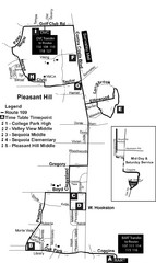
Pleasant Hill, CA Map
257 miles away
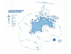
Lafayette Reservoir Recreation Area Map
257 miles away
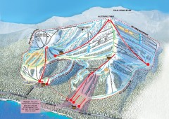
Homewood Ski Trail Map
Official ski trail map of Homewood ski area from the 2007-2008 season.
257 miles away

