
Bakersfield Commons Conceptual Site Plan Map
39 miles away

Bakersfield Commons Phase 1 Alt Map
39 miles away

Bakersfield Commons Existing and Proposed Zoning...
39 miles away
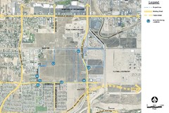
Bakersfield Commons Noise Monitoring Map
39 miles away

Bakersfield Commons Site Existing Conditions Map
39 miles away

Bakersfield Commons Proposed Retention Areas Map
39 miles away

Bakersfield Commons Site Features Map
39 miles away

Town & Country Village Shopping Center in...
39 miles away
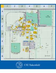
California State University Bakersfield Map
Campus map of California State University Bakersfield.
40 miles away
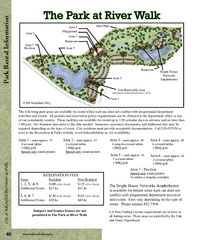
The Park at Riverwalk, Bakersfield California Map
Map of The Park at Riverwalk in Bakersfield California, including the fees for reservable areas.
41 miles away

Buena Vista Aquatic Recreation Area, Lake Webb...
52 miles away

Buena Vista Lakes Map
Buena Vista Aquatic Recreation Area is located off of Taft Highway, 23 miles southwest of...
53 miles away

Colonel Allensworth State Historic Park Map
Map of park with detail of trails and recreation zones
54 miles away

California Aquaduct Map in Kern County
The California Aqueduct is the principal water conveyance structure for the California State Water...
57 miles away
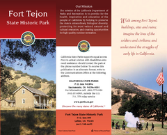
Fort Tejon State Historic Park Map
Map of park with detail of trails and recreation zones
60 miles away
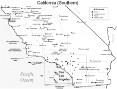
Southern California Airports Map
66 miles away
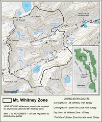
Mt. Whitney Zone Map
Zone map of Mt. Whitney area. Shows trail from Whitney Portal and Zone requiring Limited Use...
67 miles away
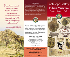
Antelope Valley State Park Map
Map of park with detail of of trails and recreation zones
67 miles away
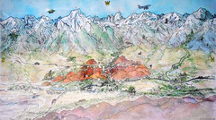
Lone Pine Map
Panorama tourist map of town of Lone Pine, California with surrounding area including the Alabama...
72 miles away
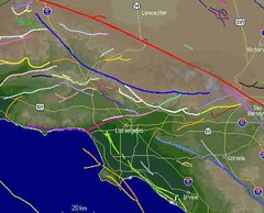
Southern California Fault Lines Map
The red line on this map of southern California is the San Andreas fault. Other lines represent...
75 miles away
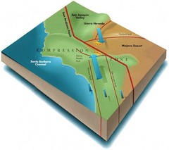
Southern California Compressional Fold Belts Map
Diagram of southern California showing the San Andreas Fault as a master player in a tectonic...
75 miles away
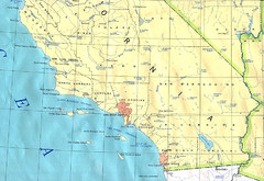
Southern California Map
75 miles away
Saddleback Butte State Park Map
Map of park with detail of trails and recreation zones
76 miles away
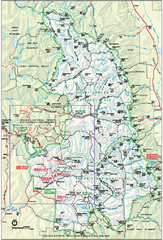
Sequoia National Park map and Kings Canyon...
Official park map of Sequoia National Park and Kings Canyon National Park.
77 miles away
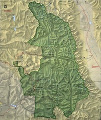
King Canyon and Seqouia Nationa Parks Map
77 miles away
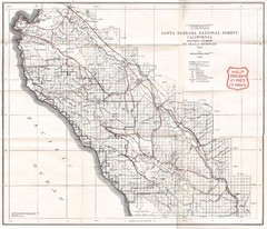
Santa Barbara National Forest 1924 Map
Los Padres National Forest Map. Prior to 1936 it was known as the Santa Barbara National Forest.
81 miles away
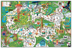
Six Flags Magic Mountain Theme Park Map
Official park map of Six Flags Magic Mountain, California.
83 miles away
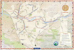
Santa Clarita Trail Map
83 miles away
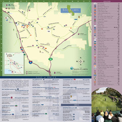
Santa Clarita Tourist Map
Tourist map of Santa Clarita, California
84 miles away
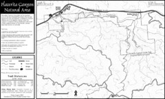
Placerita Canyon Trail Map
85 miles away
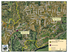
Ojai Park and Rides Map
City map of Ojai, California. Shows park & rides for commuters.
92 miles away
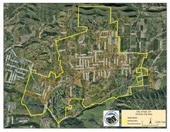
Ojai Street Map
Street map of Ojai, California.
92 miles away
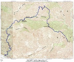
Ybarra Canyon Trail Map
Ybarra Canyon in the Angeles National Forest.
92 miles away
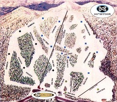
Kratka Ridge Ski Trail Map
Trail map from Kratka Ridge.
94 miles away

California Agricultural Region Map
96 miles away
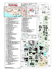
California State University at Northridge Map
Campus Map of the California State University at Northridge. All buildings shown.
96 miles away
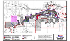
City of Barstow Zoning Map
Map illustrates the zoning and boundary areas of the city of Barstow.
96 miles away
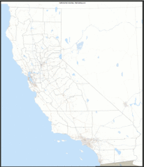
California Zip Code Map
Check out this Zip code map and every other state and county zip code map zipcodeguy.com.
96 miles away
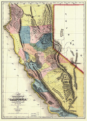
1851 California Regional Map
Great quality map of Californian regions in 1851.
96 miles away
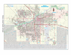
Bakersfield, California City Map
96 miles away

