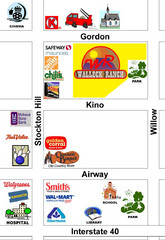
Walleck Ranch Area, Kingman Arizona Map
281 miles away
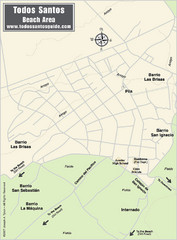
Todos Santos Beach Map
282 miles away
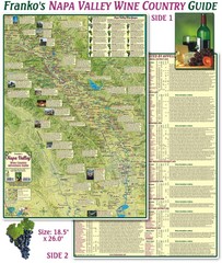
Napa Valley Wine Country Guide Map
Map of the Napa Valley Wine Country. With over 250 local Wineries listed. Printed on waterproof...
282 miles away
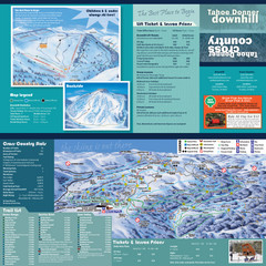
Tahoe Donner Cross Country Ski Trail Map
Ski trail map of Tahoe Donner Association. Shows both downhill and cross-country ski trails...
282 miles away
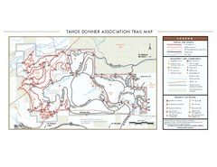
Tahoe Donner Ski Trail Map
Official ski trail map of Tahoe Donner Association. Shows both downhill and cross-country ski...
282 miles away
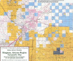
Kingman, Arizona Region Topographic Map
Elevation in qauadrangles for the Kingman, Arizona area
282 miles away
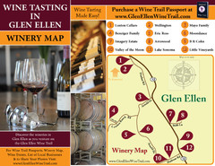
Glen Ellen Wine Tasting Map
282 miles away
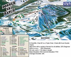
Donner Ski Ranch Ski Trail Map
Trail map from Donner Ski Ranch, which provides downhill and terrain park skiing. It has 6 lifts...
282 miles away

Greater Lake Berryessa Region Tourist Map
Tourist map of the Lake Berryessa region in Napa, California
283 miles away
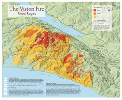
Point Reyes Vision Fire Map
Map of the burn intensity of the 1995 Vision Fire in Point Reyes National Seashore.
283 miles away
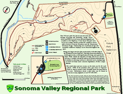
Sonoma Valley Regional Park Map
Trail map of 202 acre Sonoma Valley Regional Park.
283 miles away
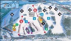
Soda Springs Ski Trail Map
Trail map from Soda Springs, which provides downhill and terrain park skiing. It has 2 lifts...
283 miles away

Tahoe Donner Ski Trail Map
Trail map from Tahoe Donner, which provides downhill, night, and nordic skiing. It has 3 lifts...
283 miles away
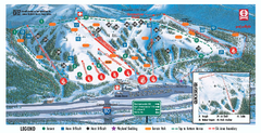
Boreal Ski Trail Map
Official ski trail map of Boreal ski area
283 miles away
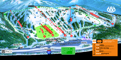
Boreal Mountain Resort Ski Trail Map
Trail map from Boreal Mountain Resort, which provides downhill, night, and terrain park skiing. It...
284 miles away
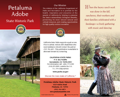
Petaluma Adobe State Historic Park Map
Map of park with detail of trails and recreation zones
284 miles away
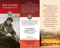
Jack London State Historic Park Map
Map of park with detail of trails and recreation zones
284 miles away
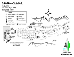
Cattail Cove State Park Map
Map of park with detail of trails and recreation zones
285 miles away

Map of the Baja Wine Country
285 miles away

Lake Berryessa Map
Lake Berryessa Recreational Map, Napa County, California
286 miles away

Lake Berryessa Recreation Map
Lake Berryessa Recreational Map, Napa County, California
286 miles away
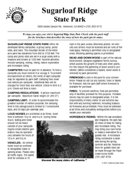
Sugarloaf Ridge State Park Campground Map
Map of park with detail of trails and recreation zones
287 miles away
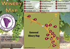
Kenwood Wine Tasting Map
287 miles away
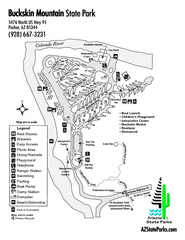
Buckskin Mountain State Park Map
Map of park with detail of trails and recreation zones
287 miles away
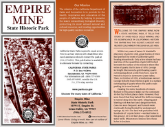
Empire Mine State Historic Park Map
Map of park with detail of trails and recreation zones
288 miles away
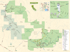
Sugarloaf Ridge State Park Map
Trail map of Sugarloaf Ridge State Park
288 miles away
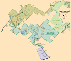
Hood Mountain Regional Park Map and Sugarloaf...
Park map of Hood Mountain Regional Park and Open Space Preserve and Sugarloaf Ridge State Park in...
288 miles away
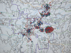
Nevada County Economic Resource Council Activity...
The ERC supports many different businesses in western Nevada County. We provide business assistance...
289 miles away

Downtown Reno, Nevada Map
Tourist map of Reno, Nevada. Event and convention centers, visitor's center, parks, and other...
290 miles away
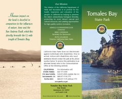
Tomales Bay State Park Map
Map of park with detail of trails and recreation zones
290 miles away
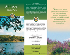
Annadel State Park Map
Map of park with detail of trails and recreation zones
290 miles away

Reno Tahoe Tourist Map
291 miles away

Reno, Nevada City Map
291 miles away
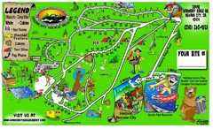
Harmony Ridge Resort Map
291 miles away
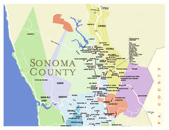
Wineries in Sonoma County, California Map
Map of winery locations in Sonoma County, California. Shows wineries, tasting rooms, and valleys of...
292 miles away
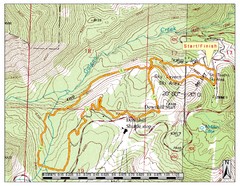
Sky Tavern XC Route Map
Topo map of the XC course for the cycling event.
293 miles away
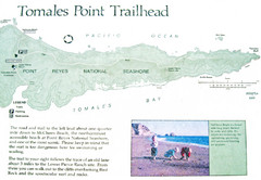
Tomales Point Trail Map
Map of the trail to Tomales Point in Point Reyes National Seashore, California. Also shows trail...
293 miles away
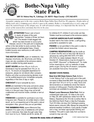
Bothe-Napa Valley State Park Map
Map of park with detail of of trails and recreation zones
293 miles away
South Yuba River State Park Map
Map of park with detail of trails and recreation zones
296 miles away
Picacho State Recreation Area Map
Map of recreation area with detail of trails and recreation zones
298 miles away

