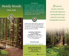
Hendy Woods State Park Map
Map of park with detail of trails and recreation zones
355 miles away
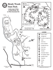
Hendy Woods State Park Map
Park map of Hendy Woods State Park in Philo, California. Shows trails, campgrounds, and other...
355 miles away
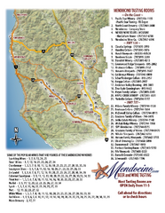
Mendocino Beer and Wine Tasting Map
Beer and wine tasting map of Mendocino county, California. Show breweries and wineries on the...
356 miles away
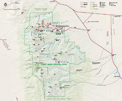
Great Basin National Park Map
Official NPS park map of Great Basin National Park. Shows all roads, trails, and facilities...
358 miles away

Zion Canyon Map
A detailed map of the Zion Canyon in Zion National Park
359 miles away
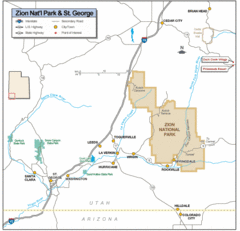
Zion National Park Highway Map
Highways, roads, cities and points of interest are marked on this clear map.
359 miles away
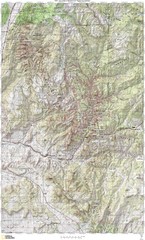
Zion National Park Topography Map
359 miles away
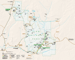
Zion National Park Official map
Official park map of Zion National Park. Shows trails, roads, and all park facilities.
361 miles away
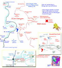
Zion National Park Trails Map
362 miles away
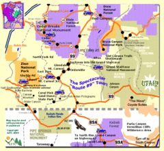
Zion National Park Tourist Map
363 miles away
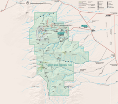
Great Basin National Park Map
365 miles away
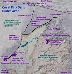
Coral Pink Sand Dunes Map
366 miles away
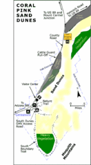
Coral Pink Sand Dunes State Park Map
Rippling arcs of rust-colored sand welcome you as you enter Coral Pink Sand Dunes State Park...
369 miles away

Burning Map 2005 Map
Artistic representation of Burning Man's Black Rock City.
373 miles away
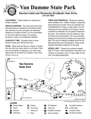
Van Damme State Park Campground Map
Map of campground region of park with detail of trails and recreation zones
374 miles away
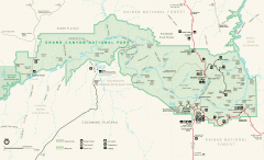
Grand Canyon National Park map
Official map of Grand Canyon National Park. Currently not available on the NPS website
374 miles away
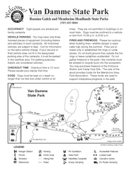
Van Damme State Park Campground Map
Map of campground region of park with detail of trails and recreation zones
375 miles away

Van Damme State Park Map
Park map of Van Damme State Park near Mendocino, California. Show Fern Valley Trail through...
375 miles away
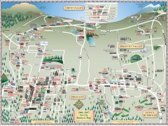
Prescott tourist map
Tourist and business map of Prescott, Arizona. Shows all businesses in the tri-city area.
376 miles away
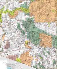
Arizona Prominance Map
Prominant peaks are marked by flags in 4 categories according to elevation.
376 miles away
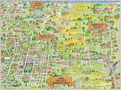
Prescott Prescott Valley and Chino Valley Tourist...
Tri-city tourist map of Prescott, Arizona, Prescott Valley, Arizona, and Chino Valley, Arizona...
376 miles away
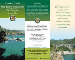
Mendocino Headlands State Parks Map
Map of parks with detail of trails and recreation zones
377 miles away
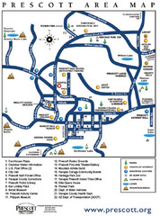
Prescott Area Map
377 miles away
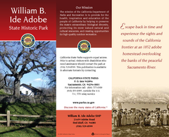
William B. Ide Adobe State Historic Park Map
Map of park with detail of trails and recreation zones
377 miles away
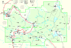
Lassen Volcanic National Park Official Park Map
Official NPS map of Lassen Volcanic National Park in California. Map shows all areas. Lassen...
377 miles away
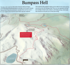
Bumpass Hell Trail Map
Trail map of route to Bumpass Hell, a major area of geo-thermal activity in Lassen National Park...
377 miles away
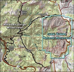
Topo Map of Ashdown Gorge Wilderness, including...
Cedar Breaks is similar to Bryce Canyon in many ways, but is more of an amphitheater than a canyon...
377 miles away
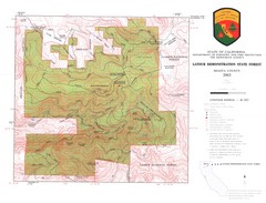
Latour State Forest Map
Countour map of the Latour Demonstration Forest.
377 miles away
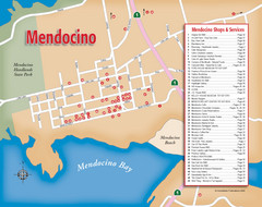
Mendocino Tourist Map
Tourist map of town of Mendocino, California. Shows shops and services.
378 miles away
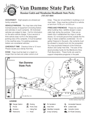
Russian Gulch State Park Campground Map
Map of campground region of park with detail of trails and recreation zones
379 miles away
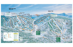
Brian Head Ski Trail Map
Official ski trail map of Brian Head ski area from the 2007-2008 season.
379 miles away
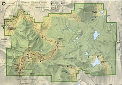
Lassen Volcanic National Park Map
379 miles away
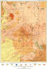
Lassen Peak District Geological Map
Geologic map of the Lassen Peak area in Lassen National Park, California. Shows sedimentary rock...
379 miles away
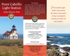
Point Cabrillo Light Station State Historic Park...
Map of park with detail of trails and recreation zones
381 miles away
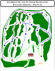
Elk Ridge Ski Trail Map
Trail map from Elk Ridge, which provides downhill skiing. It has 2 lifts servicing 7 runs; the...
385 miles away
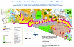
Migrant Deaths along US Border - California and...
Map shows locations of migrant deaths from 2000-2004 along the US-Mexican border in California and...
386 miles away
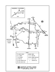
Mendocino National Forest map
Map of the Nome Cult Trail Walk in the Mendocino National Forest.
387 miles away
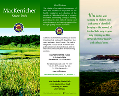
MacKerricher State Park Map
Map of park with detail of trails and recreation zones
387 miles away
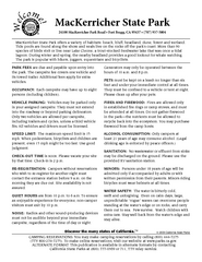
MacKerricher State Park Campground Map
Map of campground region of park with detail of trails and recreation zones
387 miles away
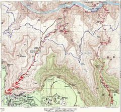
Grand Canyon Hiking Trail Map
Topo map of the Grand Canyon with a loop hike down the South Kaibab Trail and up Bright Angel Trail...
389 miles away

