
Las Vegas Tourist Map
Birds-eye view of the Las Vegas Strip. Scanned.
222 miles away

Ano Nuevo State Park Map
Map of park with detail of trails and recreation zones
222 miles away

Harrahs Las Vegas Hotel Map
222 miles away
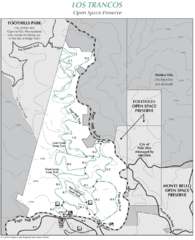
Los Trancos Open Space Preserve Map
Trail map of Los Trancos Open Space Preserve. Shows 274 acres, 5.2 miles of trails.
222 miles away

Community College of Southern Nevada Map
Campus Area map of the Community College of Southern Nevada. The college is located on three main...
222 miles away

Las Vegas Strip Map
222 miles away
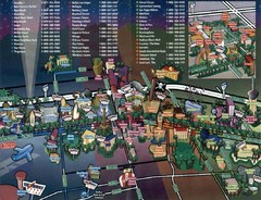
Las Vegas Strip Map
222 miles away
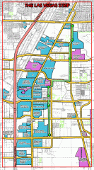
Las Vegas Strip map
Las Vegas map of the famous strip. All major casinos shown, including Bellagio, MGM Grand, Caesars...
222 miles away
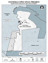
Foothills Regional Open Space Preserve Map
Preserve map of 212 acre Foothills Regional Open Space Preserve. A 0.4 mile trail leads from Page...
223 miles away
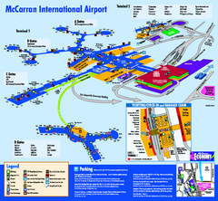
Las Vegas McCarran Airport Terminal Map
Official Terminal Map of Las Vegas McCarran Airport. Shows all areas.
223 miles away

Las Vegas shopping map for Lucky
223 miles away
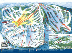
Bear Valley Ski Trail Map
Official ski trail map of Bear Valley ski area from the 2007-2008 season.
223 miles away
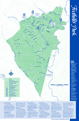
Palo Alto Foothills Park Map
Trail map of Palo Alto Foothills Park. 1400 acres and 15 miles of trails.
223 miles away
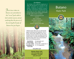
Butano State Park Map
Map of park with detail of trails and recreation zones
223 miles away
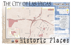
Las Vegas Historical Landmarks Map
224 miles away
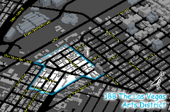
Las Vegas Arts District Map
224 miles away
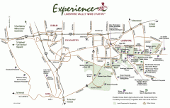
Livermore Valley Wineries, California Map
Map of wineries in Livermore Valley, California. Shows wineries, olive groves, and preserved land.
224 miles away
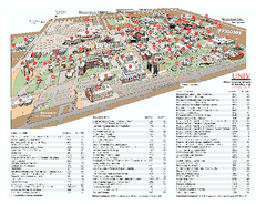
University of Nevada - Las Vegas Campus Map
Campus map of UNLV (University of Nevada - Las Vegas) All areas shown.
224 miles away
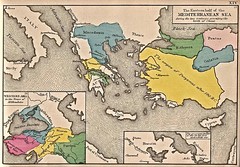
Historical Map of Mediterranean Sea B.C. 1884
"The Eastern half of the Mediterranean Sea during the two centuries preceeding the birth of...
224 miles away

Palo Alto Baylands Nature Preserve Map
Map of the Palo Alto Baylands Nature Preserve in Palo Alto, CA. Shows trails, including part of...
224 miles away
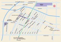
Downtown Las Vegas, Nevada Map
Tourist map of downtown Las Vegas, Nevada. Casinos, hotels, and shopping opportunities are shown...
224 miles away

Arastradero Preserve Map
Trail map of Arastradero Preserve shows 10.25 miles of trails.
224 miles away
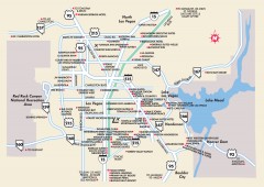
Las Vegas Surrounding Areas, Nevada Map
Tourist map of the areas surrounding Las Vegas, Nevada. Shows hotels and inns outside of downtown...
225 miles away
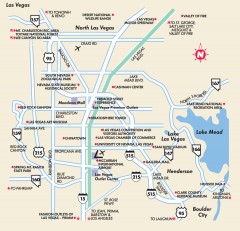
Point of Interest in Las Vegas, Nevada Map
Tourist map of Las Vegas, Nevada. Shows museums, government buildings, and other attractions.
225 miles away
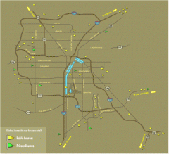
Golf Courses near Las Vegas, Nevada Map
Map of golf courses in and around Las Vegas, Nevada. Shows public and private courses, as well as...
225 miles away
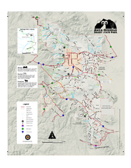
Anza-Borrego Desert State Park Map
Map of park with detail of trails and recreation zones
225 miles away
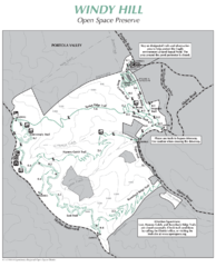
Windy Hill Open Space Preserve Map
Trail map of Windy Hill Open Space Preserve. 1312 acres and 12.2 miles of trails
225 miles away
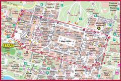
Cardinal Walk Map
Map of Stanford University campus with Cardinal Walk detail
226 miles away
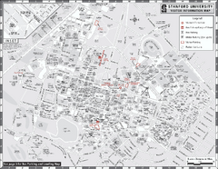
Stanford University Map
Stanford University Campus Map. All buildings shown.
226 miles away
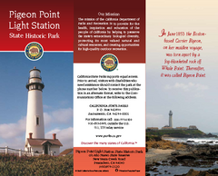
Pigeon Point Light Station State Historic Park Map
Map of park with detail of trails and recreation zones
226 miles away
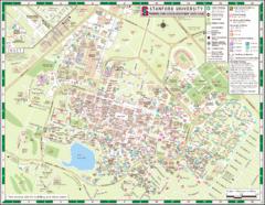
Stanford University Map
A map of the Stanford University campus.
226 miles away
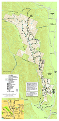
Pleasanton Ridge Regional Park Map
227 miles away
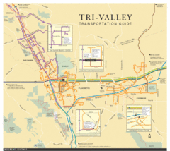
Tri Valley Transportation and Road Map
The Tri Valley cities roads and routes.
227 miles away
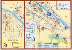
Tijuana Tourist Map
Shows major streets in downtown and Zona Rio of Tijuana, Mexico.
228 miles away
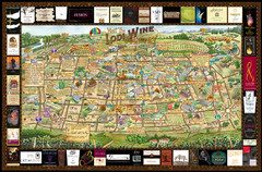
Lodi Valley Wine Map & Visitors Guide
A great source for information about the Lodi Wineries and our valleys rich Wine Region
228 miles away
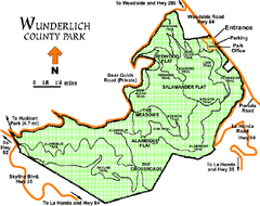
Wunderlich County Park Map
Trail map of Wunderlich County Park near Woodside, California. "The Alambique Trail offers a...
229 miles away
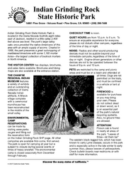
Indian Grinding Rock State Historic Park...
Map of campground region of park with detail of trails and recreation zones
229 miles away
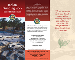
Indian Grinding Rock State Historic Park Map
Map of park with detail of trails and recreation zones
229 miles away
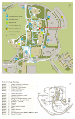
Cañada College Campus Map
Campus map of Cañada College, Redwood City, CA. Shows buildings.
231 miles away
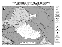
Teague Hill Open Space Preserve Map
Trail map of Teague Hill Open Space Preserve near Woodside, California. Only one trail enters a...
231 miles away

