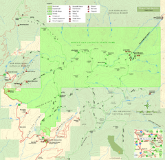
Mount San Jacinto State Park Map
Map of park with detail of trails and recreation zones
172 miles away
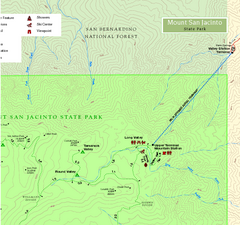
Mount San Jacinto State Park NE Map
Map of NE region of park with detail of trails and recreation zones
172 miles away
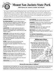
Mount San Jacinto State Park Campground Map
Map of campground region of park with detail of trails and recreation zones
172 miles away
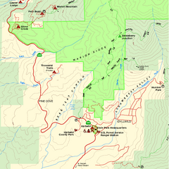
Mount San Jacinto State Park SW Map
Map of SW region of park with detail of trails and recreation zones
172 miles away

Toro County Park Map
Trails of Toro County Park, Salinas Ca.
172 miles away
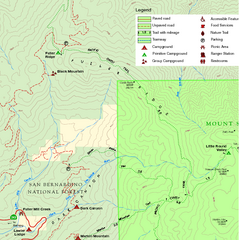
Mount San Jacinto State Park NW Map
Map of NW region of park with detail of trails and recreation zones
172 miles away
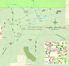
Mount San Jacinto State Park SE Map
Map of SE region of park with detail of trails and recreation zones
173 miles away

Yosemite Valley Park Map
Guide Map of the Yosemite National Forest
173 miles away
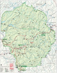
Yosemite National Park Map
Detailed Park Map of Yosemite National Park. Includes all camping areas, trails, roads...
173 miles away

Yosemite National Park Guide Map
Guide map of Yosemite National Park
173 miles away
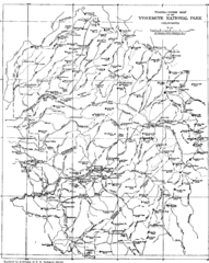
Yosemite Park Map (before development)
Map of Yosemite Park before valley development, showing only Portal Road
173 miles away
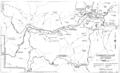
Yosemite Valley Automobile Guide Map 1963
Yosemite Valley and Vicinity with Elevations
173 miles away
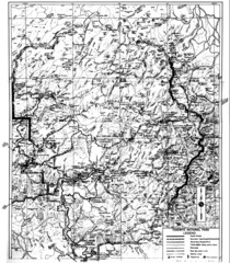
1931 Yosemite National Park Map
Yosemite National Park Map with trails and elevations
173 miles away
San Juan Bautista State Historic Park Map
Map of park with detail of trails and recreation zones
174 miles away

Laguna Seca Raceway Map
Overview map of the Laguna Seca Raceway. Shows track, parking, and facilities.
175 miles away
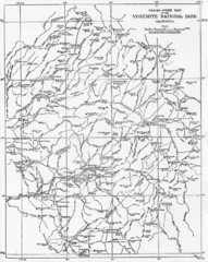
1914 Yosemite National Park Map
175 miles away
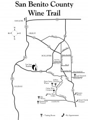
San Benito County Wine Trail Map
Wineries in the San Benito County, California area.
176 miles away
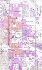
Palm Springs California City Map
177 miles away
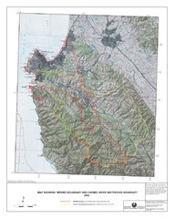
Monterey Peninsula and Carmel River Watershed...
This map contains a digital raster graphic topographic base map of the Monterey Peninsula Water...
177 miles away
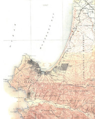
Monterey Map
178 miles away
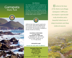
Garrapata State Park Map
Map of park with detail of trails and recreation zones
179 miles away
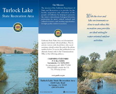
Turlock Lake State Recreation Area Map
Map of recreation area with detail of trails and recreation zones
179 miles away

Turlock Lake State Recreation Area Campground Map
Map of campground region of recreation area with detail of trails and recreation zones
179 miles away
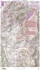
Palm Canyon Epic Trail Map
Upper Trailhead Map. Topo map marked with detail route and notes for ride.
180 miles away
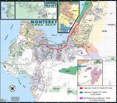
Monterey Area Map
Shows Monterey / Carmel area. Has legend on it with route highlighted to Naval housing.
181 miles away
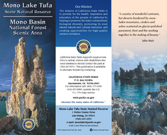
Mono Lake Tufa State Natural Reserve Map
Map of reserve with detail of trails and recreation zones
181 miles away
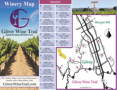
Gilroy Wine Tasting Map
182 miles away
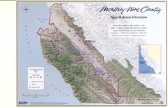
Monterey Wine Country: Appellation Overview Map
The Monterey region is world-famous for unparalleled scenic beauty, golf, and cuisine. Millions of...
182 miles away
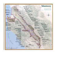
Monterey Wine Country: Appellation Overview Map
The Monterey region is world-famous for unparalleled scenic beauty, golf, and cuisine. Millions of...
182 miles away
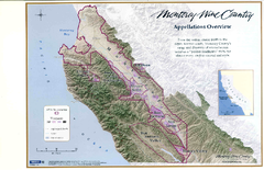
Monterey Wine Country: Appellation Overview Map
The Monterey region is world-famous for unparalleled scenic beauty, golf, and cuisine. Millions of...
182 miles away
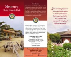
Monterey State Historic Park Map
Map of park with detail of trails and recreation zones
182 miles away
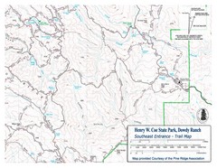
Henry W. Coe State Park, Dowdy Ranch Map
Henry W. Coe State Park Southeast Entrance Trail Map.
183 miles away
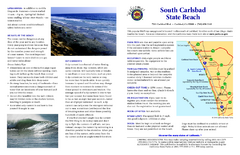
South Carlsbad State Beach Campground Map
Map of beach and park with detail of trails and recreation zones
184 miles away
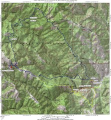
Henry Willard Coe State Park Topographical Map
Topographical map of Henry Willard Coe State Park. Includes roads, elevation information and some...
184 miles away
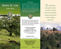
Henry W. Coe State Park Map
Map of park with detail of trails and recreation zones
184 miles away
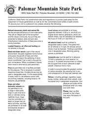
Palomar Mountain State Park Campground Map
Map of campground region of park with detail of trails and recreation zones
186 miles away
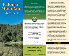
Palomar Mountain State Park Map
Map of park with detail of trails and recreation zones
186 miles away
Palomar Mountain State Park Trail Map
Map of doane valley trail in park
186 miles away
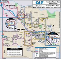
Ceres, CA Transportation Map
188 miles away
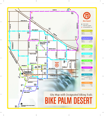
Palm Desert Biking Map
Biking route and trail map of Palm Desert, California
188 miles away

