
Sebastopol Map
Map of Sebastopol and surrounding towns.
299 miles away
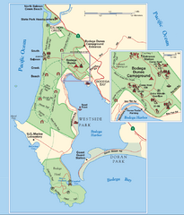
Bodega Bay Park Map
Park map of the Sonoma Coast State Beach park lands in Bodega Bay, California. Shows roads, trails...
303 miles away
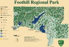
Foothill Regional Park Map
Park map of Foothill Regional Park in Sonoma County, California. Shows trails and 3 lakes.
303 miles away
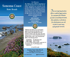
Sonoma Coast State Beach Map
Map of beach and park with detail of trails and recreation zones
308 miles away
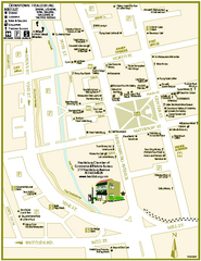
Downtown Healdsburg, California Map
Tourist maps of downtown Healdsburg, California. First map shows restaurants, galleries, wine...
309 miles away
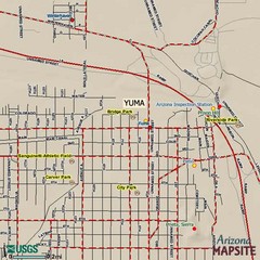
Yuma, Arizona Tourist Map
311 miles away
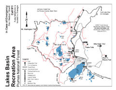
Lakes Basin Recreation Area Trail Map
Trail map of Lakes Basin Recreation Area in Plumas National Forest near Graeagle, California...
313 miles away
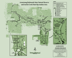
Armstrong Redwoods State Natural Reserve Map and...
Park map of Armstrong Redwoods State Natural Reserve and Austin Creek State Recreation Area in...
313 miles away
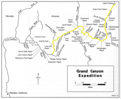
Grand Canyon River Expedition Map
Guide to the Colorado River, rapids and washes
316 miles away
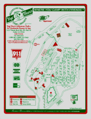
Jellystone Park at Glebrook Resort & Spa Map
317 miles away
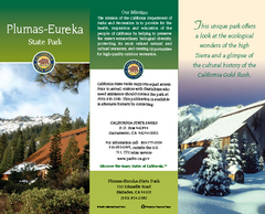
Plumas-Eureka State Park Map
Map of park with detail of trails and recreation zones
317 miles away
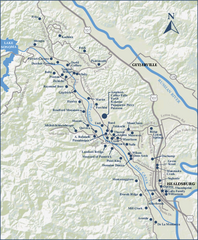
Dry Creek Valley Wineries, California Map
Map of wineries in Dry Creek Valley, California. Shows wineries and roads.
317 miles away
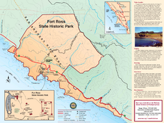
Fort Ross State Historic Park Map
Map of park with detail of trails and recreation zones
319 miles away
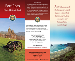
Fort Ross State Historic Park Map
Map of park with detail of trails and recreation zones
319 miles away
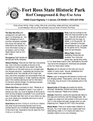
Fort Ross State Historic Park Campground Map
Map of park with detail of trails and recreation zones
319 miles away
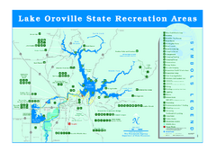
Lake Oroville State Recreation Area Map
Recreation overview map of Lake Oroville State Recreation Area near Oroville, California. Show all...
322 miles away
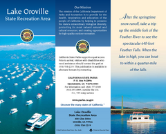
Lake Oroville State Recreation Area Map
Map of recreation area with detail of trails and recreation zones
322 miles away
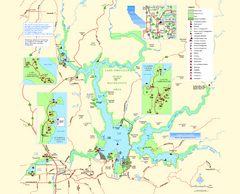
Lake Oroville State Recreation Area Map
Map of recreation area with detail of trails and recreation zones
322 miles away
Salt Point State Park Map
Map of park with detail of trails and recreation zones
324 miles away
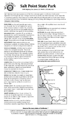
Salt Point State Park Campground Map
Map of campground region of park with detail of trails and recreation zones
324 miles away
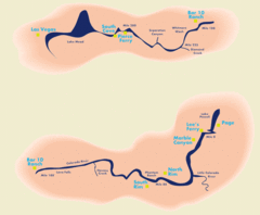
Grand Canyon River Rafting Map
Guide to the Colorado River, Grand Canyon river rafting
325 miles away
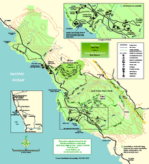
Salt Point State Park Map
Topo park map of Salt Point State Park and Kruse Rhododendron State Reserve. Shows trails by use...
326 miles away
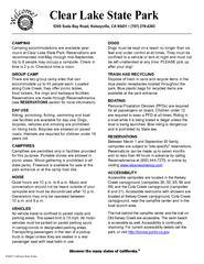
Clear Lake State Park Campground Map
Map of park with detail of trails and recreation zones
327 miles away
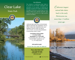
Clear Lake State Park Map
Map of park with detail of trails and recreation zones
327 miles away
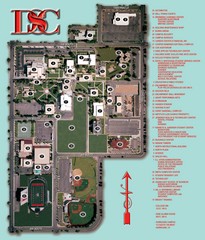
Dixie State College Campus Map
Campus Map
327 miles away
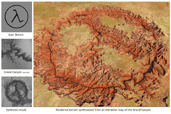
Rendered Terrain of the Grand Canyon Map
Created from Digital Elevation Models
328 miles away
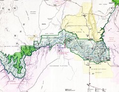
Grand Canyon Map
Guide to the Grand Canyon National Park
335 miles away
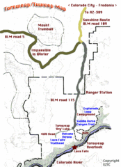
Toroweap Park Map
338 miles away
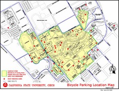
California State University, Chico Bike Parking...
Map that highlights all the available bike parking area and bike routes throughout the campus and...
339 miles away
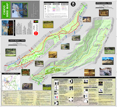
Upper and Lower Bidwell Park Bike Map
Bike map of Upper Bidwell Park and Lower Bidwell Park in Chico, California
340 miles away

Chico, California City Map
340 miles away
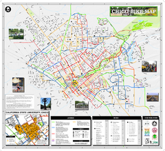
Chico Bike Map
Bicycle route map of Chico, California
340 miles away

Nevada Map
345 miles away
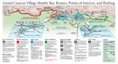
Grand Canyon Shuttle Bus Map
Guide to shuttle bus routes, points of interest and parking in Grand Canyon National Park
347 miles away
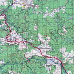
Lassen National Park Map
Forest Visitor Map showing locations of most camping and recreational areas in the eastern part of...
351 miles away
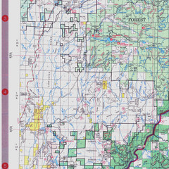
Lassen National Park Map
Visitor Map that shows most of Lassen National Forest with locations of camp grounds and...
351 miles away
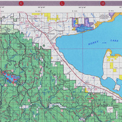
Lassen National Park Map
Forest Visitor Map of the farthest east of the park, shows all camping and recreational areas and...
352 miles away
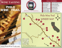
Philo Wine Map
Shows wineries great for wine tasting in the Anderson Valley along Route 128 in Philo California.
353 miles away
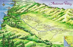
Anderson Valley Wine Map
Shows wineries/vineyards in Anderson Valley, California along Route 128 from Navarro, California to...
354 miles away
Hendy Woods State Park Campground Map
Map of campground region park with detail of trails and recreation zones
354 miles away

