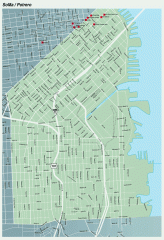
SoMa, Potrero Hill tourist map
Tourist map of SoMa and Potrero Hill in San Francisco
251 miles away
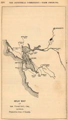
Antique map of San Francisco from 1901
"Milk Map of San Franciso, Cal., Showing Productive Area of Supply." From Report of the...
251 miles away
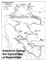
Grizzly Peak Century North Loop Route Map
Road bike route map of the north loop in the Grizzly Peak Century Ride. From site: "The...
251 miles away
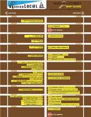
San Francisco Mission Restaurant Map
251 miles away

1852 San Francisco Map
Guide to San Francisco, prior to 1852
251 miles away
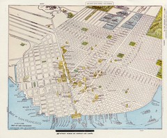
1896 San Francisco Perspective Map
Guide to historic San Francisco, in hand drawn perspective
251 miles away
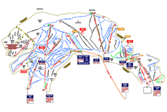
Heavenly Ski Resort Ski Trail Map
Trail map from Heavenly Ski Resort, which provides downhill, nordic, and terrain park skiing. It...
251 miles away
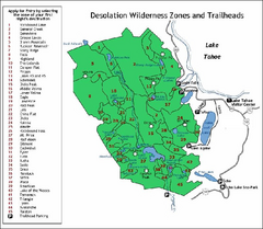
Desolation Wilderness, Lake Tahoe, California Map
Map of Desolation Wilderness, southwest of Lake Tahoe, California. Shows pack-in camping zones...
251 miles away

San Francisco Historic Rail Map
Map of San Francisco historic rail lines
251 miles away
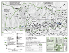
Tilden Regional Park Map - North
251 miles away
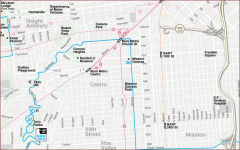
Castro, Mission, Haight-Ashbury, Noe Valley map
Tourist map of Castro, Mission, Haight-Ashbury, Noe Valley, and Twin Peaks in San Francisco
251 miles away
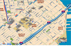
Downtown San Francisco: South of Market, Yerba...
Tourist map of South of Market (SOMA), Yerba Buena Center, and South Beach areas in downtown San...
251 miles away
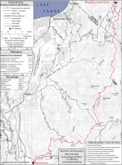
Tahoe Rim Trail: Kingsbury South to Big Meadows...
Topographic hiking map of the Kingsbury South-Big Meadows leg of the Tahoe Rim Trail. Shows...
251 miles away
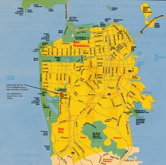
San Francisco City Map
City map of San Francisco with Lowell High School highlighted
251 miles away
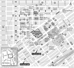
San Francisco City Center Map
251 miles away
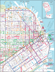
Downtown San Francisco Transit Map
Guide to area and transit in downtown San Francisco
251 miles away
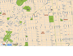
Downtown San Francisco: Castro and Noe Valley Map
Tourist map of the Castro and Noe Valley area in downtown San Francisco, California. Shows Twin...
251 miles away
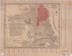
1907 San Francisco Earthquake Map
Map of areas destroyed by fire after 1906 earthquake
252 miles away
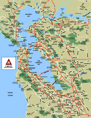
San Francisco Bay Area Map
252 miles away

San Francisco Bay Area Faults and Earthquake...
252 miles away
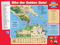
San Francisco Bike Map
252 miles away

Municipal Railway Map
252 miles away
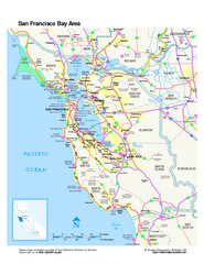
San Francisco Bay Area Map
Overview road map of the San Francisco Bay Area, California
252 miles away
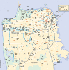
San Francisco Neighborhood Map
Neighborhood map of San Francisco, CA. Shows 49 mile scenic drive.
252 miles away

Double Decker Tour Bus Map
252 miles away
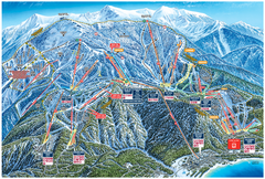
Heavenly Valley Ski Trail Map
Official ski trail map of Heavenly Valley ski area from the 2007-2008 season.
252 miles away
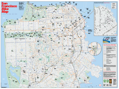
San Francisco Bike Map
Map showing bike paths, bike lanes, bike shops, public transportation, and grades of hills in San...
252 miles away
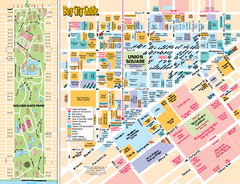
Union Square Tourist Map
Tourist map of Union Square district in San Francisco, California. Shows all venues and points of...
252 miles away
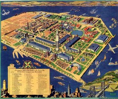
Golden Gate International Expo Cartograph 1939 Map
Bird's eye view of the Golden Gate International Expo in 1939 at Treasure Island in the San...
252 miles away
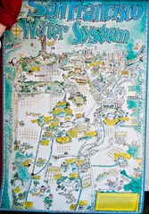
San Francisco Water System Cartoon Map
Cartoon map of the San Francisco Water System. From photo of poster from San Francisco Public...
252 miles away
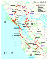
Bay Area Ridge Trail Map
Map of the Bay Area Ridge Trail. Shows completed segments through Sep 2009. "a 550+ mile...
252 miles away
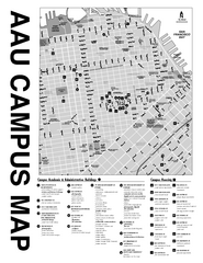
Academy of Art University San Francisco, CA Map
252 miles away
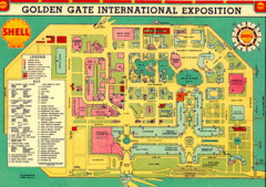
Golden Gate International Expo 1939 Map
Map of the 1939 Golden Gate International Expo.
252 miles away
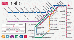
San Francisco Muni Metro map
Official SFMTA San Francisco MUNI Metro map. Shows overlapping BART stations and the Cal Train...
252 miles away
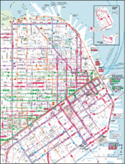
San Francisco Map
Highly detailed map of San Francisco roads and transportation.
252 miles away
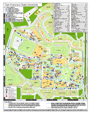
San Francisco State University Map
Campus map of San Francisco State University. All areas shown.
252 miles away
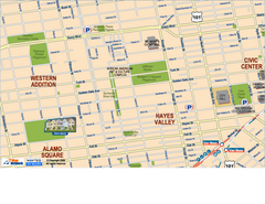
Hayes Valley, Fillmore, Western Addition, Alamo...
Tourist map of Hayes Valley, Fillmore, Western Addition, and Alamo Square in San Francisco.
252 miles away
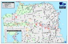
San Francisco 2009 Marathon Map
Guide to the 2009 San Francisco Marathon and Half Marathon
252 miles away
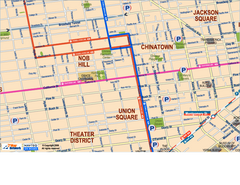
Downtown San Francisco: Union Square, Chinatown...
Tourist map of Union Square, Chinatown and Nob Hill in Downtown San Francisco, California. Public...
252 miles away
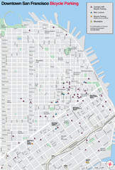
San Francisco Bike Parking Map
Multiple bike-parking points in San Francisco.
252 miles away

